Levada da Rocha Vermelha A
Through a long tunnel to the levada above the Rabaçal valley
- Distance8.7 km · one way
- Time≈ 2 hrEstimated from the route and the 5 m survey
- Climb↑ 30 m
- DifficultyModerate
- From Funchal≈ 50 min by carRoughly, by car from the middle of Funchal
- Tunnel: bring a torch
- Parking On site
- Toilets 30 m
The place
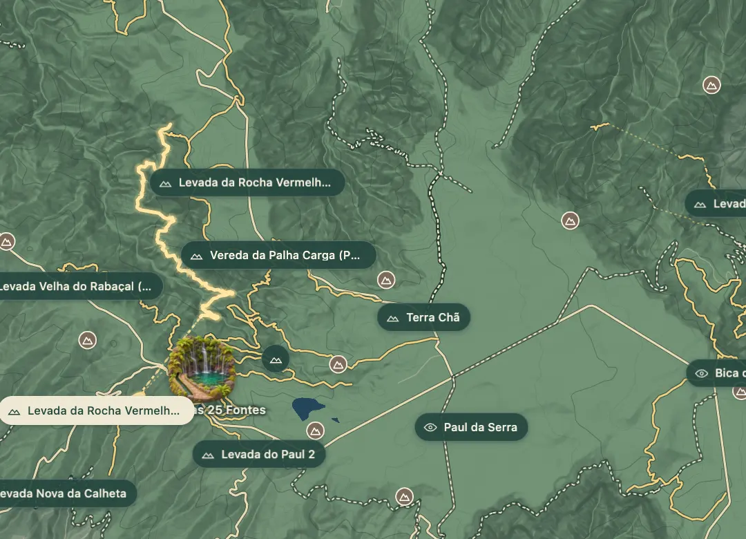
The Levada da Rocha Vermelha, also called Água do Vimieiro, starts on the Ribeira da Fajã dos Remos and gathers the streams around it into one channel, which ends at a small loading chamber at Rocha Vermelha on the Calheta side of the hills. This route walks it from the south: it starts at the Caldeira picnic area, known as the Garagem, on the Estrada Dr. Roberto Monteiro, passes through a levada tunnel about 1.65 km long and then follows the channel north to its upper end near Fajã dos Remos.
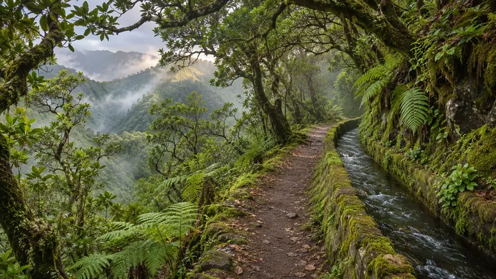
The channel is almost level at about 830 m, and the walk is about 8.7 km one way, roughly two hours each way. Long stretches run beside steep drops, with waterfalls and views over the Rabaçal valley and the Ribeira da Janela in the Laurissilva forest. The same levada carries the official PR 28, which was listed as closed in November 2026, so check its status before you set out.
When to come
A dry, settled day, and only once the PR 28 on the same levada is listed open again.
Getting there
Start at the Caldeira picnic area, the Garagem, on the Estrada Dr. Roberto Monteiro, where the PR 6.6 Vereda do Túnel do Cavalo also begins; come back the same way.
Highlights
- A levada tunnel about 1.65 km long near the start.
- Waterfalls and views over the Rabaçal valley and the Ribeira da Janela.
- Laurissilva forest along an almost level channel at about 830 m.
- The Caldeira picnic area at the start, with toilets and a shelter.
The walk, start to finish
Before you go
Safety
Exposure: long stretches with steep drops beside the path.
Bring
Tunnel: bring a strong torch and a spare for the tunnel of about 1.65 km.
Worth knowing
Distance and time: about 8.7 km one way, about two hours each way.
Climb: about 30 m along the channel; the levada is almost level.
Status: the official PR 28 on this levada was listed as closed in November 2026; check before you go.
Fee: when open, the PR 28 is an official trail: pay on SIMplifica (simplifica.madeira.gov.pt): €4.50 in 2026 for visitors over 12, children 12 and under exempt.