Trails
Trails and levadas on Madeira
From the ridge walk between the two highest peaks to easy levadas through laurel forest: when to start each walk, and what to bring.
The Madeira app is coming soon
 Trails · PR1AI illustration
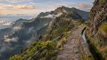
Vereda do Areeiro
The ridge walk between the two highest peaks Trails · PR6AI illustration
Levada das 25 Fontes
The island’s most walked levada, for good reason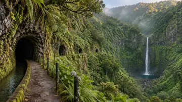 Trails · PR9AI illustration
Levada do Caldeirão Verde
Four unlit tunnels to a waterfall in a bowl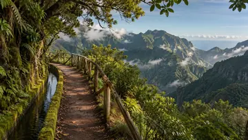 Trails · PR11AI illustration
Vereda dos Balcões
Twenty flat minutes to the best cheap view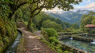 TrailsAI illustration
Ribeiro Frio
Laurisilva, trout tanks, and the trailhead for two walks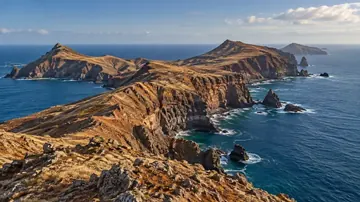 Trails · PR8AI illustration
Ponta de São Lourenço
The dry end of the island, with nowhere to hide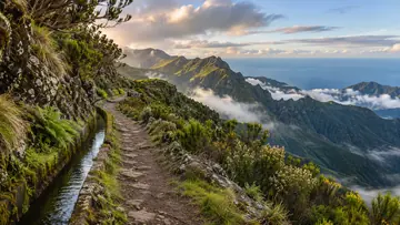 Trails · PR1.3AI illustration
PR1.3 - Vereda da Encumeada
An 11km ridge walk toward Encumeada — currently a there-and-back, not a through-hike.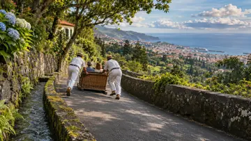 TrailsAI illustration
Carros de Cesto do Monte
Wicker sledges steered by two 'carreiros' coast 2km downhill from Monte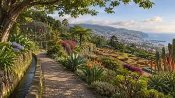 TrailsAI illustration
Jardim Botânico da Madeira
2,000+ plant species terraced into a hillside, plus a parrot park and views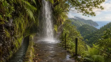 Trails · PR18AI illustration
Levada do Rei (PR18)
A waterfall falls straight onto the trail near São Jorge — you walk right through it.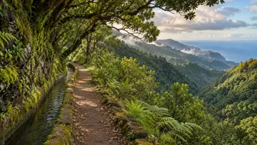 Trails · PR10AI illustration
Levada do Furado (PR10)
Madeira's classic forest levada from Ribeiro Frio to Portela — verify it's open first.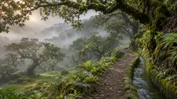 Trails · PR14AI illustration
Levada dos Cedros (PR14)
One of Madeira's oldest levadas, laced through fogbound ancient forest near Fanal.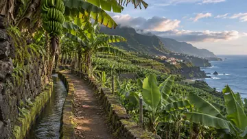 TrailsAI illustration
Rota da Banana
A half-hour walk through Madeira's biggest banana plantation on tiny levadas.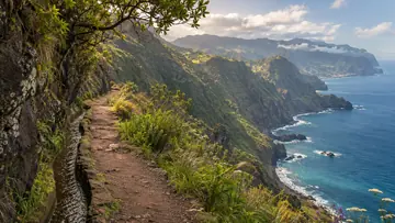 TrailsAI illustration
Vereda do Larano
Old coastal path from Porto da Cruz toward Machico; cliff edges, no guardrails.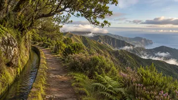 Trails · PR6.2AI illustration
Levada do Alecrim (PR6.2)
A quiet, easy levada at 1,300 m, far less crowded than the famous 25 Fontes.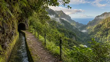 TrailsAI illustration
Levada da Ribeira da Janela
Thirteen kilometers of levada and pitch-black tunnels into a hidden valley.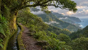 TrailsAI illustration
Chão da Ribeira
A hidden laurissilva valley above Seixal that locals call 'the sanctuary'.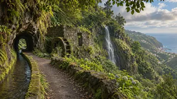 TrailsAI illustration
Levada Nova / Levada do Moinho
A loop past old watermill ruins and a rock tunnel to a waterfall above Ponta do Sol.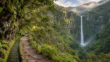 Trails · PR6.1AI illustration
Levada do Risco (PR6.1)
A short, easy walk from Rabaçal to a 100m waterfall dropping straight off the cliff.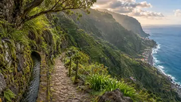 Trails · PR19AI illustration
Caminho Real do Paul do Mar (PR19)
A cobbled royal path plunging 500m in under 2km from Prazeres to the surf at Paul do Mar.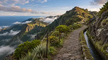 Trails · PR1.2AI illustration
PR1.2 - Vereda do Pico Ruivo
The short, cobbled, no-drama way to stand on the highest point in Madeira.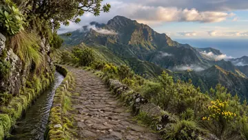 Trails · PR12AI illustration
PR12 - Caminho Real da Encumeada
A cobbled royal road toward Pico Grande — but only the first 3.5km are open right now.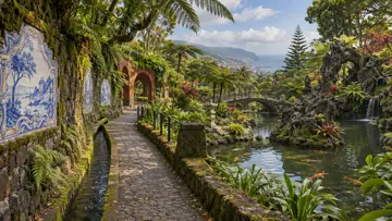 TrailsAI illustration
Monte Palace Tropical Garden
Azulejo tile panels, koi ponds and a volcanic-rock garden on a former quinta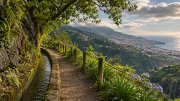 TrailsAI illustration
Levada dos Tornos
The levada walk you can start by cable car straight from old-town Funchal.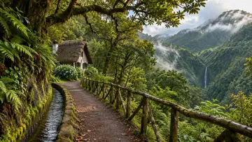 TrailsAI illustration
Parque das Queimadas
883 m thatched forest park, gateway to the Caldeirão Verde waterfall levada.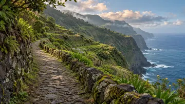 TrailsAI illustration
Caminho da Degolada
Steps from the Funduras forest down to the Larano cliff road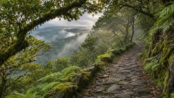 TrailsAI illustration
Caminho dos Pessegueiros
A steep old path from the north coast up to Paul da Serra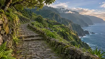 TrailsAI illustration
Caminho Real 24
The old footpath from Santana over the mountains down to Monte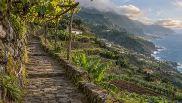 TrailsAI illustration
Caminho Real 25
The old royal road across the island, São Vicente to Funchal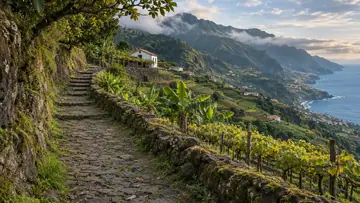 TrailsAI illustration
Caminho Real 27
Two days on the old road from Boaventura to Funchal via Curral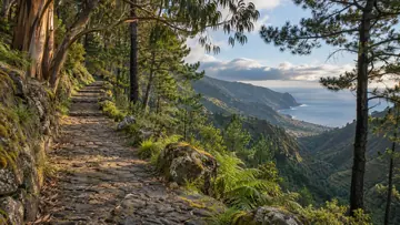 TrailsAI illustration
Caminho Real 28
From the quay at Ponta do Sol over the Paul da Serra to São Vicente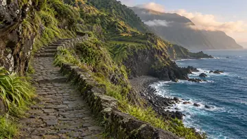 TrailsAI illustration
Caminho Real Boaventura
The old royal road from Arco de São Jorge to São Cristóvão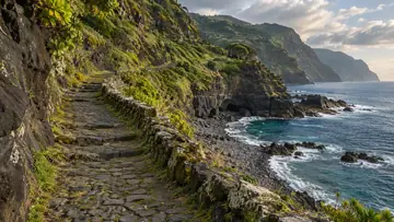 TrailsAI illustration
Caminho Real nº23 Achada do Gramacho
Cobbled royal road from Calhau de São Jorge to Achada do Gramacho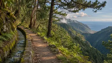 TrailsAI illustration
Levada da Negra
From the Poço da Neve snow house down the levada to Curral Velho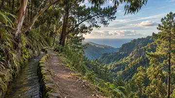 Trails · PR28AI illustration
Levada da Rocha Vermelha (PR28)
Past the levada's rapids and through tunnels to the Calheta valley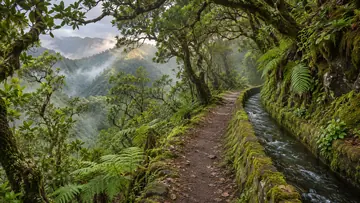 TrailsAI illustration
Levada da Rocha Vermelha A
Through a long tunnel to the levada above the Rabaçal valley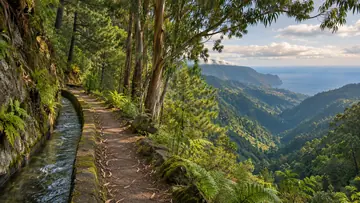 TrailsAI illustration
Levada da Serra do Faial
A long, level levada from Camacha to Choupana above Funchal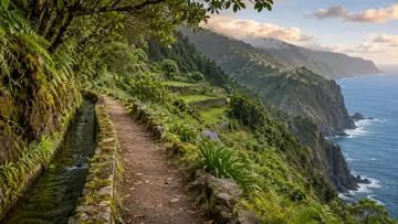 TrailsAI illustration
Levada das Faias
A north-coast levada past the waterfalls of Boaventura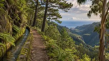 TrailsAI illustration
Levada das Rabaças
A narrow levada wall west of the Encumeada pass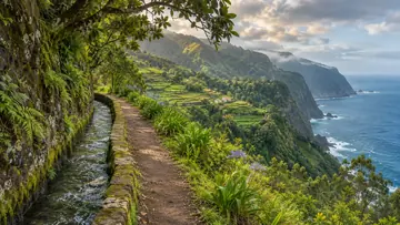 TrailsAI illustration
Levada de Santana
A nine-kilometre loop through the forest from Queimadas park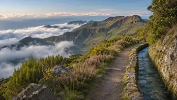 TrailsAI illustration
Levada do Blandy
A short high levada from the Arieiro road down to Poiso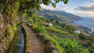 TrailsAI illustration
Levada do Bom Sucesso
The stepped climb from Funchal's old town up to Monte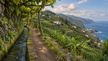 TrailsAI illustration
Levada do Caniço
From the source of the Caniço levada down to Assomada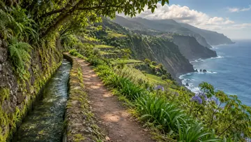 TrailsAI illustration
Levada do Castelejo
A long, level levada through the valleys west of Porto da Cruz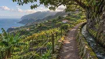 TrailsAI illustration
Levada do Curral
From Curral das Freiras past a village you can only reach on foot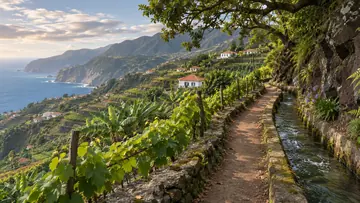 TrailsAI illustration
Levada do Moinho
From Lombada church into a gorge of waterfalls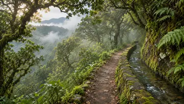 TrailsAI illustration
Levada do Norte (Nord)
From the Encumeada pass along the channel, through a 500 m tunnel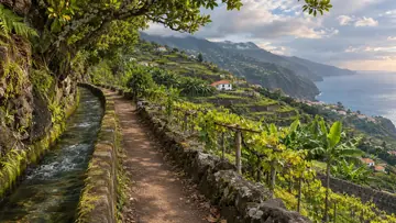 TrailsAI illustration
Levada do Norte (South)
Loops from Boa Morte on a channel high above the coast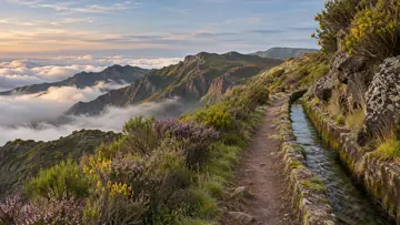 TrailsAI illustration
Levada do Paul 2
Along the southern rim of Paul da Serra to Bica da Cana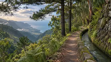 TrailsAI illustration
Levada do Poço do Bezerro
A short channel on the PR 10 loop from Ribeiro Frio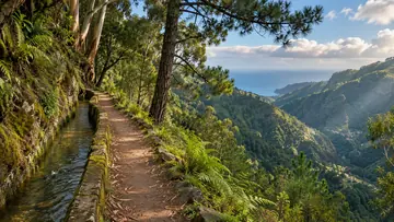 TrailsAI illustration
Levada do Poiso - Levada do Pico Furão
A level levada stroll above Curral das Freiras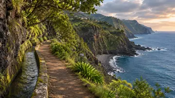 TrailsAI illustration
Levada dos Piornais
A levada walk without leaving Funchal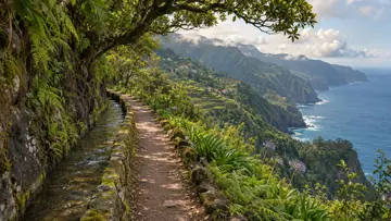 TrailsAI illustration
Levada dos Pombais
A short, quiet levada in the hills above Porto Moniz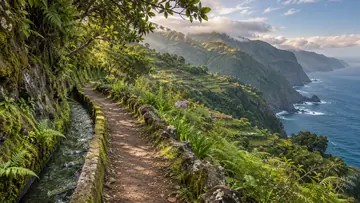 TrailsAI illustration
Levada dos Tornos - Norte
Down the Boaventura valley to the coastal platform of Fajã do Penedo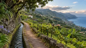 TrailsAI illustration
Levada dos Tornos - Sul
Twenty-eight kilometres above Funchal, split over two days at Camacha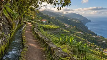 TrailsAI illustration
Levada Nova da Calheta
A long, flat walk from Calheta's power station west to Cabo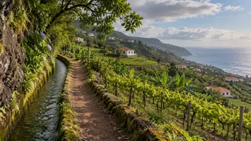 TrailsAI illustration
Levada Nova do Arco da Calheta
A one-way levada from Calheta's power station to Lombo de São João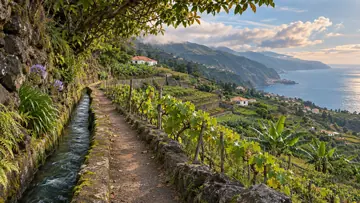 TrailsAI illustration
Levada Nova dos Canhas
The higher levada of the Lombada loop, with tunnels and drops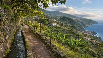 TrailsAI illustration
Levada Nova Tabua
Tunnels and waterfalls in the Tábua valley above Ribeira Brava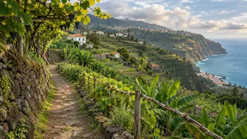 TrailsAI illustration
Lombada da Ponta do Sol
A circular walk above Ponta do Sol that links two levadas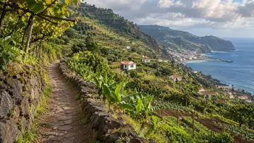 TrailsAI illustration
Machico - Ribeira do Natal
From Machico along the coast to the river mouth at Ribeira do Natal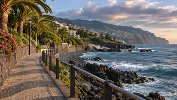 TrailsAI illustration
Passeio Marítimo (Lido - Doca do Cavacas)
The seafront promenade west from the Lido to Doca do Cavacas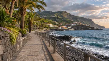 TrailsAI illustration
Passeio Marítimo (Praia Formosa - Câmara de Lobos)
The seafront link from Praia Formosa to the bay at Câmara de Lobos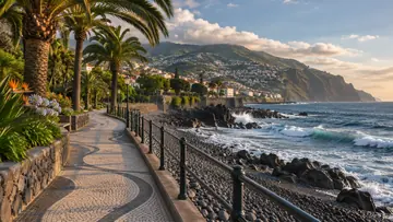 TrailsAI illustration
Passeio Público Marítimo
Funchal's seafront promenade, west towards Câmara de Lobos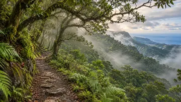 TrailsAI illustration
Terra Chã
Across the Paul da Serra plateau from Chão da Ribeira towards Fanal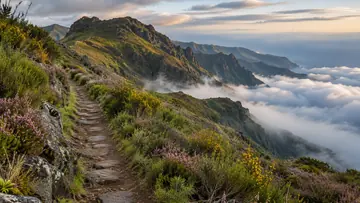 TrailsAI illustration
Vereda Achada do Teixeira - Arco de São Jorge
From 1,600 m at Achada do Teixeira down to Arco de São Jorge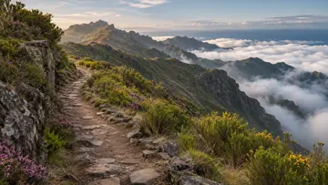 TrailsAI illustration
Vereda Achada do Teixeira - Fajã do Penedo
From Achada do Teixeira all the way down to the north coast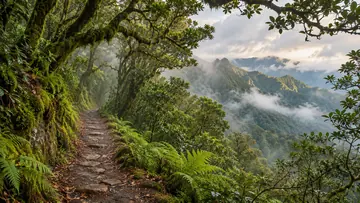 TrailsAI illustration
Vereda Achada do Teixeira - Queimadas
From Achada do Teixeira down through the forest to Queimadas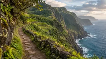 TrailsAI illustration
Vereda Boca do Risco
A climb from Machico to a gap in the cliffs over the north coast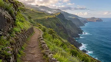 TrailsAI illustration
Vereda Boca do Risco - Caniçal
Cliff paths west from Caniçal to the Boca do Risco viewpoint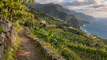 TrailsAI illustration
Vereda da Atalaia
A steep path down from the hills to the road near Paul do Mar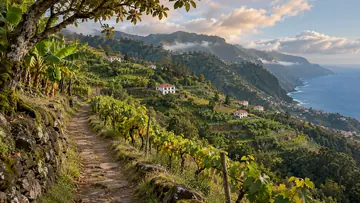 TrailsAI illustration
Vereda da Boca dos Namorados
From a lookout above Curral das Freiras down to Corticeiras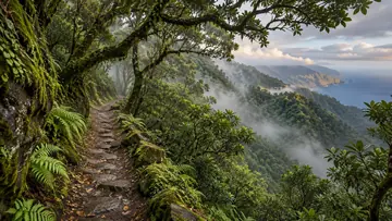 TrailsAI illustration
Vereda da Cavaca
A steep path between the hills of Seixal and the forest near Fanal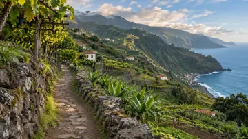 TrailsAI illustration
Vereda da Eira do Mourão
A short climb from Fajã da Ribeira to the Eira do Mourão lookout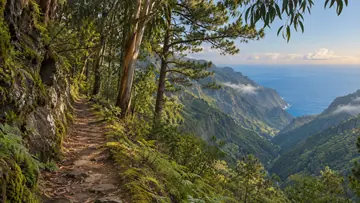 TrailsAI illustration
Vereda da Fajã da Nogueira
From the Fajã da Nogueira power station up to a levada of tunnels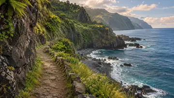 TrailsAI illustration
Vereda da Fajã do Barro
A short coastal path near Porto Moniz down to Fajã do Barro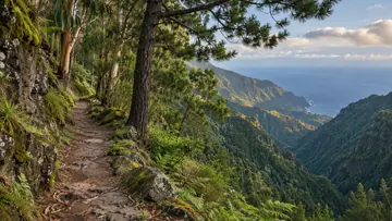 TrailsAI illustration
Vereda da Fajã Escura
From the high ground at Relvinha down to Fajã Escura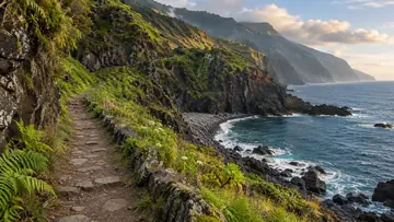 TrailsAI illustration
Vereda da Fajã Grande
One of Calheta's walking routes, down to Fajã Grande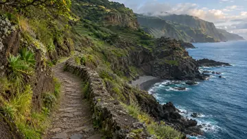 TrailsAI illustration
Vereda da Ladeira
From the Pombais viewpoint down to the pebble beach at Achadas da Cruz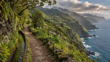 TrailsAI illustration
Vereda da Levada do Caniçal
A long, nearly level levada from Caniçal to Maroços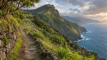 TrailsAI illustration
Vereda da Penha D'Aguia
Up the 600 m Eagle's Rock between Porto da Cruz and Faial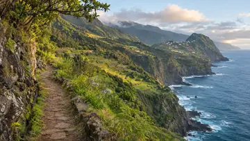 TrailsAI illustration
Vereda da Penha D'Águia ao Faial
From the foot of Eagle's Rock to the village of Faial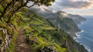 TrailsAI illustration
Vereda da Ribeira Funda
From the laurel forest of Fanal down to Ribeira Funda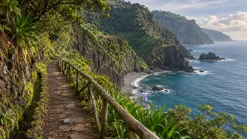 TrailsAI illustration
Vereda da Rocha do Navio
Stairs down a cliff to a farmed fajã and a booming shore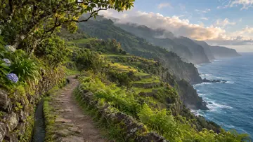 TrailsAI illustration
Vereda da Terra Baptista
A steep climb from Porto da Cruz to the ridge below Pedreiro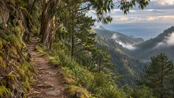 TrailsAI illustration
Vereda da Trompica
A three-hour loop through the high interior from Boca da Corrida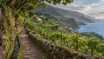 TrailsAI illustration
Vereda das Furnas
A short, steady climb from Meia Légua to Furnas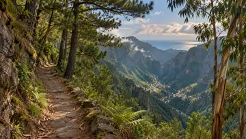 TrailsAI illustration
Vereda das Voltas
Down the old zigzag road from Eira do Serrado to Curral das Freiras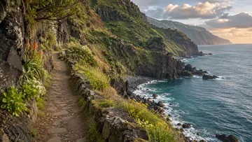 TrailsAI illustration
Vereda do Calhau da Lapa
A steep path down from Campanário to a small pebble beach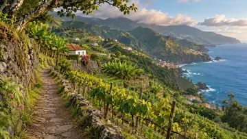 TrailsAI illustration
Vereda do Espigão
A climb to the Espigão lookout over the Serra de Água valley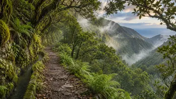 TrailsAI illustration
Vereda do Galhano
From Paul da Serra's western rim down to the Ribeira da Janela levada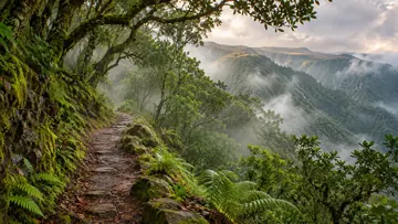 TrailsAI illustration
Vereda do Lombo Barbinhas
From Paul da Serra down a steep ridge to Chão da Ribeira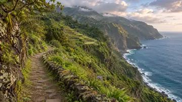 TrailsAI illustration
Vereda do Pesqueiro
From Lombadinha down to the sea and back up again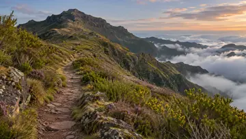 TrailsAI illustration
Vereda do Pico Grande
The path off PR 12 to the 1,654 m summit of Pico Grande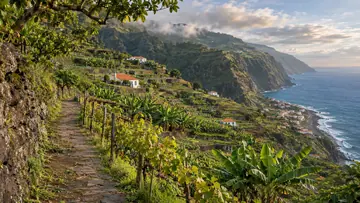 TrailsAI illustration
Vereda dos Zimbreiros
A short walk down to the fishing village of Paúl do Mar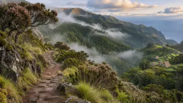 Trails · PR1.1AI illustration
Vereda da Ilha (PR1.1)
Down 1,274 m from the Pico Ruivo shelter to the village of Ilha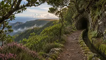 Trails · PR6.6AI illustration
Vereda do Túnel do Cavalo (PR6.6)
Through the 800 m Túnel do Cavalo to the levada of 25 Fontes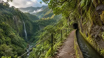 Trails · PR16AI illustration
Levada Fajã do Rodrigues (PR16)
Tunnels and waterfalls from Ginjas into the Ribeira do Inferno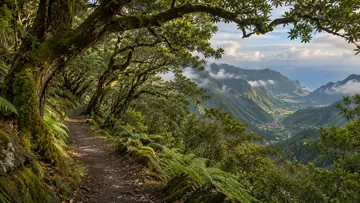 Trails · PR22AI illustration
Vereda do Chão dos Louros (PR22)
A 45-minute loop through the laurel wood of Chão dos Louros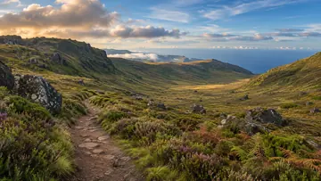 Trails · PR27AI illustration
Glaciar de Planalto (PR27)
Traces of an Ice Age glacier on the Paul da Serra plateau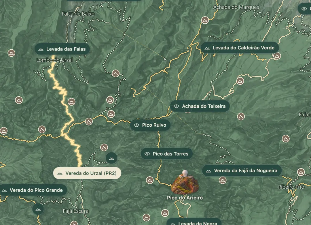 Trails · PR2© OpenStreetMap
Vereda do Urzal (PR2)
An old path over the mountains from Curral das Freiras to Boaventura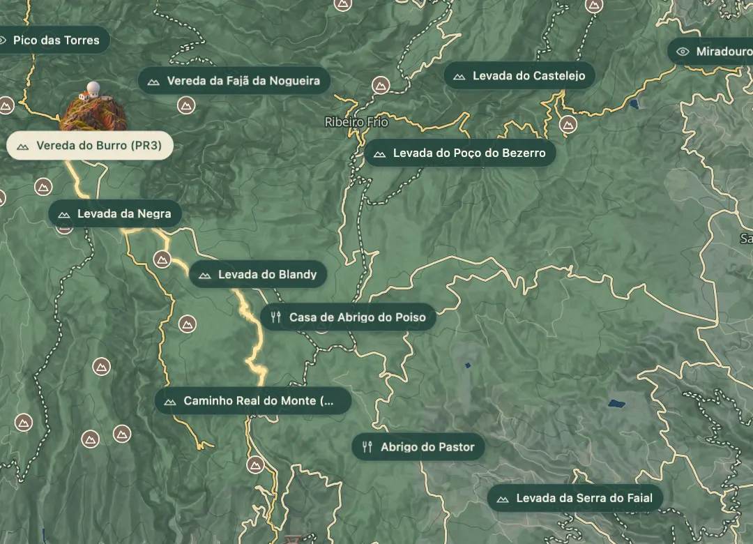 Trails · PR3© OpenStreetMap
Vereda do Burro (PR3)
Almost all downhill from Pico do Areeiro to Funchal's Ecological Park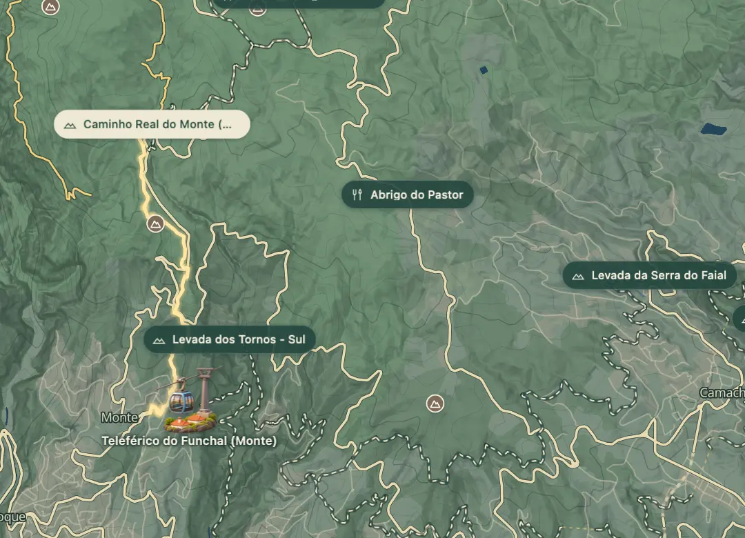 Trails · PR3.1© OpenStreetMap
Caminho Real do Monte (PR3.1)
Down the old royal road to Monte, past the Pico Alto viewpoint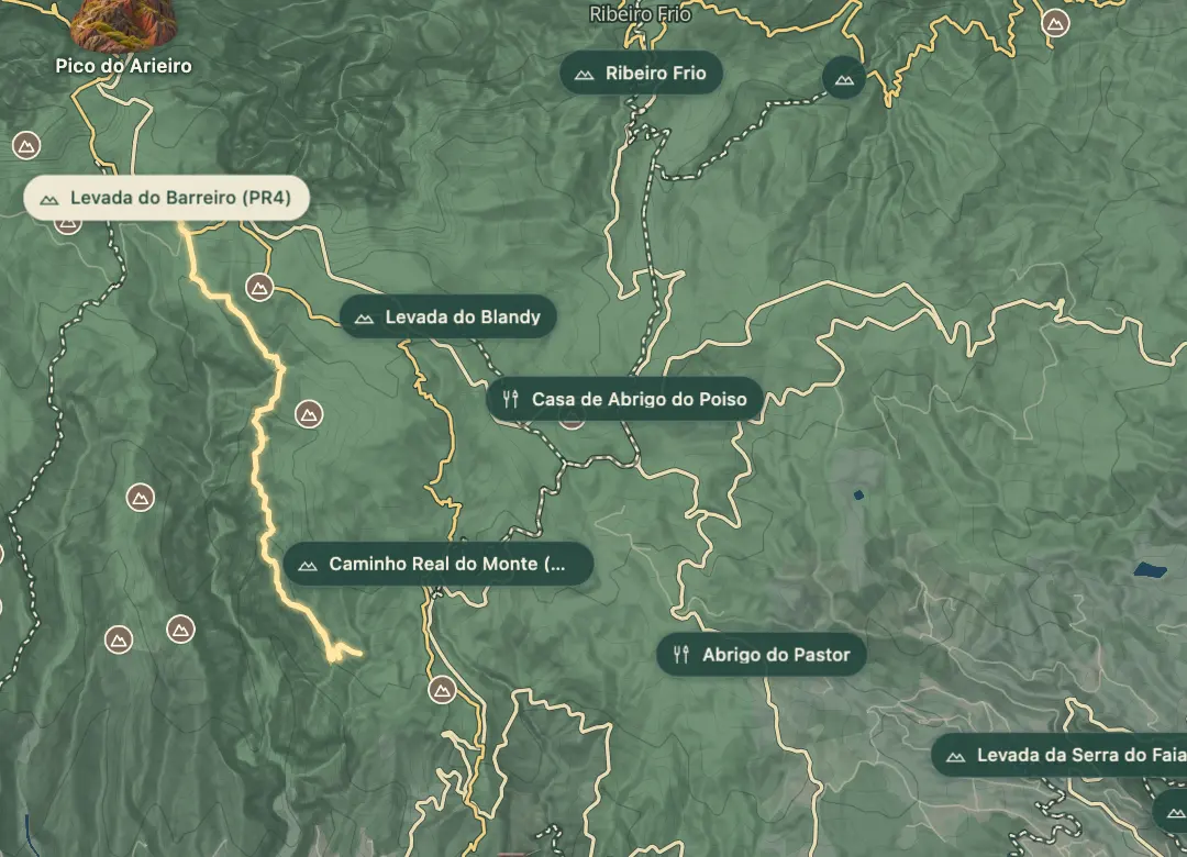 Trails · PR4© OpenStreetMap
Levada do Barreiro (PR4)
From the 1813 ice house to a levada with views over Funchal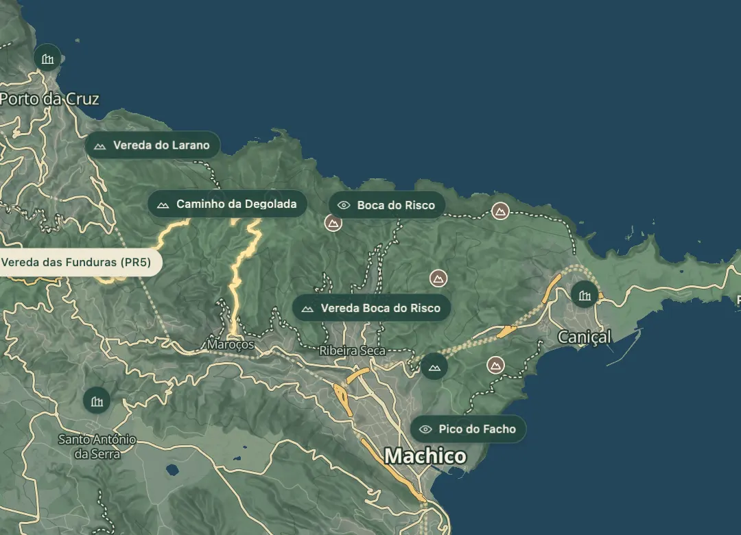 Trails · PR5© OpenStreetMap
Vereda das Funduras (PR5)
The south slope's best laurissilva, from Portela down to Maroços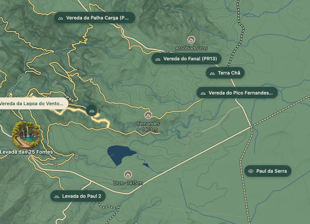 Trails · PR6.3© OpenStreetMap
Vereda da Lagoa do Vento (PR6.3)
From Rabaçal to the waterfall pool of Lagoa do Vento and back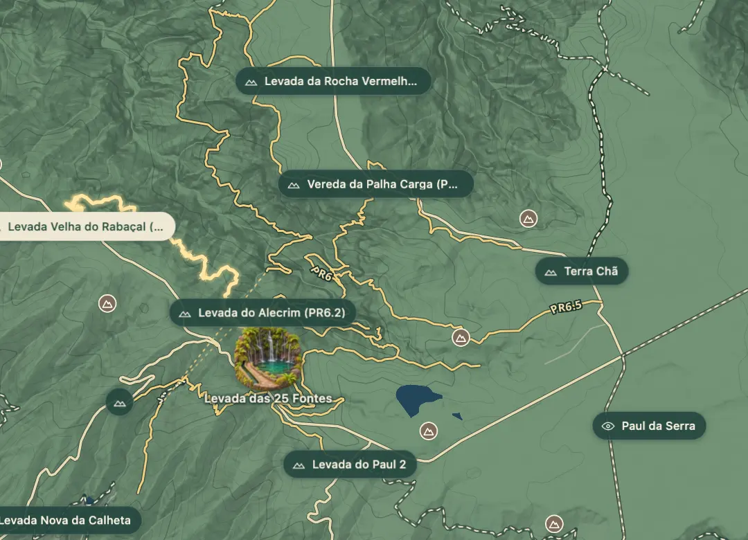 Trails · PR6.4© OpenStreetMap
Levada Velha do Rabaçal (PR6.4)
An old levada, now usually dry, from Pico Gordo to Casa do Rabaçal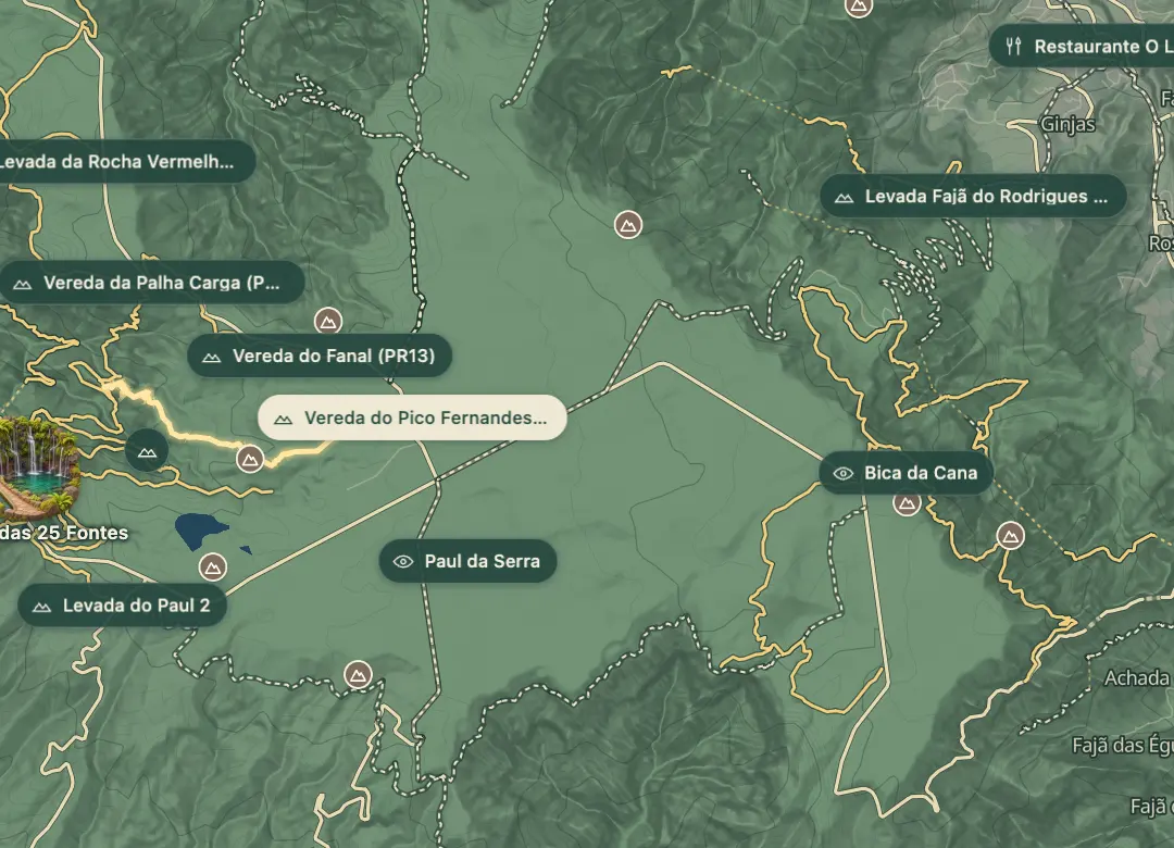 Trails · PR6.5© OpenStreetMap
Vereda do Pico Fernandes (PR6.5)
Down from the Paul da Serra heath by Pico Fernandes to 25 Fontes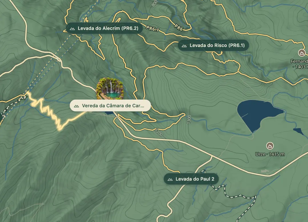 Trails · PR6.7© OpenStreetMap
Vereda da Câmara de Carga do Rabaçal (PR6.7)
Steep zigzags from Rabaçal's loading chamber to the Túnel do Cavalo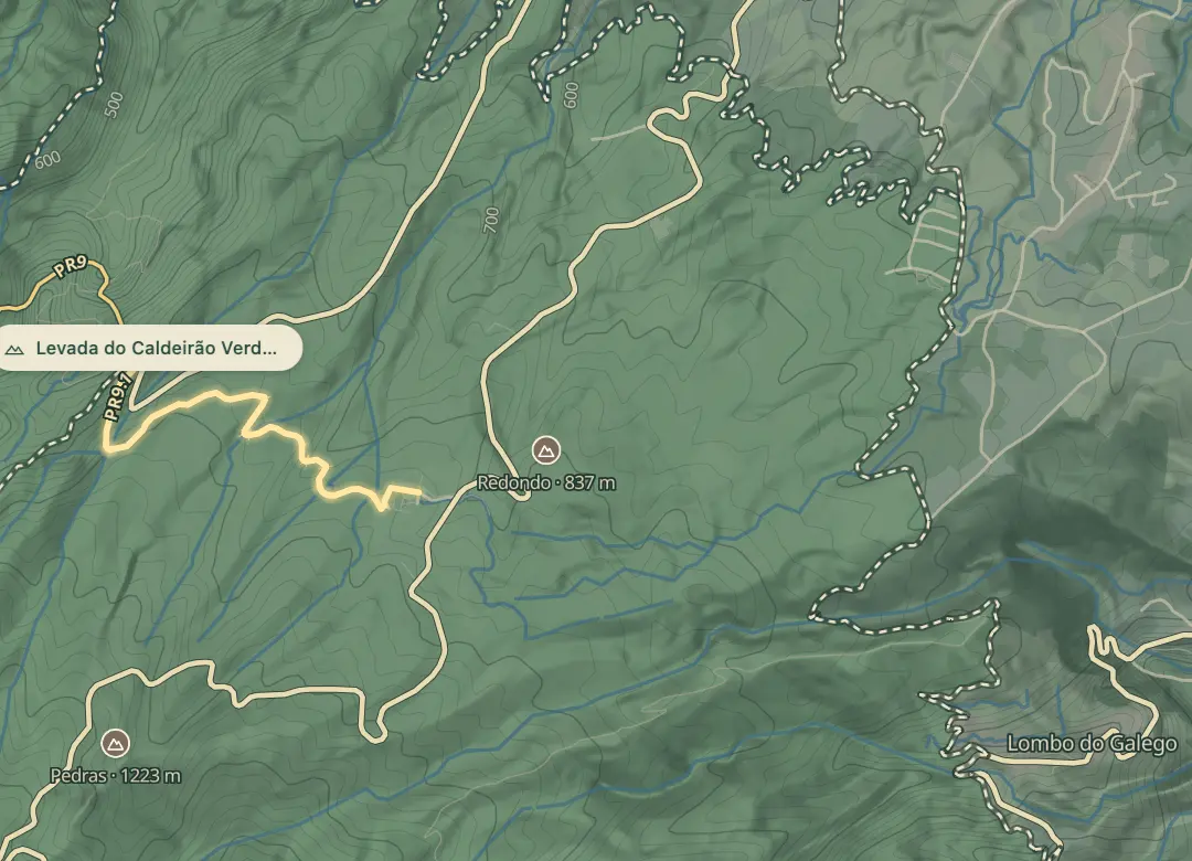 Trails · PR9.1© OpenStreetMap
Levada do Caldeirão Verde – Um Caminho para Todos (PR9.1)
A path for everyone beside the Caldeirão Verde levada from Queimadas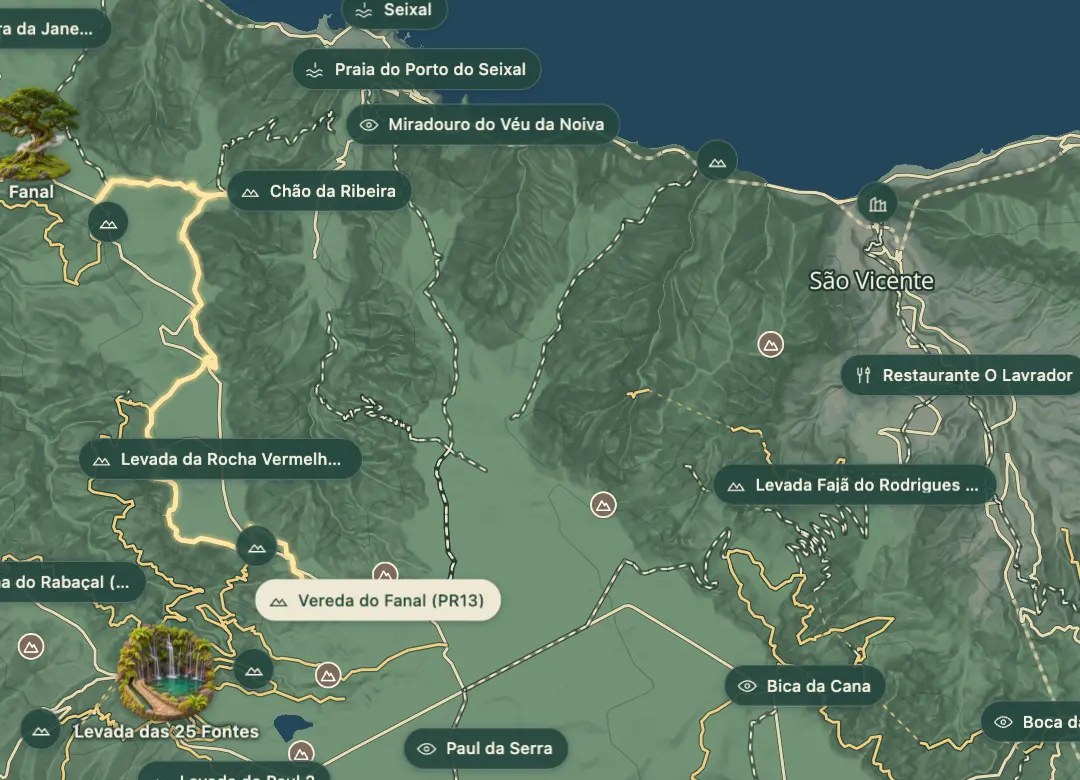 Trails · PR13© OpenStreetMap
Vereda do Fanal (PR13)
From the Paul da Serra to the centuries-old til trees of Fanal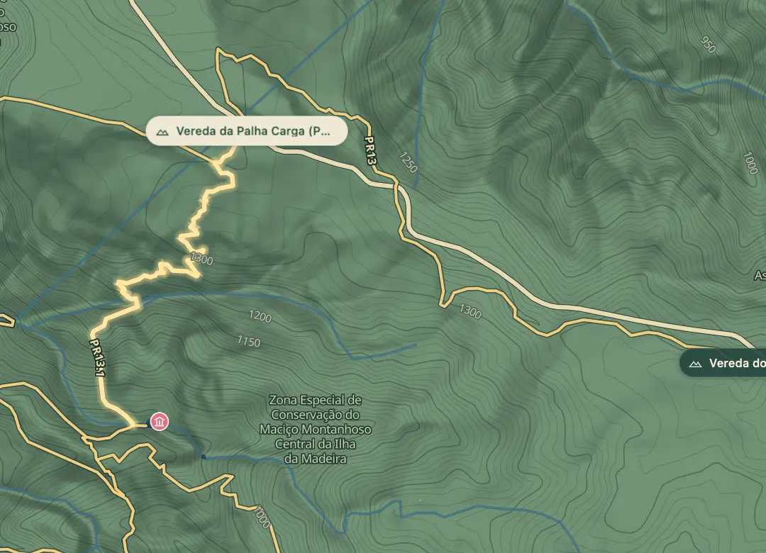 Trails · PR13.1© OpenStreetMap
Vereda da Palha Carga (PR13.1)
A path named for an endemic grass, down to the 25 Fontes lagoon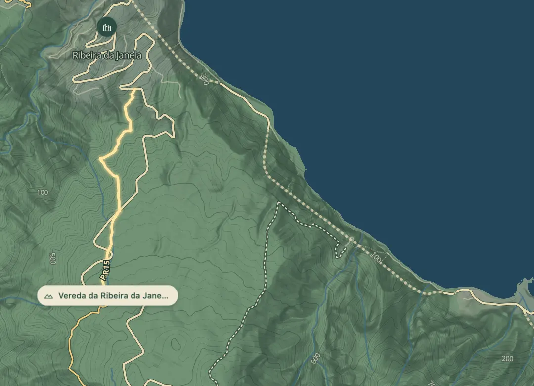 Trails · PR15© OpenStreetMap
Vereda da Ribeira da Janela (PR15)
Down the villagers' old wood and wine path to Ribeira da Janela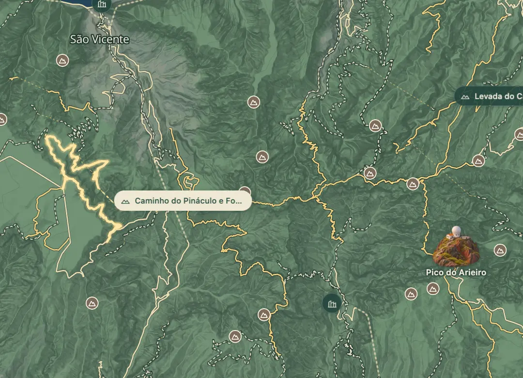 Trails · PR17© OpenStreetMap
Caminho do Pináculo e Folhadal (PR17)
Levada do Norte tunnels and waterfalls from Encumeada to Bica da Cana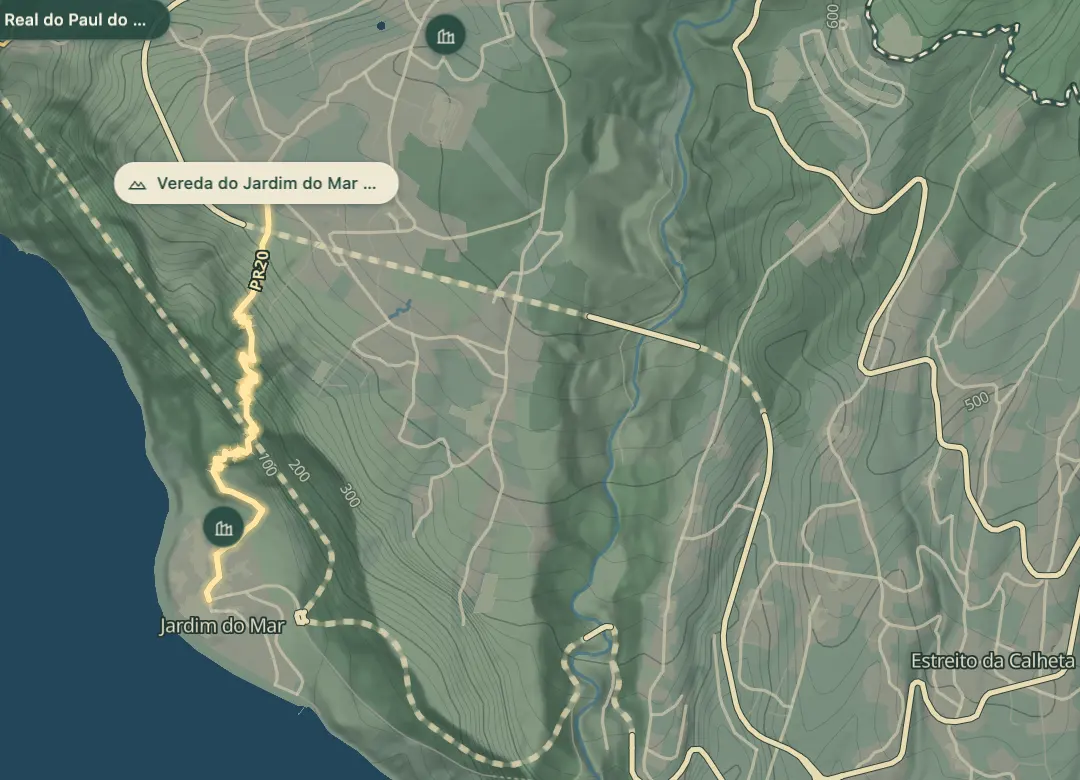 Trails · PR20© OpenStreetMap
Vereda do Jardim do Mar (PR20)
About 500 m down from Prazeres to the coast at Jardim do Mar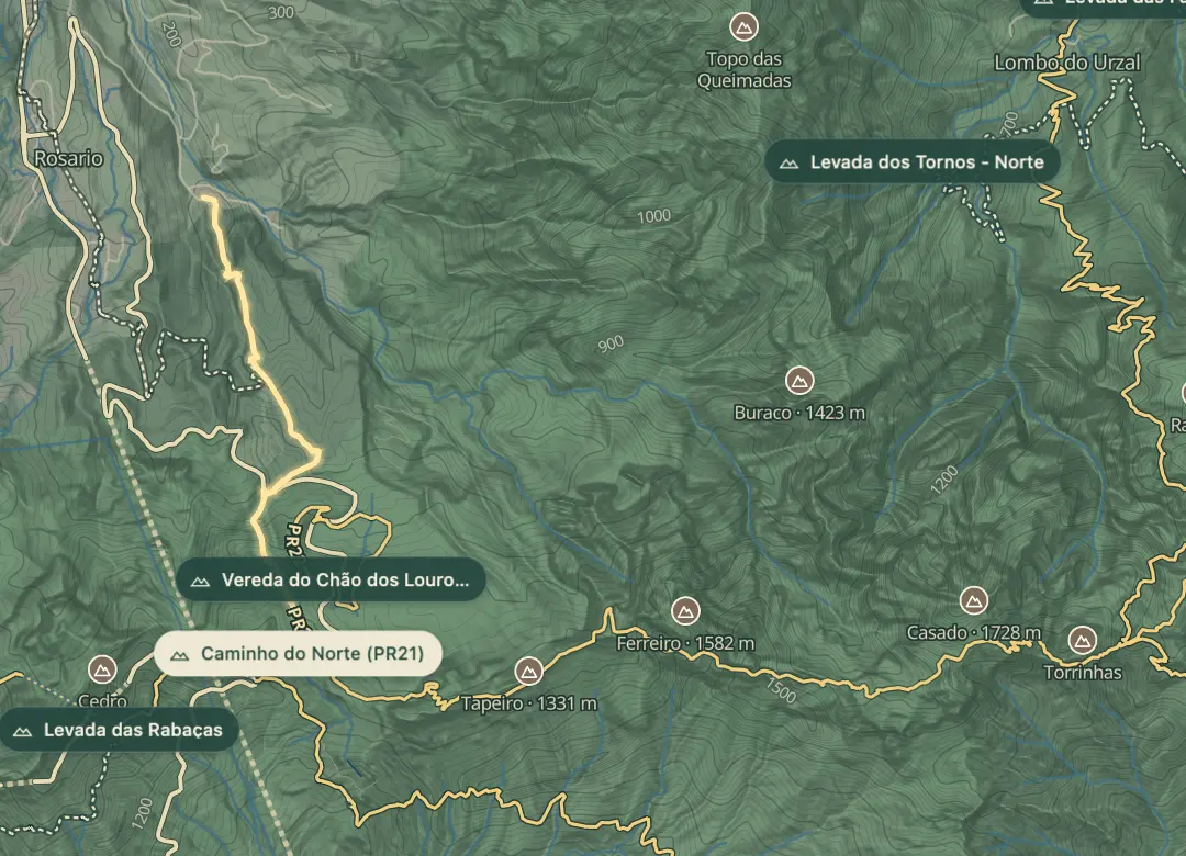 Trails · PR21© OpenStreetMap
Caminho do Norte (PR21)
The old path of traders and pilgrims from Encumeada to Ribeira Grande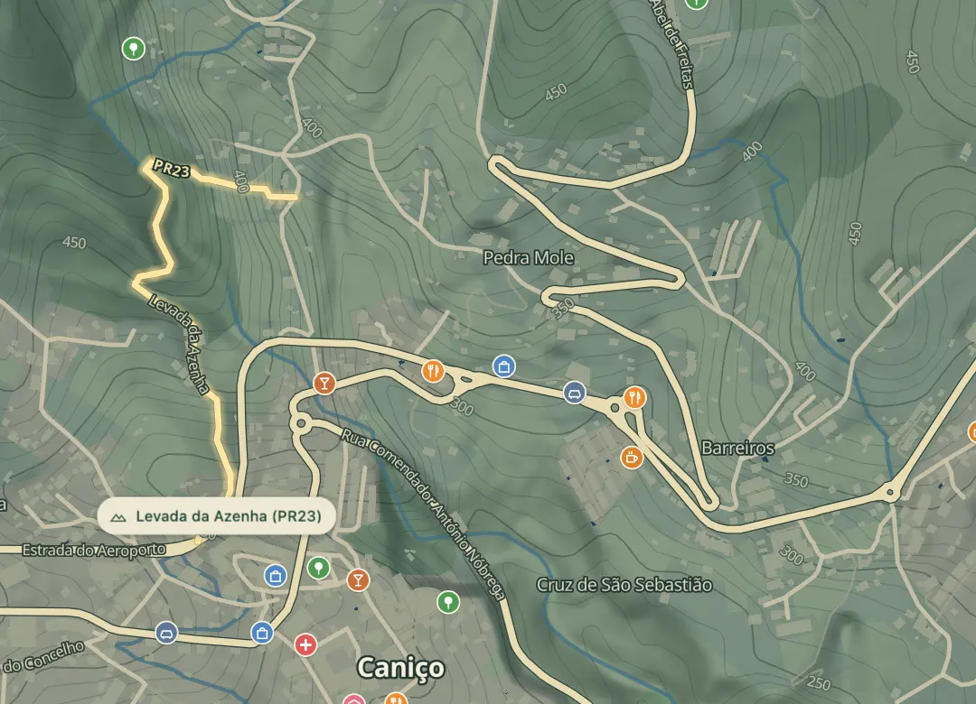 Trails · PR23© OpenStreetMap
Levada da Azenha (PR23)
A 20-minute levada walk past washhouses and a ruined mill in Caniço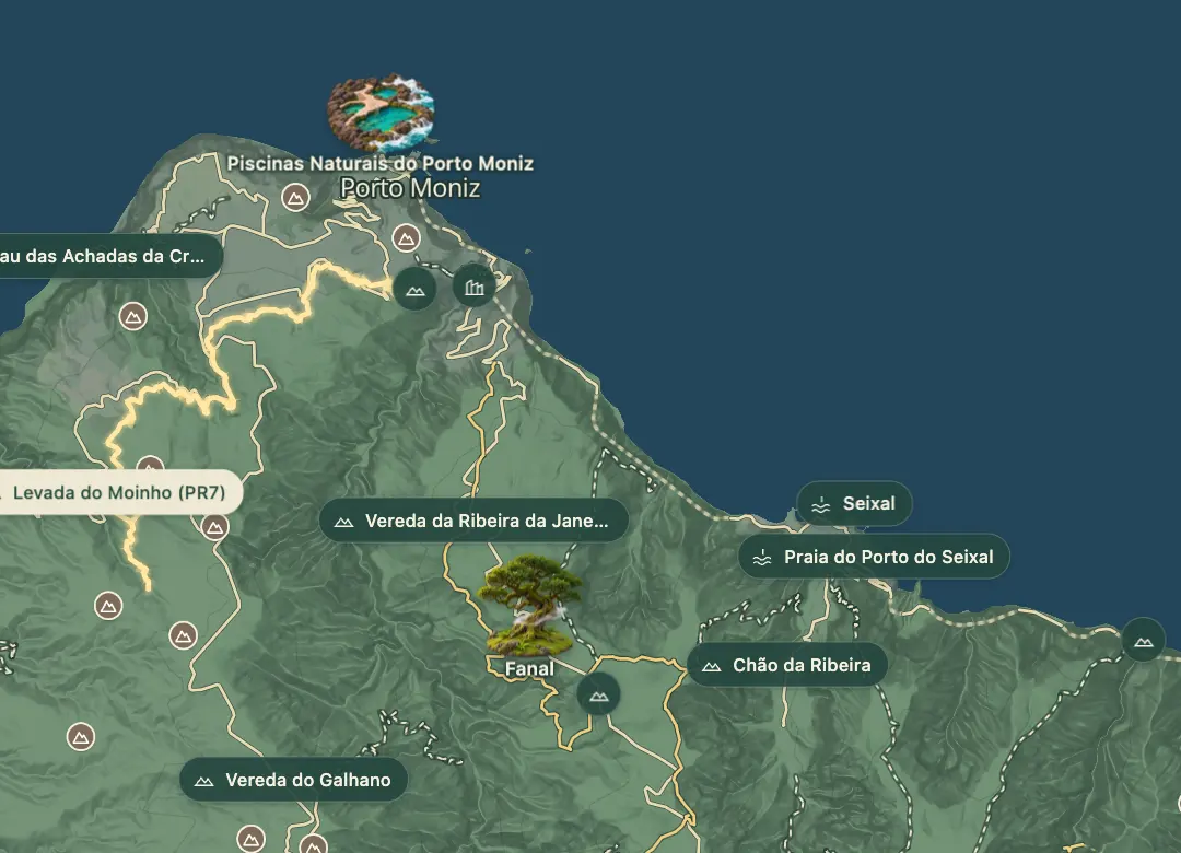 Trails · PR7© OpenStreetMap
Levada do Moinho (PR7)
Past old mill ruins on the north-west levada from Ribeira da Cruz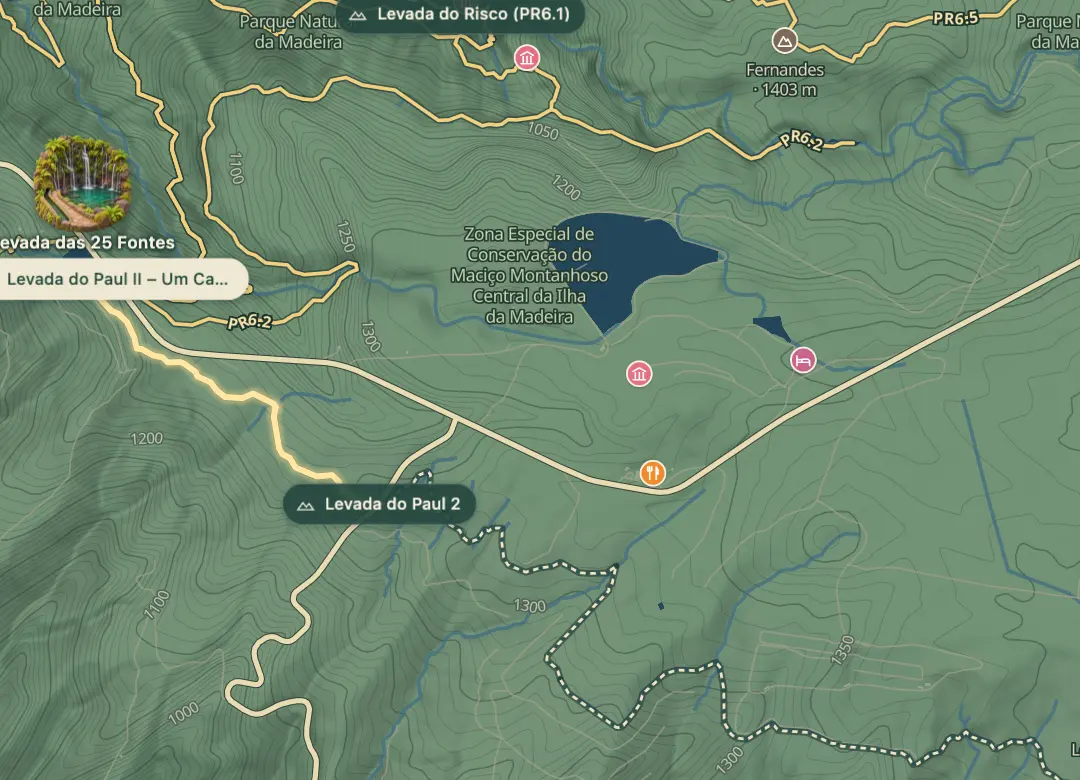 Trails · PR6.8© OpenStreetMap
Levada do Paul II – Um Caminho para Todos (PR6.8)
A level 1.2 km levada path at 1,280 m, built for everyone