Caminho Real 28
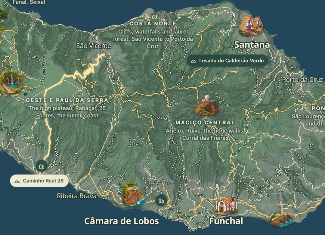
From the quay at Ponta do Sol over the Paul da Serra to São Vicente
- Distance24.1 km · one way
- Time≈ 11 hrEstimated from the route and the 5 m survey
- Climb↑ 1,590 m
- DifficultyHard
- From Funchal≈ 30 min by carRoughly, by car from the middle of Funchal
- Bus stop 270 m
- Parking 120 m
- Water 200 m
- Café 60 m
- Toilets 200 m
The place
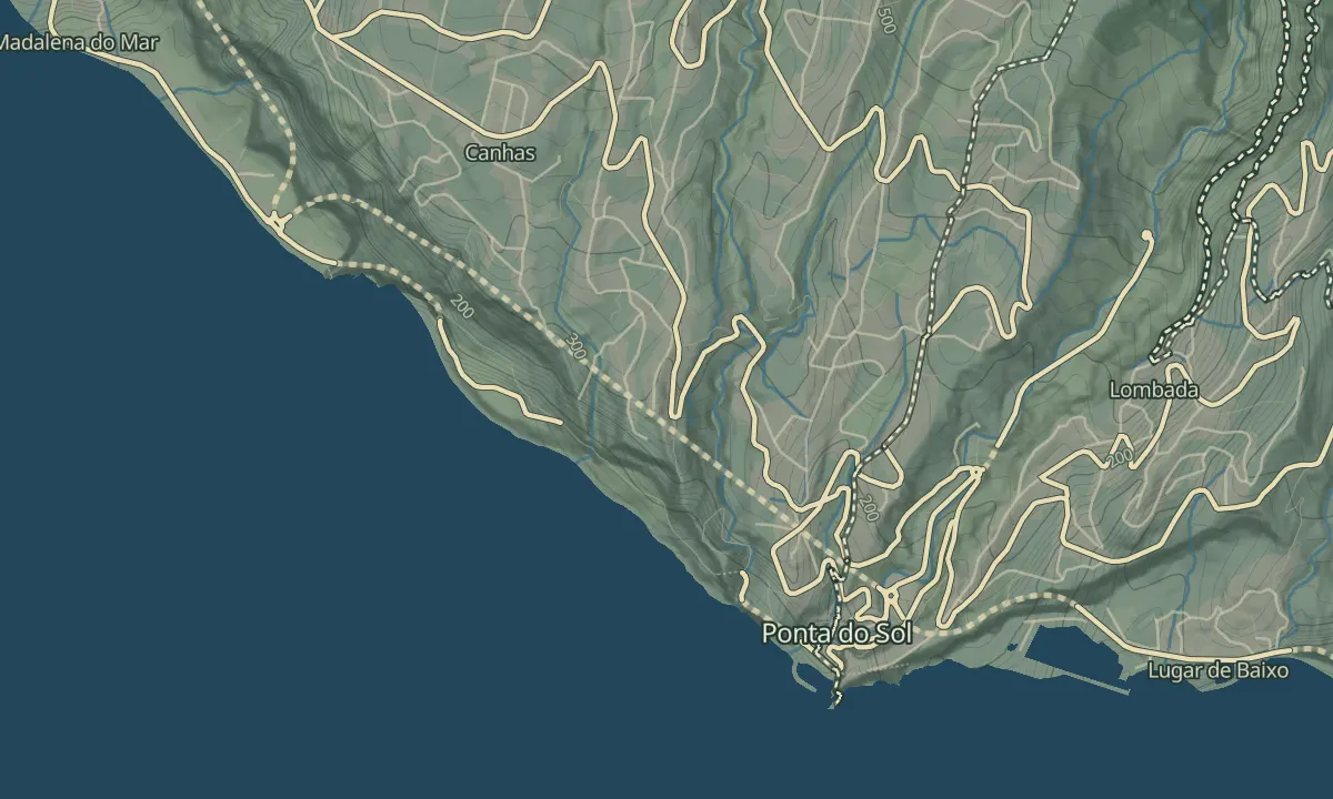
Caminho Real 28 crosses the island from the west coast toward the north, starting at the quay in Ponta do Sol and climbing onto the Paul da Serra plateau before it comes down toward São Vicente. The high ground near Estanquinhos reaches just under 1,600 m, and an ER 209 viewpoint at about 1,375 m has a small chapel opposite a wind turbine.
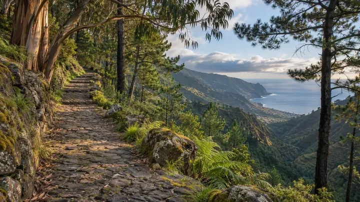
The walk follows levadas, tracks and paths, with the Levada Nova and the Levada do Paul on the first day and the Fajã do Rodriguez waterfalls on the second. The route is long for one day, so two days suit it better than one. The final leg follows the Caminho Velho das Ginjas, and the second day's descent runs on the ER 208.
When to come
Pick a clear, dry day in spring or autumn, since the plateau is high and levada paths turn muddy after rain. Start early so the first day's climb is done in cooler hours.
Getting there
Park in Ponta do Sol and walk to the quay, where the route starts beside the small islet reached by a bridge; the route finishes toward São Vicente by the Caminho Velho das Ginjas.
Highlights
- A long crossing from the sea at Ponta do Sol up onto the Paul da Serra plateau.
- The highest point on the route, Estanquinhos, sits just under 1,600 m.
- The route passes south of Pico Ruivo do Paul, which rises to 1,640 m.
- Fajã do Rodriguez and its waterfalls come on the second day, before the finish on the Caminho Velho das Ginjas.
The walk, start to finish
Before you go
Bring
Plan two days and carry enough water and food for the full walk.
Pack layers for the high plateau.
Worth knowing
The Estanquinhos high point is about 13 km into the route.
Take care on levada paths after rain, as they can turn muddy.
The Caminho Real association's website has a GPX download for the route.