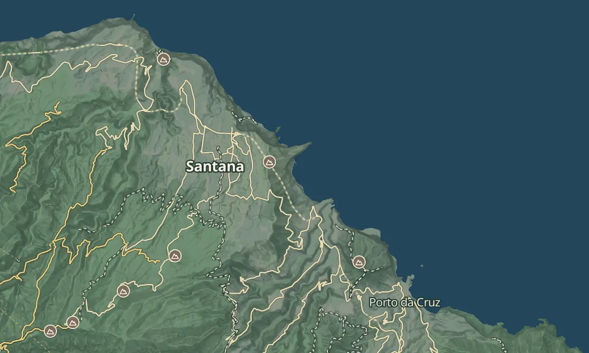
Vereda da Rocha do Navio
Stairs down a cliff to a farmed fajã and a booming shore
- Distance1.1 km · one way
- Time≈ 1 hrEstimated from the route and the 5 m survey
- Climb↑ 310 m
- DifficultyHard
- From Funchal≈ 45 min by carRoughly, by car from the middle of Funchal
- Bus stop 760 m
- Parking 40 m
- Water On site
- Toilets On site
Sources (3)
The place
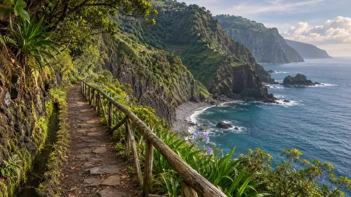
The Rocha do Navio viewpoint sits on the cliff top in Santana, on Madeira's north coast, and a short, steep path drops from it to a farmed fajã beneath the cliffs. The fajã is a flat strip of small plots, simple cabins and an old wine mill set into the rock face, with waterfalls in the backdrop and waves booming on the shore. The walk is out and back, so the hard part is the climb back up to the top.
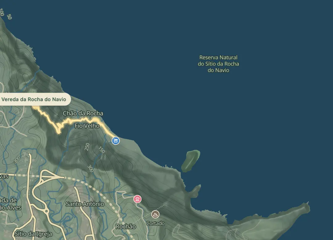
The offshore Ilhéu da Viúva lies within the Rocha do Navio Natural Reserve, an entirely marine area bounded by Ponta do Clérigo and Ponta de São Jorge. The walk is short but steep, so it suits walkers who are comfortable with heights and steps, and parts of the path have been damaged by landslides.
When to come
Pick a dry spell, since heavy rain leaves the landslide-damaged and steep stretches slick.
Getting there
Drive to the viewpoint in Santana and park in the lot near the top station, where the path starts on its left side and drops by stairs and zigzags to the fajã.
Highlights
- The viewpoint beside the top station looks out on waterfalls.
- The fajã below has small farmed plots, simple cabins and an old wine mill set into the cliff.
- The Ilhéu da Viúva islet sits inside the marine reserve, so the sea around it is protected.
- Waves boom on the shore below the cliffs.
The walk, start to finish
Before you go
Safety
Stay off stretches damaged by landslides, and take extra care after heavy rain.
Bring
Wear proper footwear, because the path has stairs, zigzags and sections that can be slick.
The climb back to the top is steep, so carry water and take it at a steady pace.
Worth knowing
The trail is 1.1 km and takes about 50 minutes to walk.
It is an out-and-back walk, so you climb the same stairs and zigzags to return to the top.
Allow an hour or more to explore the fajã, as there is plenty to see below.
The cable car down to Rocha do Navio has been reported closed, so plan to walk back up the way you came.