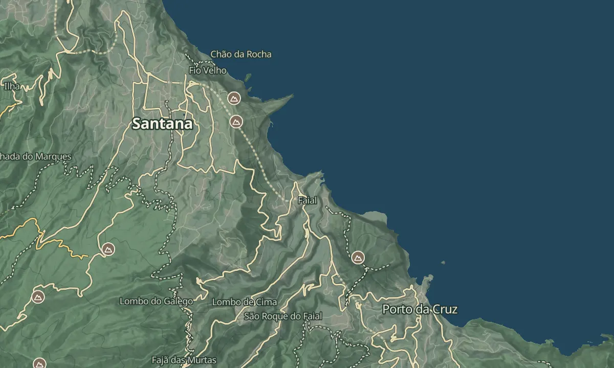
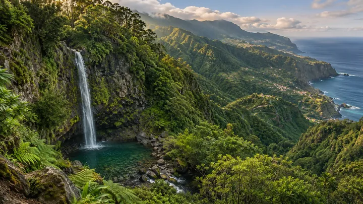
Cascata do Aguage
A swimmable 20 m waterfall near Santana that most drivers have no idea exists.
- Height above the sea440 m
- From Funchal≈ 50 min by carRoughly, by car from the middle of Funchal
- Bus stop140 m
Sources (2)
The place
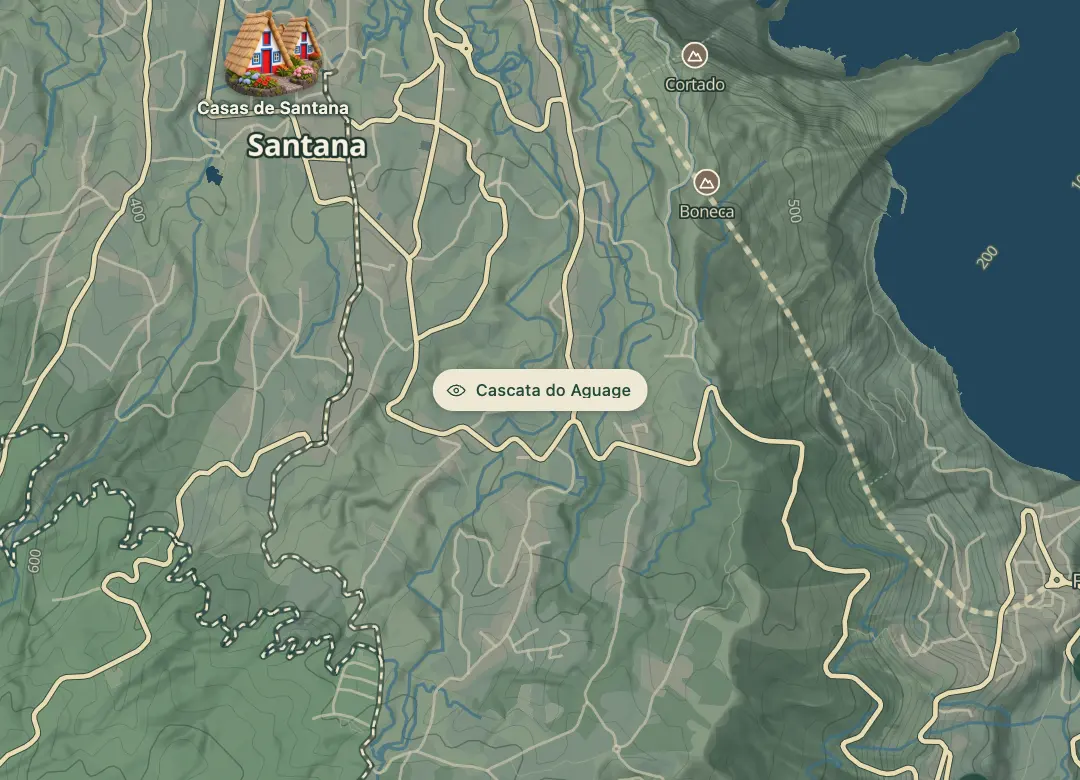
Aguage is a waterfall reached on foot from the edge of central Santana, down a signed staircase and along muddy ground. A staircase leads down to the falls, and at the bottom the right branch leads to the water while the left branch dead-ends. It is not one of the classified PR trails, which is part of its appeal: you may be the only person on it, unlike popular falls such as PR9 Caldeirão Verde and PR6 25 Fontes.
The round trip takes about half an hour including photo time, and the area by the fall is a picnic spot. Check the water on the day before planning a swim. The flow depends on rain: any season works on a bright day, and a wet spell brings more water but makes the path muddier. The climb back up the stairs is the hardest part. The falls are a short detour from the town, so they suit an afternoon walk.
When to come
Any season on a bright day; a wet spell brings more water but also makes the ground muddy.
Getting there
Reach the trailhead on foot from central Santana, where a few homes sit on the edge of town and a sign marks the staircase down. Park on the roadside, where there is room for only a few cars, and do not block a driveway.
Highlights
- A staircase drops from the edge of Santana to the falls, and the right-hand branch at the bottom leads to the water.
- The climb back up the stairs is the hardest part of the walk.
- A sign at the top of the staircase points the way down to the waterfall.
- The area around the falls suits a picnic.
The view from here
Looking N
The horizon all round, measured on the island’s terrain. In sight: Chiqueiros da Queimada (1,364 m · 5 km, SW); Achada do Teixeira (1,592 m · 5.7 km, SW).
Measured on the island’s terrain: what no nearer ridge hides · drag to look round
The light here today
- Sunrise
- —
- Sunset
- —
- Golden hour
- —
The view from here
What you see from here
Peaks, places and islands in sight from this spot, by the way they lie. The islands show on a clear day.
- SWChiqueiros da Queimada1,364 m · 5 km
- SWAchada do Teixeira1,592 m · 5.7 km
Before you go
Bring
Footing: a staircase and muddy ground near the falls, so wear shoes with grip.
Facilities: carry water and take your rubbish home.
Worth knowing
Time: about 30 minutes round trip, including photo time.
Status: not one of the classified PR trails, so no SIMplifica booking is needed.
Parking: roadside space for a few cars only; do not block driveways.
Swimming: check the depth and conditions on the day before you go in.
Flow: depends on recent rain; a dry spell means a thinner fall.