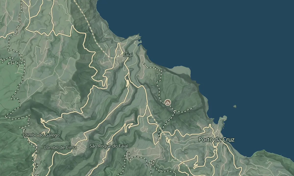
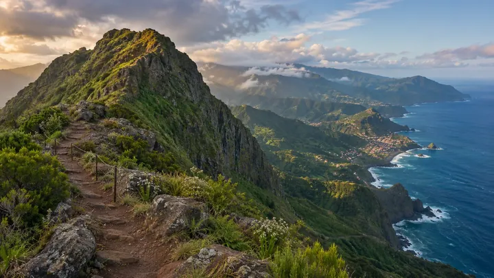
Penha d'Águia
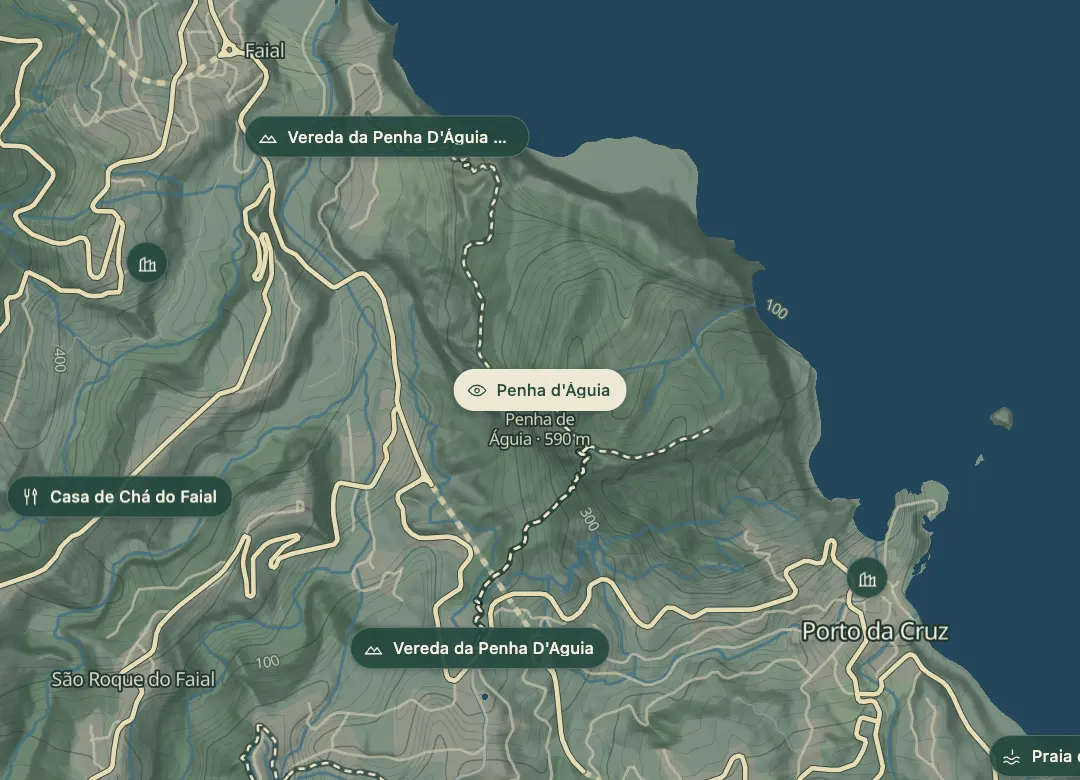
590 m volcanic monolith between Porto da Cruz and Faial; steep summit trail.
- Height above the sea590 m
- From Funchal≈ 35 min by carRoughly, by car from the middle of Funchal
- Bus stop490 m
The place
Penha d'Águia is the green rock that rises between Porto da Cruz and Faial, about 580 to 600 m high. Its summit is reached by a steep dirt track that starts beside Katrepa's Bar in Porto da Cruz, and the view from the top covers the village, the east coast and the Atlantic. The climb is quite challenging, and it suits only hikers with good physical fitness.
The loop is about 8 km through Faial, and it takes about three hours with stops and adds about 686 m of climbing in total. The track is muddy and slippery in places, and the path can be overgrown, so start early and go with experienced hikers. You can also admire the rock from the coast road without climbing it.
When to come
Early morning, so you are not rushing the climb and can see the trail toward Faial in the morning light; avoid the track straight after heavy rain, when it is muddy and slippery.
Getting there
Park on the street near Katrepa's Bar in Porto da Cruz and start beside the bar, then follow the signs up.
Highlights
- From the summit you look over Porto da Cruz and along the east coast as far as São Lourenço.
- The summit view covers the villages, the Madeiran mountain range and the Atlantic.
- The loop comes back through Faial, with a stretch lit by the morning light.
- Three trails meet at the top, and a wooden sign marks the way partway up.
The view from here
Looking W
The horizon all round, measured on the island’s terrain. In sight: Porto Santo (57 km, NE); Roçadas (379 m · 8.7 km, E); Furado (594 m · 6.3 km, SE); Cabeço da Lapa (350 m · 4.6 km, SE); Miradouro da Portela (359 m · 3.8 km, S); Pedreiro (972 m · 3 km, S); Mesa (959 m · 5.6 km, SW); Pico do Arieiro (1,818 m · 9.5 km, SW); Pico das Torres (1,851 m · 9.4 km, W); Chiqueiros da Queimada (1,364 m · 6.4 km, W); Pico Ruivo (1,862 m · 9.8 km, W); Pedras (1,223 m · 6.2 km, W); Redondo (837 m · 4.8 km, W); Faial (295 m · 1.4 km, W).
Measured on the island’s terrain: what no nearer ridge hides · drag to look round
The light here today
- Sunrise
- —
- Sunset
- —
- Golden hour
- —
The view from here
What you see from here
Peaks, places and islands in sight from this spot, by the way they lie. The islands show on a clear day.
- NEPorto Santo57 km
- ERoçadas379 m · 8.7 km
- SEFurado594 m · 6.3 km
- SECabeço da Lapa350 m · 4.6 km
- SMiradouro da Portela359 m · 3.8 km
- SPedreiro972 m · 3 km
- SWMesa959 m · 5.6 km
- SWPico do Arieiro1,818 m · 9.5 km
- WPico das Torres1,851 m · 9.4 km
- WChiqueiros da Queimada1,364 m · 6.4 km
- WPico Ruivo1,862 m · 9.8 km
- WPedras1,223 m · 6.2 km
- WRedondo837 m · 4.8 km
- WFaial295 m · 1.4 km
Before you go
Safety
Safety: keep back from the edge, and take care on the road section, which is a mini highway.
Bring
Footwear: sturdy shoes, as the track has stones, roots and uneven footing.
Worth knowing
Distance and time: about 8 km as a loop, around 3 hours with stops.
Climb: about 400 m to the summit and 686 m of total ascent over the loop.
Difficulty: steep and quite challenging, for hikers with good physical fitness.
Waymarking: the path can be overgrown, so local knowledge helps.