- Height above the sea1,862 m
- Café240 m
- Toilets220 m
The place
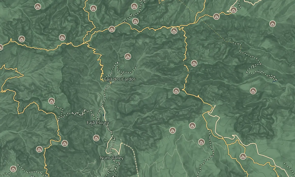
At 1,862 m, Pico Ruivo is the highest point on Madeira, and you have to walk the last part to reach it. The road ends at the Achada do Teixeira car park at about 1,600 m, and a path of 2.8 km climbs roughly 260 m to the summit. That is a fraction of the effort of the ridge walk from Pico do Areeiro, and it still puts you on the top of the island.
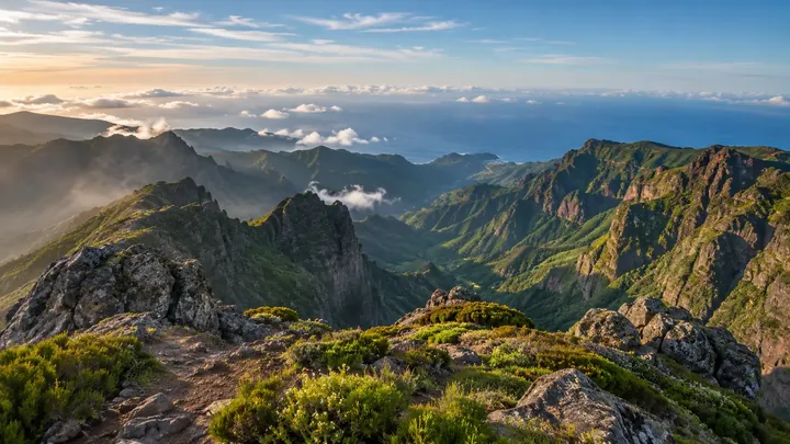
At the summit stands the Casa de Abrigo do Pico Ruivo, a mountain shelter, and on a clear morning the view takes in the central peaks and the valleys below. Cloud can close in within minutes at this height, even when the coast is sunny, so pack for wind and remember the view is never guaranteed. The best reward is early light, when the valleys are often full of cloud beneath you.
When to come
Early morning, for calm air and the cloud inversion over the valleys, before cloud builds over the ridge later in the morning. Late light is better for photographs, but the walk back is on tired legs.
Getting there
Drive to the Achada do Teixeira car park at about 1,600 m, where the paved road ends, then walk the PR1.2 path out and back, 2.8 km each way to the summit.
Highlights
- The summit at 1,862 m, reached on foot along the 2.8 km path from Achada do Teixeira.
- The Casa de Abrigo do Pico Ruivo, a shelter at the top where you can get out of the wind.
- The cloud inversion in the valleys below the summit, which tends to show in the early morning.
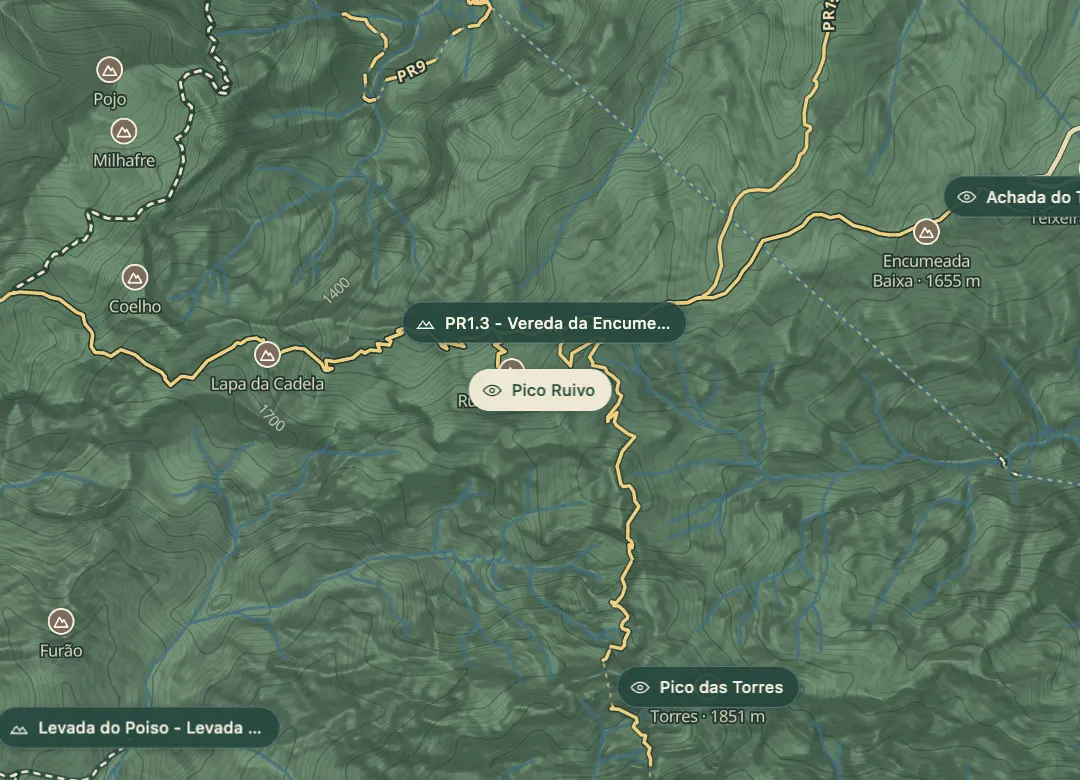
- Junctions with PR1.1 and PR1.3 near the summit, though the PR1.3 route west towards Encumeada is currently restricted.
The view from here
Looking S
The horizon all round, measured on the island’s terrain. In sight: Porto Santo (66 km, NE); Achada do Teixeira (1,592 m · 2.1 km, E); Desertas (49 km, SE); Pico das Torres (1,851 m · 1.2 km, SE); Pico do Arieiro (1,818 m · 2.8 km, SE); Curral Martinho (1,785 m · 3.2 km, S); Cedro (1,759 m · 3.4 km, S); Curral das Freiras (692 m · 5 km, SW); Grande (1,654 m · 4.9 km, SW); Jorge (1,691 m · 4.1 km, W); Bica da Cana (1,580 m · 10.6 km, W); Lapa da Cadela (1,597 m · 1 km, W); Buraco (1,423 m · 4.9 km, W); Canário (1,380 m · 2.3 km, NW).
Measured on the island’s terrain: what no nearer ridge hides · drag to look round
The light here today
- Sunrise
- —
- Sunset
- —
- Golden hour
- —
The view from here
What you see from here
Peaks, places and islands in sight from this spot, by the way they lie. The islands show on a clear day.
- NEPorto Santo66 km
- EAchada do Teixeira1,592 m · 2.1 km
- SEDesertas49 km
- SEPico das Torres1,851 m · 1.2 km
- SEPico do Arieiro1,818 m · 2.8 km
- SCurral Martinho1,785 m · 3.2 km
- SCedro1,759 m · 3.4 km
- SWCurral das Freiras692 m · 5 km
- SWGrande1,654 m · 4.9 km
- WJorge1,691 m · 4.1 km
- WBica da Cana1,580 m · 10.6 km
- WLapa da Cadela1,597 m · 1 km
- WBuraco1,423 m · 4.9 km
- NWCanário1,380 m · 2.3 km
Before you go
Bring
Weather changes fast at this altitude, so take a warm layer and a waterproof even on a sunny coastal day.
Cobbled steps get slick when wet or frosted in winter, so wear boots with grip.
Worth knowing
Rated moderate: allow about 1 h 30 min for the 5.6 km return, plus time at the top. The climb is roughly 260 m from the car park.
SIMplifica booking is required, with a fee of €4.50 per person over 12 in 2026; children 12 and under go free.
Shelters along the route give cover if the weather turns suddenly.
PR1.2 is open, and PR1.3 towards Encumeada is restricted, so check before you plan a longer walk.
The climb of roughly 260 m over 2.8 km on uneven ground is not a wheelchair or pushchair route.