Trails
Vereda da Ilha (PR1.1)
Down 1,274 m from the Pico Ruivo shelter to the village of Ilha
The place
Vereda da Ilha is the official PR1.1, a one-way path from the shelter below Pico Ruivo, at 1,764 m, down to the village of Ilha in the parish of Santana, at 490 m. It is 8.2 km long, and IFCN gives it about three hours. There is no road to the start: most walkers come up on PR1.2 from Achada do Teixeira or on PR1 from Pico do Areeiro, so the descent is the second half of a summit day.
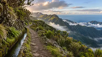
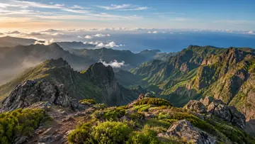
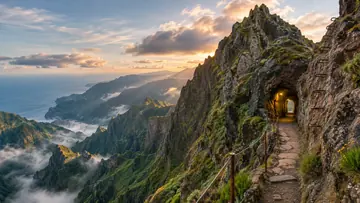
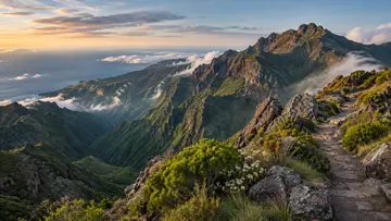
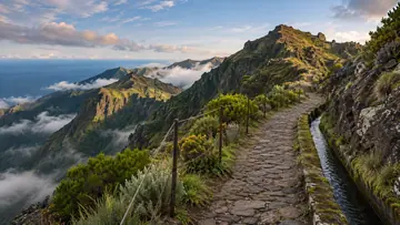
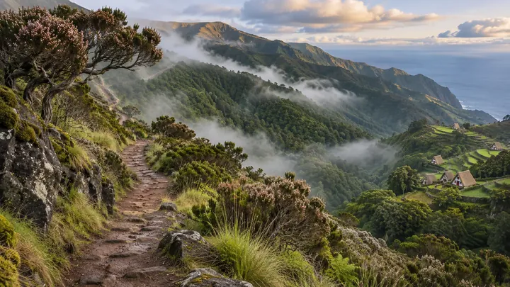
The drop of 1,274 m crosses two habitats of the Natura 2000 network. Above about 1,200 m is the central mountain massif, with grasses, low shrubs and old tree heather that was once cut for charcoal. Below it is the laurissilva, the laurel forest UNESCO listed in 1999, in the belt where fog condenses on the leaves and feeds the springs; Madeira firecrests and chaffinches are common here. Where the path passes over the Vale da Lapa tunnel it crosses the PR9 Levada do Caldeirão Verde, and it ends at Ilha by the terraced fields and thatched houses of Achada do Marques.
Highlights
- A descent of 1,274 m from the island's highest summit to the north-coast village of Ilha.
- Old tree heather in the mountain massif, then laurissilva in the fog belt below 1,200 m.
- The crossing with the PR9 Levada do Caldeirão Verde above the Vale da Lapa tunnel.
- Achada do Marques at the end, with its terraced fields and thatched houses.
When to come
Clear, settled weather, starting early from Pico Ruivo while the summit is still in sun; the weather up there changes quickly, and the forest stretch stays damp and slippery after rain.
Getting there
There is no road to the start: walk up to the Pico Ruivo shelter on PR1.2 from Achada do Teixeira, 2.8 km, or on PR1 from Pico do Areeiro. The path ends in Ilha, so leave a car there or book a taxi from Santana, +351 291 572 540, for the way back.
Worth knowing
- Booking and fee: pay through SIMplifica; €4.50 in 2026 for visitors over 12, with children 12 and under exempt.
- Distance and time: 8.2 km one way, about 3 hours, almost all of it downhill.
- Heights: from 1,764 m at the shelter to 490 m at Ilha.
- Difficulty: moderate; the long descent is hard on the knees.
- Caution: IFCN warns that the weather changes often and the path can be slippery, so bring warm clothes and shoes with grip.
- Status: open on the IFCN list on 3 November 2026; check IFCN or SIMplifica before you go.