PR1.3 - Vereda da Encumeada
An 11km ridge walk toward Encumeada — currently a there-and-back, not a through-hike.
Ends at the start of the walk
- Distance11.2 km · one way
- Time6 hr
- Climb↑ 1,180 m
- DifficultyModerate
- CaféOn site
- Toilets On site
Sources (2)
The place
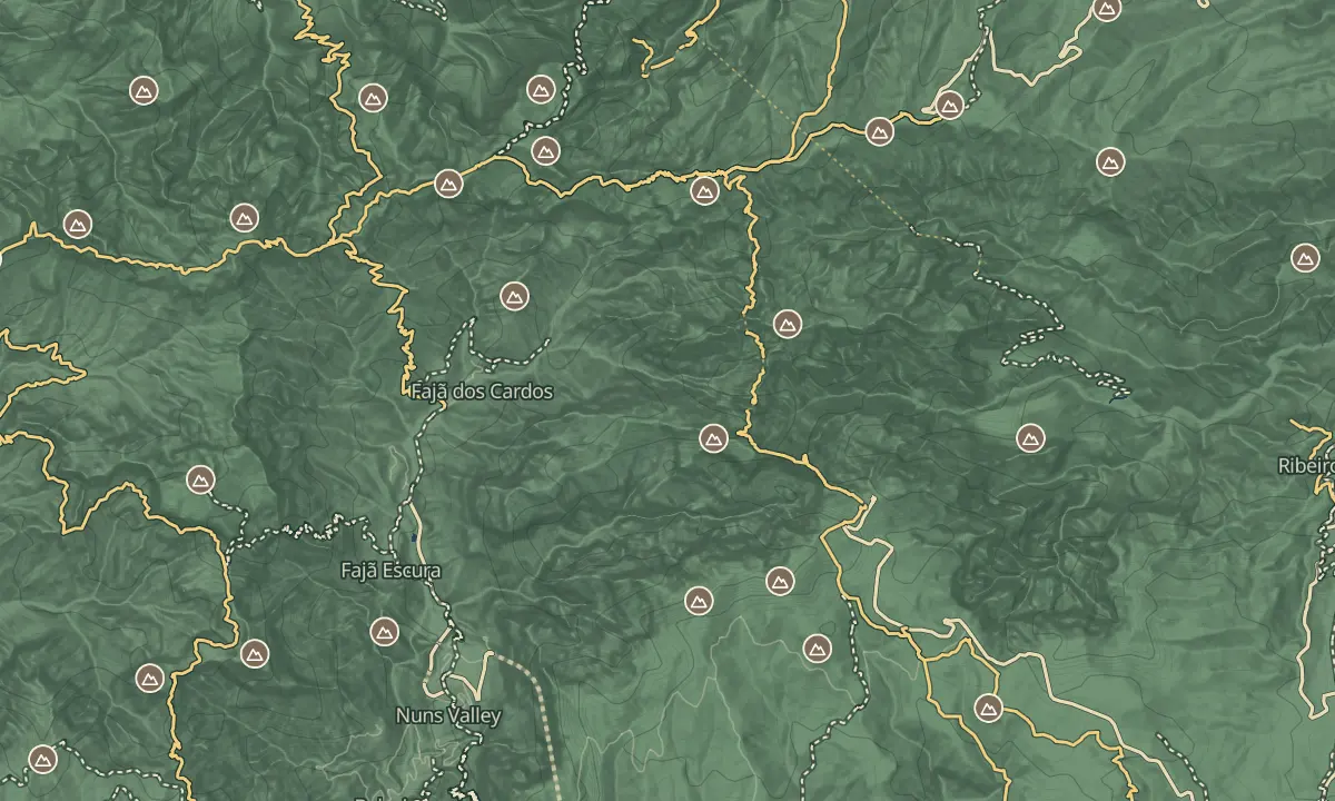
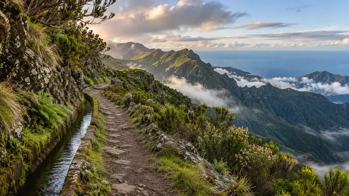
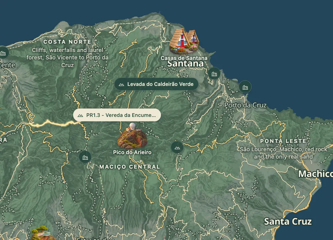
PR1.3, the Vereda da Encumeada, drops west off Pico Ruivo through laurisilva forest and volcanic rock, on a route designed to link the summit with Boca da Encumeada. The route is 11.2 km and rated moderate, and it is a one-way, point-to-point walk that starts at the Casa de Abrigo do Pico Ruivo. Afternoon cloud can settle on the ridge, which makes the drop-offs harder to read.
The final part of the route, from Boca das Torrinhas to Encumeada, is closed, and the trail partly reopened in June 2026. The usual plan is to walk out from the mountain hut towards Boca das Torrinhas and turn back, which is still a long ridge walk. The hut sits close to the Pico Ruivo summit, so the two can be combined in one day. Check the current section on SIMplifica before you set off.
When to come
Clear mornings, since this is a long ridge walk and afternoon cloud makes the way harder to read. Plan a full day, since the walk takes five to six hours.
Getting there
On foot from the Casa de Abrigo do Pico Ruivo, the mountain hut at the top of PR1, which you reach on the PR1.2 path from Achada do Teixeira or the PR1 ridge from Pico do Areeiro; the walk runs west towards Boca das Torrinhas.
Highlights
- The laurisilva forest and volcanic rock along the first stretch, dropping west off Pico Ruivo.
- The Casa de Abrigo do Pico Ruivo, the mountain hut where the route starts and close to the summit.
- The alternative from Boca das Torrinhas: PR2 Vereda do Urzal, which is open and runs towards Curral das Freiras or Boaventura.
The walk, start to finish
Before you go
Safety
Today: Closed
Bring
Carry water, a warm layer and a waterproof, since the route reaches about 1,760 m and cloud can build in the afternoon.
Worth knowing
Distance is 11.2 km one way, rated moderate, and the walk takes five to six hours.
The final part from Boca das Torrinhas to Encumeada is closed and the trail is restricted, so check the current section on SIMplifica before you set off.
SIMplifica booking is required, with a fee of €4.50 per visitor over 12 in 2026; children 12 and under go free.
The route runs between 1,009 m and 1,764 m, so expect climbs and descents along the ridge.
Walk only as far as you can comfortably turn back from.
The hut sits close to the Pico Ruivo summit, so the two can be combined in one day.