Pico das Torres
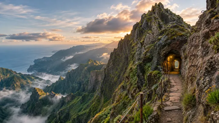
The knife-edge middle peak of PR1 — a lit tunnel, iron rungs, exposed rock.
- Height above the sea1,851 m
The place
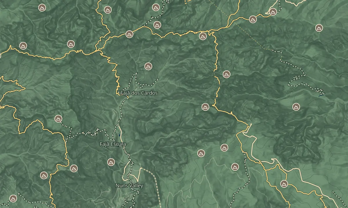
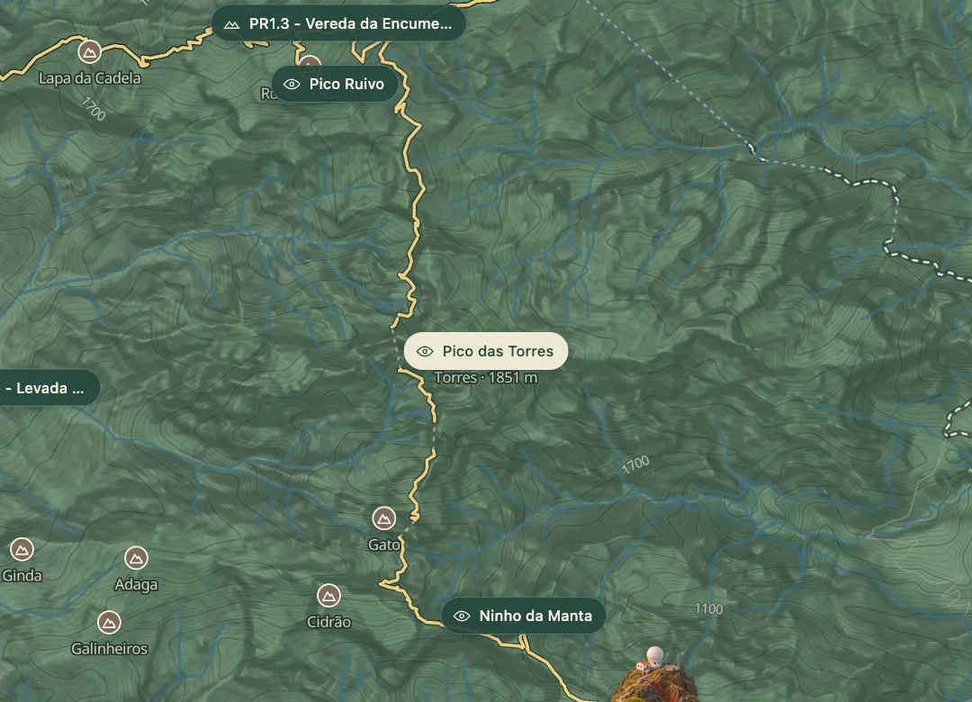
Pico das Torres is Madeira's second-highest peak, at about 1,850 m, and it has no road or path of its own. You can reach it only along the PR1 trail between Pico do Areeiro and Pico Ruivo, roughly halfway between the two, where the ridge narrows around the rock. Some walkers bypass the summit on a steep stairway cut into the rock, and the peak is simply part of the crossing.
The section is rough and exposed, with old tunnels, rock steps and drops on the sides of the ridge, and the crossing runs one way from Pico do Areeiro towards Pico Ruivo since the 2026 reopening. Treat it as part of the PR1 walk rather than a separate outing, because there is no other way to see the peak. Bring a headlamp for the tunnels, and do not attempt it with a fear of heights.
When to come
A clear morning, since the peak comes roughly halfway through the one-way PR1 walk from Pico do Areeiro, which needs a first-light start. Cloud and wind tend to build later in the day, so you want to be past the exposed stretch before then.
Getting there
On foot only: take PR1 from the Pico do Areeiro car park with a SIMplifica slot booked, and the peak comes roughly halfway along the one-way route to Pico Ruivo.
Highlights
- A peak with no road or separate path, reached only on foot along the PR1 ridge.
- Rock steps and old tunnels on the approach, where a headlamp is needed.
- A stepped path around the peak, with handrails on some sections.
- The halfway point of the one-way crossing between Pico do Areeiro and Pico Ruivo.
The view from here
Looking NW
The horizon all round, measured on the island’s terrain. In sight: Porto Santo (66 km, NE); Desertas (48 km, SE); Pico do Arieiro (1,818 m · 1.6 km, S); Curral Martinho (1,785 m · 2.1 km, S); Cedro (1,759 m · 2.4 km, S); Eira do Serrado (1,050 m · 5.1 km, SW); Boca da Corrida (1,375 m · 6.4 km, SW); Grande (1,654 m · 5.1 km, W); Bica da Cana (1,580 m · 11.3 km, W); Ferreiro (1,582 m · 6 km, W); Casado (1,728 m · 4.6 km, W); Eirinhas (1,535 m · 3.1 km, NW); Lapa da Cadela (1,597 m · 1.9 km, NW); Pico Ruivo (1,862 m · 1.3 km, NW).
Measured on the island’s terrain: what no nearer ridge hides · drag to look round
The light here today
- Sunrise
- —
- Sunset
- —
- Golden hour
- —
The view from here
What you see from here
Peaks, places and islands in sight from this spot, by the way they lie. The islands show on a clear day.
- NEPorto Santo66 km
- SEDesertas48 km
- SPico do Arieiro1,818 m · 1.6 km
- SCurral Martinho1,785 m · 2.1 km
- SCedro1,759 m · 2.4 km
- SWEira do Serrado1,050 m · 5.1 km
- SWBoca da Corrida1,375 m · 6.4 km
- WGrande1,654 m · 5.1 km
- WBica da Cana1,580 m · 11.3 km
- WFerreiro1,582 m · 6 km
- WCasado1,728 m · 4.6 km
- NWEirinhas1,535 m · 3.1 km
- NWLapa da Cadela1,597 m · 1.9 km
- NWPico Ruivo1,862 m · 1.3 km
Before you go
Safety
PR1 needs a headlamp for its tunnels, and its exposure is rated high, 5 out of 5, so the peak is no place for vertigo.
Rockfall can close parts of the route at short notice, so check the IFCN status before you travel.
Keep to the marked path and any handrails, and do not stop on the exposed rock.
Worth knowing
There is no separate access: the peak is reached only along PR1, so it costs the same €10.50 per person in 2026 (€7 through a protocol operator) as the full walk.
Each SIMplifica permit covers one person, one trail and one day, with a timed 30-minute entry slot.