Eira do Serrado
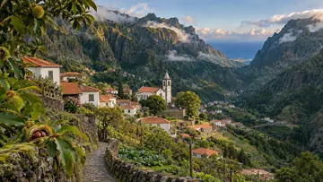
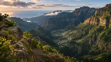
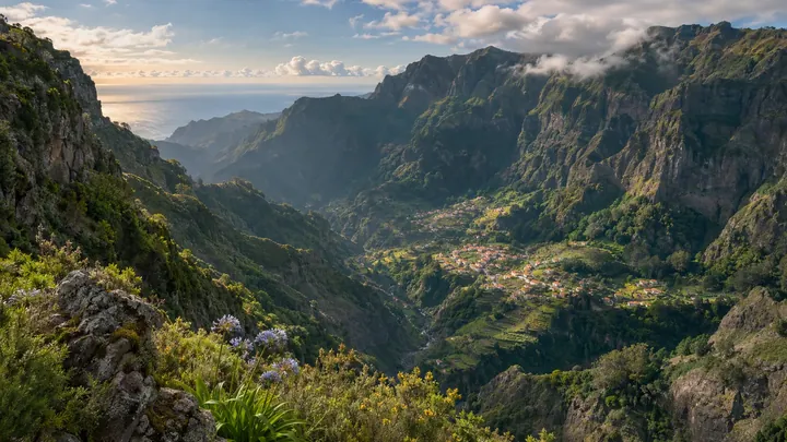
The postcard drop into Curral das Freiras' crater valley, steps from the car park.
- 1050 m above the sea
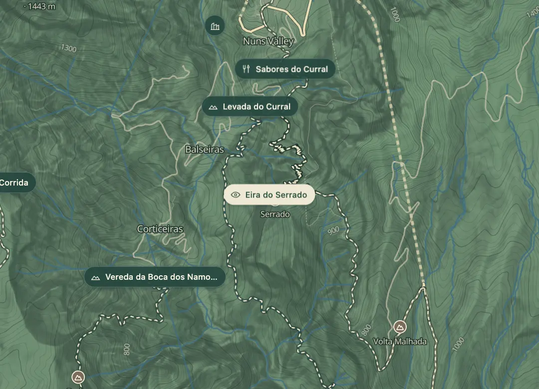 Open on the island map
The view from here
Looking S
The horizon all round, measured on the island’s terrain. In sight: Furão (1,037 m · 4.5 km, N); Pico das Torres (1,851 m · 5.1 km, NE); Cedro (1,759 m · 2.9 km, NE); Cruz (260 m · 7.9 km, S); Cardo (430 m · 5.1 km, S); Bodes (1,158 m · 1.9 km, SW); Boca da Corrida (1,375 m · 2 km, W); Cavalo (1,349 m · 2.8 km, NW); Jorge (1,691 m · 5.2 km, N); Meio (702 m · 1.8 km, N).
Measured on the island’s terrain: what no nearer ridge hides · drag to look round
At a glance
32.7105, -16.9656Open on the island map
The light here today
- Sunrise
- —
- Sunset
- —
- Golden hour
- —
The view from here
What you see from here
Peaks, places and islands in sight from this spot, by the way they lie. The islands show on a clear day.
- NFurão1,037 m · 4.5 km
- NEPico das Torres1,851 m · 5.1 km
- NECedro1,759 m · 2.9 km
- SCruz260 m · 7.9 km
- SCardo430 m · 5.1 km
- SWBodes1,158 m · 1.9 km
- WBoca da Corrida1,375 m · 2 km
- NWCavalo1,349 m · 2.8 km
- NJorge1,691 m · 5.2 km
- NMeio702 m · 1.8 km
The place
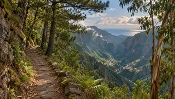
Eira do Serrado is the viewpoint over Curral das Freiras, the bowl-shaped crater valley that holds the village, and it is one of the views that appears on many postcards of Madeira. The valley floor is flat, and the village sits on it with the walls rising steeply on every side. A footpath beside the Estalagem da Eira do Serrado, the roadside inn, leads to the viewpoint, which looks straight down into the valley. The viewpoint sits at 1,095 m.
Because the walk is so short, the viewpoint fills with tour buses from mid-morning, and the wind can be noticeably cooler than Funchal despite the short drive up. Go early, before the coaches arrive, and treat the view as the reason to come, then drive down the road into the valley itself.
Highlights
- A clear, uninterrupted view across Curral das Freiras, the village on the valley floor.
- The Estalagem da Eira do Serrado, the roadside inn where the footpath starts.
- The road down into the valley to the village itself.
Plan your visit
Good to know
When to come, how to get there and what to know first.
When to come
Early morning, before the coach groups arrive and the valley fills with haze. Late morning brings tour buses, and the wind can pick up at the top.
Getting there
Drive up to the car park beside the Estalagem da Eira do Serrado, then follow the short footpath to the viewpoint.
Worth knowing
Facts checked November 1, 2026
The footpath from the inn is short, over cobbles and uneven ground with a few steps.
Tour buses arrive from mid-morning, so the car park and viewpoint fill up; come early.
The wind can be strong and the air is noticeably cooler than Funchal, so bring a warm layer.
Plan for water and toilets before you walk.
The forest road between Eira do Serrado and Miradouro do Paredão was closed for maintenance in September 2025; check whether it is open before you drive it.
The road down to Curral das Freiras is narrow, so go slowly.
Beyond the walks
What else is there to do?
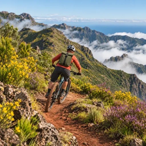 Mountain bikingTrilho Bucho · 1.7 km
 Trail runningChão dos Louros · 2 km
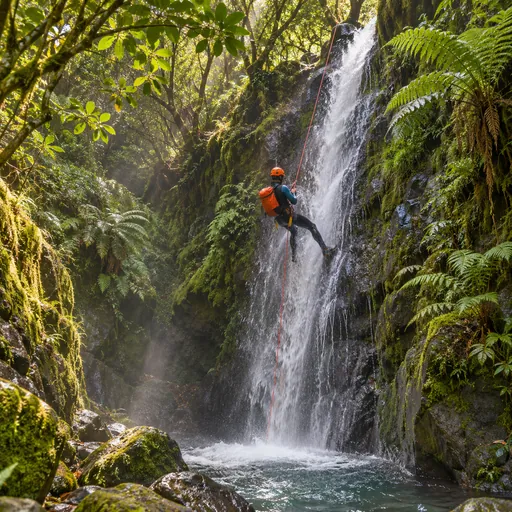 CanyoningRibeira do Cidrão · 2.3 km
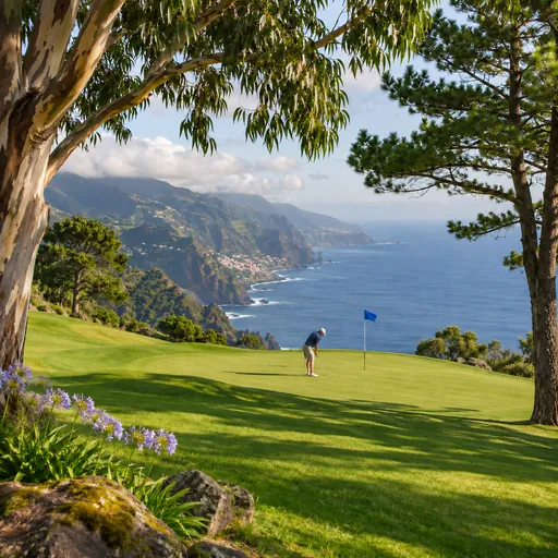 GolfPalheiro Golf · 6.3 km
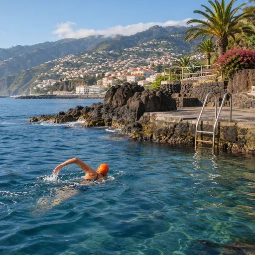 Open-water swimmingFajã do Cabo Girão · 6.9 km
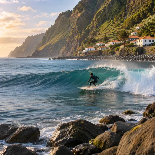 SurfingFajã do Cabo Girão / Rancho · 7 km
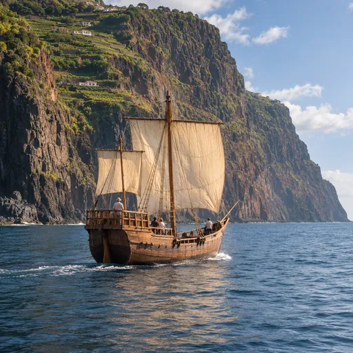 Boat tripsFunchal · 8.7 km
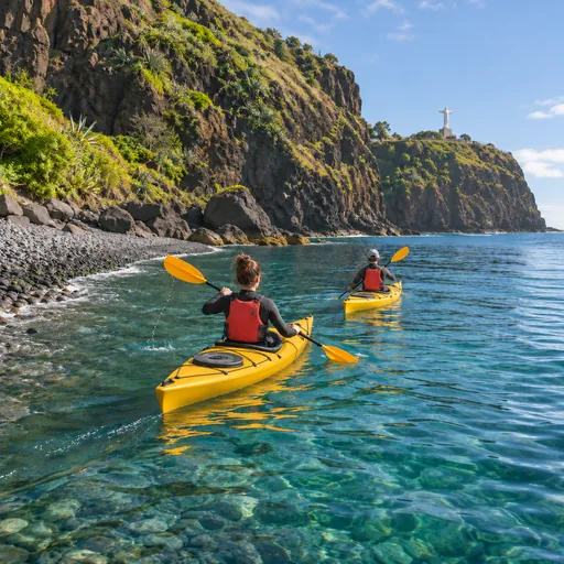 Sea kayakingFunchal · 8.7 km
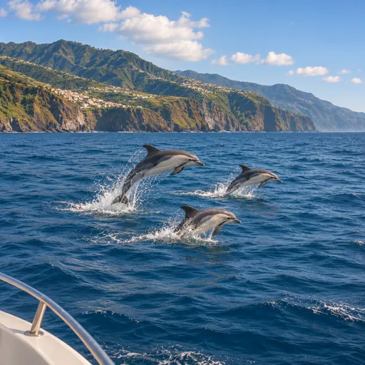 Whale and dolphin watchingFunchal · 8.8 km
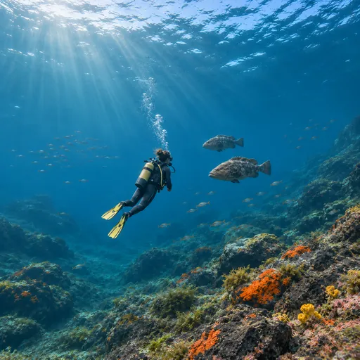 Scuba divingReserva Marinha do Garajau · 13.2 km