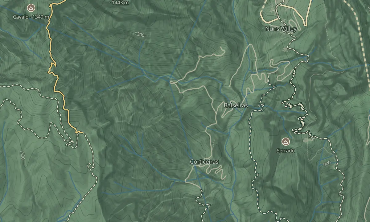
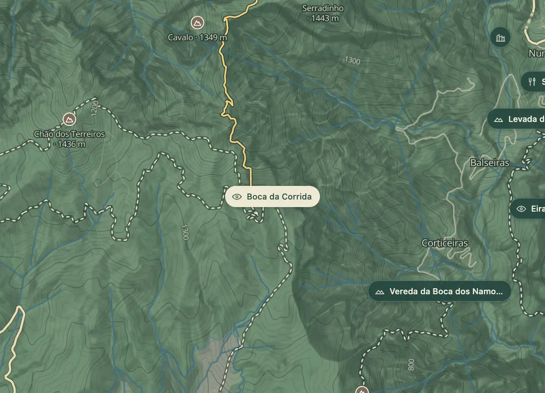
Boca da Corrida
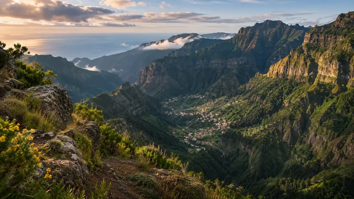
A quiet balcony over Curral das Freiras' valley, without the Eira do Serrado crowds.
- Height above the sea1,219 m
- From Funchal≈ 30 min by carRoughly, by car from the middle of Funchal
- ParkingOn site
- Bus stop1 km
Sources (2)
The place
Boca da Corrida is a viewpoint above the Curral das Freiras valley, reached by a narrow, winding road up from Estreito de Câmara de Lobos. The road ends at the viewpoint. It looks into the same crater as Eira do Serrado, but from the other side, and the viewpoint stands above 1,000 m, so the air is cooler than on the coast even on a sunny day.
The historic Caminho Real da Encumeada, marked PR12, starts beside the viewpoint and runs towards Pico Grande. The route is restricted in places, and vehicle access is limited to about 3.5 km from the viewpoint. Bring a windproof layer, since the viewpoint is high and open. Go in the late afternoon, when low light rakes across the valley walls, and keep your walk to a stretch you can turn back from.
When to come
Late afternoon, when low light rakes across the valley walls. Plan the drive back in daylight.
Getting there
From Funchal, take the ER 101 west, leave at the Estreito de Câmara de Lobos exit and climb past Achada to the end of the road at Boca da Corrida.
Highlights
- The view down into the Curral das Freiras valley, the same crater seen from Eira do Serrado.
- The start of the historic Caminho Real da Encumeada, marked PR12.
- Low afternoon light across the valley walls, when the view is at its best.
The view from here
Looking E
The horizon all round, measured on the island’s terrain. In sight: Serradinho (1,443 m · 1.5 km, N); Pico Ruivo (1,862 m · 6.7 km, NE); Pico das Torres (1,851 m · 6.4 km, NE); Pico do Arieiro (1,818 m · 6.1 km, NE); Curral Martinho (1,785 m · 5.2 km, E); Eira do Serrado (1,050 m · 2 km, E); Prado (1,280 m · 4.6 km, E); Infante (944 m · 11.2 km, E); Desertas (50 km, SE); Cabeço da Cancela (508 m · 13.4 km, SE); Funchal (47 m · 10.1 km, SE); Museu CR7 (65 m · 10.1 km, SE); Bodes (1,158 m · 1.5 km, SE); Grande (1,654 m · 2.9 km, N).
Measured on the island’s terrain: what no nearer ridge hides · drag to look round
The light here today
- Sunrise
- —
- Sunset
- —
- Golden hour
- —
The view from here
What you see from here
Peaks, places and islands in sight from this spot, by the way they lie. The islands show on a clear day.
- NSerradinho1,443 m · 1.5 km
- NEPico Ruivo1,862 m · 6.7 km
- NEPico das Torres1,851 m · 6.4 km
- NEPico do Arieiro1,818 m · 6.1 km
- ECurral Martinho1,785 m · 5.2 km
- EEira do Serrado1,050 m · 2 km
- EPrado1,280 m · 4.6 km
- EInfante944 m · 11.2 km
- SEDesertas50 km
- SECabeço da Cancela508 m · 13.4 km
- SEFunchal47 m · 10.1 km
- SEMuseu CR765 m · 10.1 km
- SEBodes1,158 m · 1.5 km
- NGrande1,654 m · 2.9 km
Before you go
Bring
Bring water and warm clothing for the viewpoint.
Worth knowing
The access road is narrow and winding, so go slowly, especially on the climb.
Check the PR12 status before you set out, since parts of it are restricted.
PR12 is about 12.5 km at medium difficulty, and walkers can book on SIMplifica with a €4.50 fee for visitors over 12 in 2026.
Walk only as far as you can comfortably turn back from.