- Height above the sea1,818 m
- From Funchal≈ 40 min by carRoughly, by car from the middle of Funchal
- Parking100 m
- Café90 m
- Toilets90 m
The place
At 1,818 m, Pico do Arieiro is the third-highest point on Madeira and the highest summit you can drive to. The road ends at a car park on the summit, which is also where the PR1 ridge walk begins, so the viewpoint sits on the spine of the island rather than above a town. It is noticeably colder and windier than Funchal, and what you see depends entirely on the cloud.
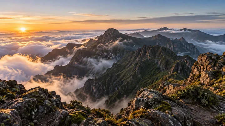
On a morning when the cloud lies below the summit, the peaks stand out of a flat white sea, and that is the view people come for. On clear mornings you can follow the central ridges in both directions. The car park fills before dawn, so you share the viewpoint with tour groups and walkers who came for the same light, and the cold is the price of seeing it.
When to come
Arrive about an hour before sunrise, while parking is still open and the sky is only starting to lighten. Cloud usually builds from mid-morning, and by noon the view can be a white wall.
Getting there
By car, drive up the ER 202 from Funchal, about 35 to 45 minutes, and park at the summit, where the car park fills before dawn. Without a car, a sunrise tour from Funchal is the simplest way up.
Highlights
- Sunrise over the cloud layer from the summit viewpoint, when the sky allows it.
- A café at the summit, useful for a hot drink once the early crowd thins.
- Ninho da Manta, a clifftop viewpoint a short walk along the PR1 path from the car park.
- The start of the PR1 ridge walk, for anyone with a booked slot and the fitness for it.
The view from here
Looking NW
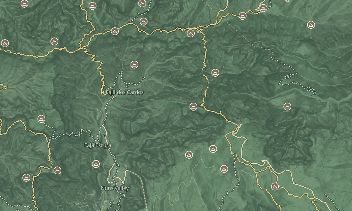
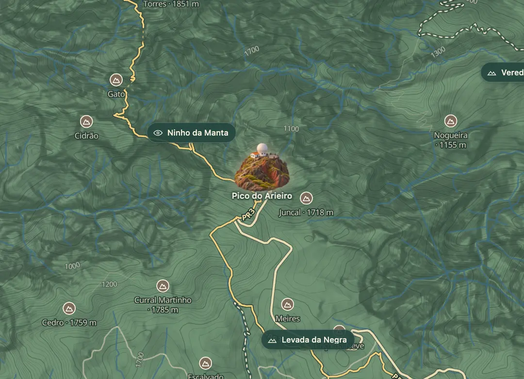
The horizon all round, measured on the island’s terrain. In sight: Porto Santo (66 km, NE); Nogueira (1,155 m · 1.5 km, E); Curral Martinho (1,785 m · 1 km, SW); Cedro (1,759 m · 1.6 km, SW); Curral das Freiras (692 m · 4.3 km, SW); Serradinho (1,443 m · 5.3 km, W); Grande (1,654 m · 5.6 km, W); Bica da Cana (1,580 m · 12.1 km, W); Ruivo do Paul (1,640 m · 14.9 km, W); Jorge (1,691 m · 5.7 km, W); Casado (1,728 m · 5.7 km, NW); Ninho da Manta (1,536 m · 0.7 km, NW); Pico Ruivo (1,862 m · 2.9 km, NW); Pico das Torres (1,851 m · 1.6 km, NW).
Measured on the island’s terrain: what no nearer ridge hides · drag to look round
The light here today
- Sunrise
- —
- Sunset
- —
- Golden hour
- —
The view from here
What you see from here
Peaks, places and islands in sight from this spot, by the way they lie. The islands show on a clear day.
- NEPorto Santo66 km
- ENogueira1,155 m · 1.5 km
- SWCurral Martinho1,785 m · 1 km
- SWCedro1,759 m · 1.6 km
- SWCurral das Freiras692 m · 4.3 km
- WSerradinho1,443 m · 5.3 km
- WGrande1,654 m · 5.6 km
- WBica da Cana1,580 m · 12.1 km
- WRuivo do Paul1,640 m · 14.9 km
- WJorge1,691 m · 5.7 km
- NWCasado1,728 m · 5.7 km
- NWNinho da Manta1,536 m · 0.7 km
- NWPico Ruivo1,862 m · 2.9 km
- NWPico das Torres1,851 m · 1.6 km
Before you go
Safety
The ER 202 can close in ice or storms, so check conditions before you drive up.
Bring
Bring a real jacket and something warm to drink: the summit is windy and colder than Funchal.
Bring water and a snack for the early hours.
Worth knowing
Allow 35 to 45 minutes' drive from Funchal; the last stretch is narrow and steep with sharp bends, so go slowly in the dark.
The viewpoint is free to visit; check the signs at the car park for the current parking charge.
When the upper car park is full, the access road can be closed to more cars, so arrive well before sunrise.
Walking the PR1 ridge from here needs a SIMplifica booking, €10.50 per person in 2026 (€7 through a protocol operator); the viewpoint itself does not.