Trails
Vereda do Burro (PR3)
Almost all downhill from Pico do Areeiro to Funchal's Ecological Park
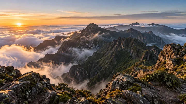
The place
Vereda do Burro is the official PR3, a one-way path of 7.2 km from Pico do Areeiro to the reception centre of the Funchal Ecological Park at Ribeira das Cales; Funchal's municipal council runs it. It takes about 2 hours 40 minutes. The start lies at 1,805 m, just below the 1,818 m summit, and the lowest point is 1,130 m; in all the path descends 745 m and climbs only 70 m.
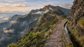
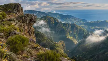
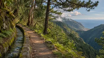
Early on the views open over the Ribeira do Cidrão valley and, further off, the western massif and the Paul da Serra plateau. About 1.7 km from the start stands the Poço da Neve, built in 1813 to store the snow and sleet that sometimes fall on the mountains above Funchal; its ice served hospitals, hotels and ice-cream makers until ice machines reached Madeira in the first half of the 20th century. Near the head of the Ribeira das Cales the rare Madeira mountain ash grows among heaths, Madeira blueberry, holly and laurel, and Berthelot's pipits and Madeira firecrests are often seen. The path then follows the stream past small waterfalls and pools.
Highlights
- The path starts at 1,805 m on Pico do Areeiro, with wide views over the Ribeira do Cidrão valley towards the Paul da Serra.
- About 1.7 km in, it passes the Poço da Neve, an ice house built in 1813 whose ice served hospitals, hotels and ice-cream makers.
- The rare Madeira mountain ash grows near the head of the Ribeira das Cales, where Berthelot's pipits and Madeira firecrests are often seen.
- Lower down, the path keeps first to the left bank of the Ribeira das Cales and then to the right, past small waterfalls and pools.
When to come
A clear, dry day. Fog can settle and make the upper part hard to follow, and in rainy weather the streams of the Ribeira das Cales can run too high to cross.
Getting there
Start at Pico do Areeiro, reached by the ER 202, where the panel map shows parking, a café, toilets and a viewpoint. The route ends at the reception centre of the Funchal Ecological Park at Ribeira das Cales, which has parking and toilets: arrange a pick-up there, or carry on down to Monte on the PR3.1 Caminho Real do Monte, which starts at the same point.
Worth knowing
- Distance and time: 7.2 km one way, about 2 hours 40 minutes, with 745 m of descent and 70 m of climbing in all.
- Heights: between 1,130 m and 1,805 m.
- Difficulty: easy, with almost no climbing.
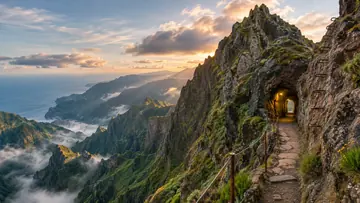
- Caution: the ground is uneven in several places, above all on the first stretch from Pico do Areeiro down into the Ribeira das Cales valley.
- Caution: in rainy weather the stream crossings get difficult; never cross a stream that is running high, but leave the route another way.
- Caution: fog can settle, and higher up it can make the path hard to follow.
- Status: open on the IFCN list on 4 November 2026; check IFCN before you go.