- Distance6.1 km · one way
- Time3 hr
- Climb↑ 1,000 m
- DifficultyModerate
- From Funchal≈ 40 min by carRoughly, by car from the middle of Funchal
- Tunnel: bring a torch
- Parking On site
- Café 40 m
- Toilets 40 m
The place
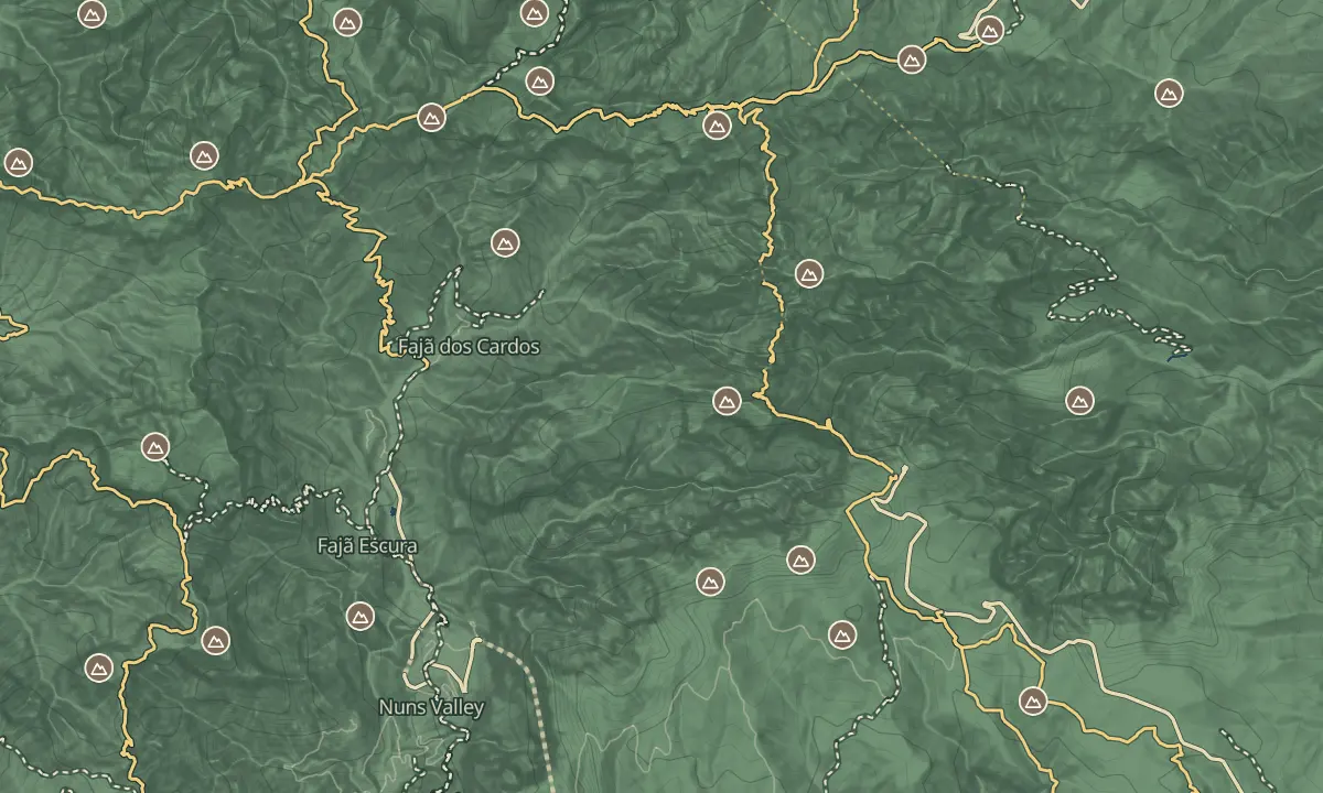
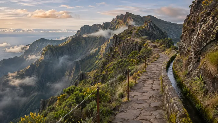
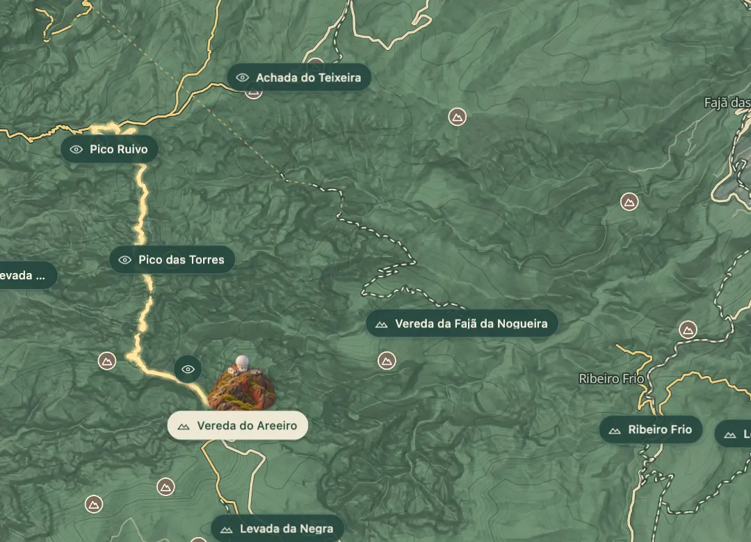
Vereda do Areeiro, or PR1, runs along the spine of the island from Pico do Areeiro to Pico Ruivo. Cut steps, staircases fixed to the cliffs and several unlit tunnels carry the path across an exposed ridge with long drops on both sides. It is about 7 km with around 1,000 m of ascent, and it is the best-known walk on Madeira.
The route closed after the August 2024 wildfire and reopened in April 2026 after a 20-month rebuild, with its safety cables reinstalled. It is strictly one way now, from Pico do Areeiro to Pico Ruivo, and entry is by timed SIMplifica slot, so you cannot simply turn up. Go for the ridge and the cloud below you, and only if you are comfortable with exposure.
When to come
Start at first light. The walk takes 3 to 4 hours one way, and the exposed sections get windy by midday, so you want to be past the most exposed stretch before the wind builds.
Getting there
On foot from the Pico do Areeiro car park, where the trail starts at the summit. The trail finishes at Pico Ruivo, and the route can continue to Achada do Teixeira, so arrange transport back before you set off.
Highlights
- Cut steps and staircases fixed to the cliffs, with drops of more than 500 metres in the most exposed section.
- Several unlit tunnels, where a headlamp is essential.
- Pico das Torres, the knife-edge middle section, where safety cables run along the exposed rock.
- The first stretch from Pico do Areeiro to Pedra Rija, which can still be walked in both directions.
The walk, start to finish
Before you go
Safety
Not for anyone with a fear of heights: the path is 60 to 70 cm wide in places, and the most exposed section has drops of more than 500 m on both sides.
The IFCN closes the trail in strong wind and rockfall, most often from November to February; check its status before you set out.
Bring
Bring a headlamp for the tunnels, a windproof layer for the ridge, and boots with grip, because the rock is wet in places.
Worth knowing
Rated hard: about 7 km with 1,000 m of ascent, one way. Allow 3 to 4 hours, plus time for the tunnels and photos.
Book a timed 30-minute entry slot on SIMplifica: €10.50 per person in 2026, or €7 through a protocol operator. A permit covers one person, one trail and one day, and multi-day passes do not cover it.
Residents of Madeira and children under 12 do not pay the fee, but everyone needs a booking.
Walk-up access is not possible, and capacity is capped; the IFCN added 140 daily places in June 2026.
Transport back is your job: the route is one way, so arrange a taxi or tour return from Pico Ruivo or Achada do Teixeira.