Bica da Cana
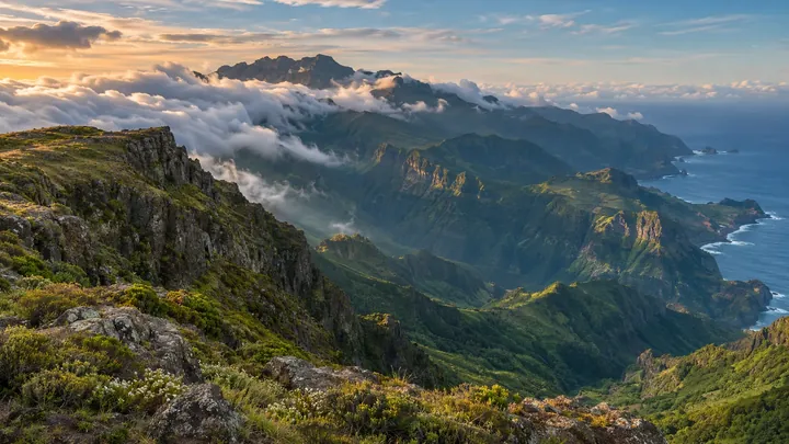
The east edge of Paul da Serra, where cloud seas break against Pico Ruivo's silhouette.
- Height above the sea1,580 m
- From Funchal≈ 1 hr, 10 min by carRoughly, by car from the middle of Funchal
Sources (2)
The place
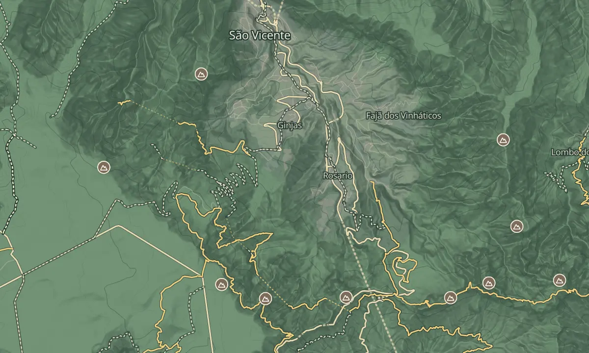
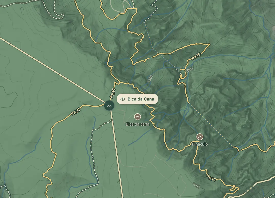
Bica da Cana is a viewpoint at about 1,580 m on the edge of the Paul da Serra plateau, in Canhas parish. Looking out from the edge of the high ground, you see the São Vicente valley below, with its laurisilva greenery prominent, and the wide open plateau behind you. The main subject is the green valley rather than the peaks.
The viewpoint sits near a renovated leisure area with picnic facilities, which makes it an easy place to linger. A sunrise cloud layer is one of its scenic features, so early light can be the best time. It is a scenic stop rather than the start of a trail. Weather on the plateau can change quickly, so bring a warm layer even on a clear day.
When to come
Sunrise, when the cloud layer in the valleys below is one of the scenic features of the view. Clouds can roll over the plateau quickly, so go early while the view is clear.
Getting there
Drive to the Bica da Cana viewpoint in Canhas parish on the Paul da Serra plateau, and check the route on a map before you set off.
Highlights
- The São Vicente valley below, with laurisilva greenery prominent in the view.
- A renovated leisure area with picnic facilities close to the viewpoint.
- The edge of the Paul da Serra plateau, the island's only plateau.
The view from here
Looking E
The horizon all round, measured on the island’s terrain. In sight: Porto Santo (75 km, NE); Buraco (1,423 m · 5.9 km, E); Pico Ruivo (1,862 m · 10.5 km, E); Ferreiro (1,582 m · 5.3 km, E); Pico das Torres (1,851 m · 11.3 km, E); Pico do Arieiro (1,818 m · 12.1 km, E); Cedro (1,759 m · 11 km, E); Grande (1,654 m · 6.7 km, E); Serradinho (1,443 m · 7.8 km, SE); Cavalo (1,349 m · 7.1 km, SE); Chão dos Terreiros (1,436 m · 6.8 km, SE); Espigão (963 m · 3.9 km, N).
Measured on the island’s terrain: what no nearer ridge hides · drag to look round
The light here today
- Sunrise
- —
- Sunset
- —
- Golden hour
- —
The view from here
What you see from here
Peaks, places and islands in sight from this spot, by the way they lie. The islands show on a clear day.
- NEPorto Santo75 km
- EBuraco1,423 m · 5.9 km
- EPico Ruivo1,862 m · 10.5 km
- EFerreiro1,582 m · 5.3 km
- EPico das Torres1,851 m · 11.3 km
- EPico do Arieiro1,818 m · 12.1 km
- ECedro1,759 m · 11 km
- EGrande1,654 m · 6.7 km
- SESerradinho1,443 m · 7.8 km
- SECavalo1,349 m · 7.1 km
- SEChão dos Terreiros1,436 m · 6.8 km
- NEspigão963 m · 3.9 km
Before you go
Safety
Today: The road here is closed today: ER105
Bring
The renovated leisure area with picnic facilities is near the viewpoint.
The weather on the plateau changes quickly; bring a warm layer and a waterproof, even on a clear day.
Worth knowing
The viewpoint is at 1,580 m; check the route and parking on a map before you drive.
Check the trail details before you plan a walk from here.
Pair the stop with the other viewpoints on the Ponta do Sol side of the plateau.