Boca da Encumeada
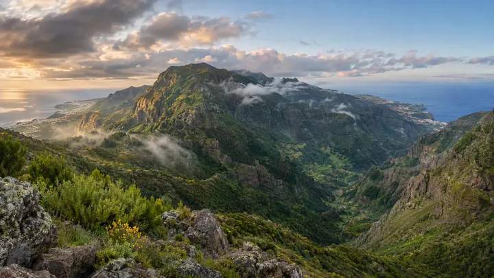
The one road pass where you can see both coasts of Madeira at once.
- Height above the sea1,007 m
- From Funchal≈ 40 min by carRoughly, by car from the middle of Funchal
- ParkingOn site
- Café30 m
- Bus stop80 m
Sources (2)
The place
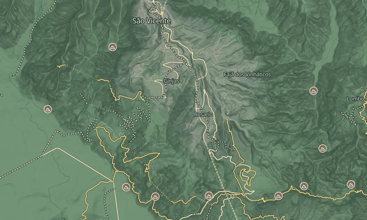
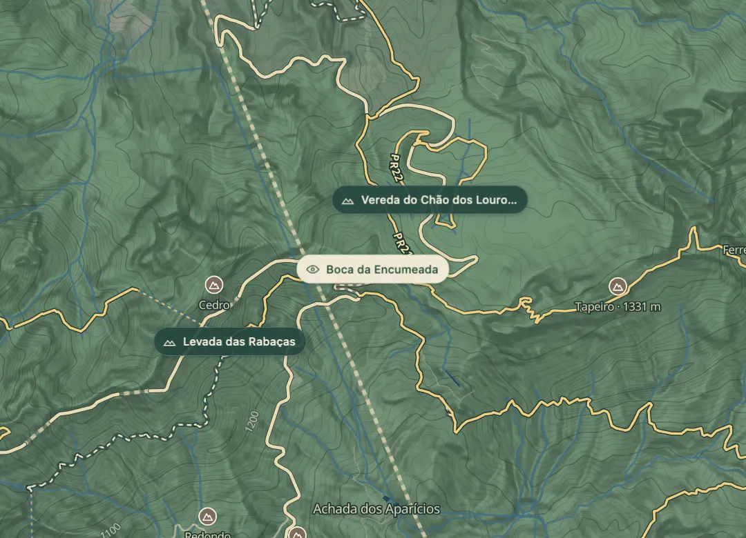
Boca da Encumeada is the saddle, at about 1,007 m, where the central road crosses between the valleys of São Vicente on the north coast and Ribeira Brava on the south. From the viewpoint you can see both coasts at once, which is the point of the stop. On a clear day the view runs down both valleys, and the peaks are often just above the cloud.
The pass is exposed to weather from both sides, so cloud and wind can arrive quickly, and fog can cut visibility in minutes. Bring water, a warm layer and something to eat for the drive, and allow time to enjoy both views before you move on. Serra de Água, a parish nearby, is worth a look on the same drive, and the Taberna da Poncha is on the valley road there.
When to come
A clear mid-morning, before cloud builds over the pass, when both coasts are visible. The peaks are often above the cloud, so a clear day is what you are after.
Getting there
By car over the pass on the island's central road; check the route on a map before you set off and park where there is space.
Highlights
- Both coasts in one view, with São Vicente to the north and Ribeira Brava to the south.
- The peaks, which are often just above the cloud.
- The parish of Serra de Água nearby, worth a look on the same drive.
The view from here
Looking NW
The horizon all round, measured on the island’s terrain. In sight: Buraco (1,423 m · 2.9 km, NE); Casado (1,728 m · 3.4 km, E); Tapeiro (1,331 m · 1.3 km, E); Grande (1,654 m · 3.6 km, SE); Serradinho (1,443 m · 4.9 km, SE); Cavalo (1,349 m · 4.4 km, SE); Bica da Cana (1,580 m · 3.3 km, W); Ruivo do Paul (1,640 m · 6.1 km, NW); Espigão (963 m · 5.7 km, NW); São Vicente (92 m · 6 km, NW).
Measured on the island’s terrain: what no nearer ridge hides · drag to look round
The light here today
- Sunrise
- —
- Sunset
- —
- Golden hour
- —
The view from here
What you see from here
Peaks, places and islands in sight from this spot, by the way they lie. The islands show on a clear day.
- NEBuraco1,423 m · 2.9 km
- ECasado1,728 m · 3.4 km
- ETapeiro1,331 m · 1.3 km
- SEGrande1,654 m · 3.6 km
- SESerradinho1,443 m · 4.9 km
- SECavalo1,349 m · 4.4 km
- WBica da Cana1,580 m · 3.3 km
- NWRuivo do Paul1,640 m · 6.1 km
- NWEspigão963 m · 5.7 km
- NWSão Vicente92 m · 6 km
Before you go
Safety
Fog can cut visibility in minutes and cloud can arrive from either side, so check the forecast before you drive over.
Worth knowing
The pass is about 1,007 m, so expect cooler air and wind than on the coast, even in summer.
A hotel with a restaurant sits close to the pass, so plan food and water as well.
PR1.3 finishes at Encumeada, and its final section is closed, so check the trail's status before you walk from the pass.
Check each route's status on SIMplifica before you walk from the pass.