Trails
Glaciar de Planalto (PR27)
Traces of an Ice Age glacier on the Paul da Serra plateau
The place
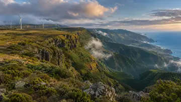
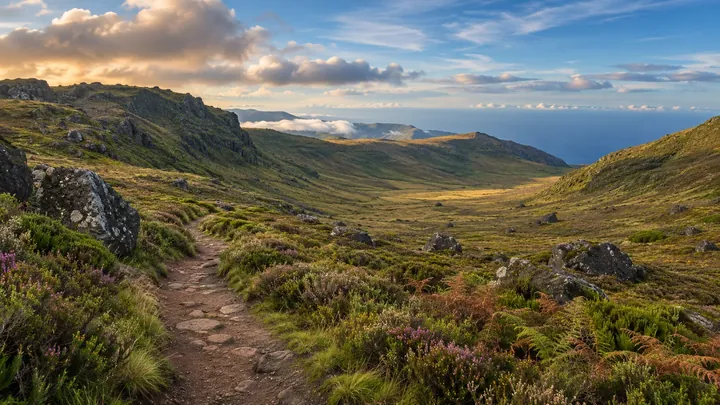
Glaciar de Planalto is the official PR27, a 4.6 km route across the Paul da Serra plateau from Bica da Cana to the ER 105 road, which IFCN gives about an hour and a half. It is a geology trail: an ice field covered the plateau at the height of the Last Glacial Maximum, around 25,000 years ago, and the route reads what it left behind. Heights stay between 1,457 m and 1,588 m. IFCN listed the route as closed on 3 November 2026.
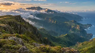
The walk starts down a shallow glacial valley with a rounded, U-shaped floor, where a circular hollow marks a basin scoured under the ice. It then climbs the worn top of Fonte do Juncal, an old basalt cinder cone from an eruption between 1.8 million and 774,000 years ago, with a view over the flat plateau. On the way down, the Rabaças viewpoint looks over the head of the Ribeira da Ponta do Sol valley and its moraine of large basalt blocks and columns, and the route ends at Fajã Redondo, a glacial cirque at Sítio das Pedras with the ruins of old sheep-shearing pens.
Highlights
- A U-shaped glacial valley and a basin scoured under the ice.
- The worn top of the Fonte do Juncal cinder cone.
- The Rabaças viewpoint over moraine of basalt blocks and columns.
- Fajã Redondo, a glacial cirque with the ruins of old shearing pens.
When to come
Clear weather, once IFCN reopens it: the landforms are the point of the walk, and fog on the plateau hides them.
Getting there
Start at the Bica da Cana viewpoint on the Paul da Serra. The route ends on the ER 105, so plan a pick-up or the walk back.
Worth knowing
- Status: listed as closed by IFCN on 3 November 2026; check that it has reopened before you go.
- Booking and fee: pay through SIMplifica; €4.50 in 2026 for visitors over 12, with children 12 and under exempt.
- Distance and time: 4.6 km one way, about 1 hour 30 minutes.
- Heights: between 1,457 m and 1,588 m.
- Route: from Bica da Cana to the ER 105 road.