Levada das Rabaças
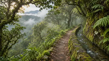
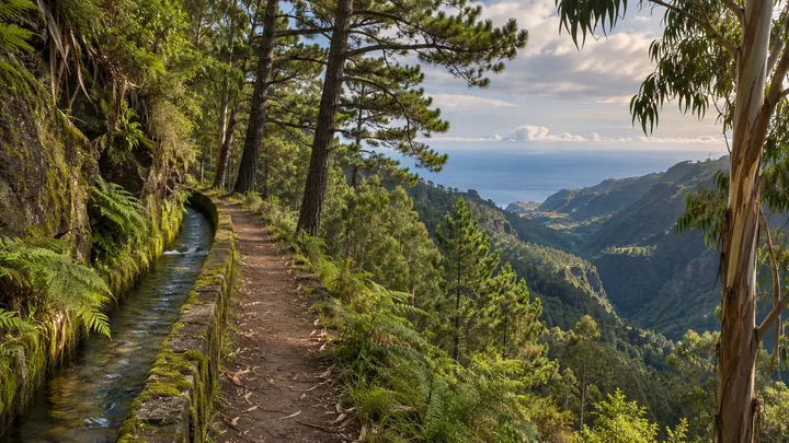
A narrow levada wall west of the Encumeada pass
- 2.9 km · one way
- ≈ 30 min
- ↑ 0 m
- Moderate
- Tunnel: bring a torch
- Bus stop 410 m away
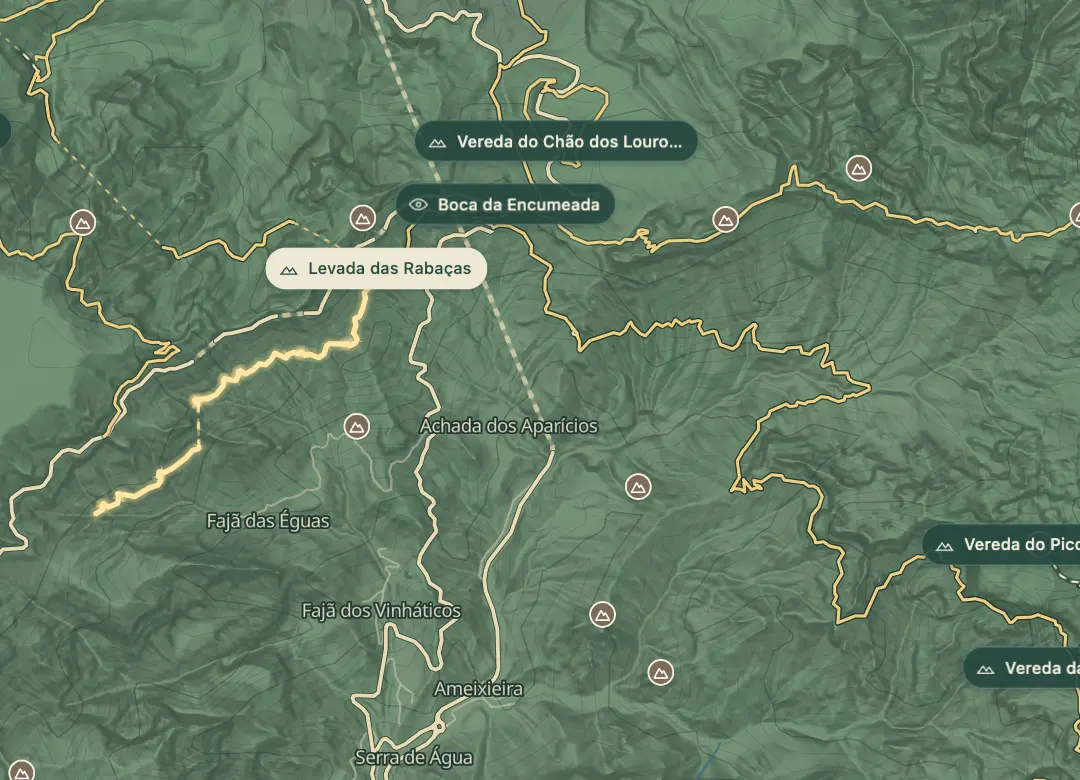 Open on the island map
The walk, start to finish
At a glance
- Distance
- 2.9 km · one way
- Time
- ≈ 30 min
- Climb
- ↑ 0 m
- Difficulty
- Moderate
32.7512, -17.0282Open on the island map
The place
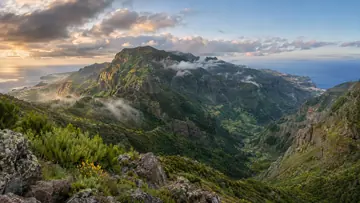
The Levada das Rabaças runs along the south side of the mountains just west of the Encumeada pass, at about 990 m. It is one of the capture channels built to gather water for the Levada do Norte, and this stretch of about 2.9 km follows it from a spring by the ER 105 towards Crista de Galo and Lombo do Mouro, with views down the Ribeira Brava valley.
It is short and level, but not easy. For about 780 m the way is the top of the levada wall itself, about 30 cm wide, and a tunnel of about 240 m has a low roof, mud and deep puddles. The channel has also been badly damaged: a landslide in 2010 worsened its state, a restoration project began in 2020, and rockfall after the 2024 wildfire closed parts of the path. Check its state before you set out.
Highlights
- Views down the Ribeira Brava valley from the south side of the Encumeada pass.
- About 780 m walked on the levada wall, some 30 cm wide.
- A tunnel of about 240 m with a low roof and deep puddles.
- A level line at about 990 m.
Plan your visit
Good to know
When to come, how to get there and what to know first.
When to come
Only in settled, dry weather, and only after checking that the path is open.
Getting there
Start by the ER 105 just west of the Encumeada pass, about 400 m from the Estalagem da Encumeada bus stop, and come back the same way.
Worth knowing
Facts checked November 2, 2026
Distance and time: about 2.9 km one way, about half an hour at a steady pace; longer on the narrow wall.
Status: rockfall after the 2024 wildfire closed parts of the path; check before you go.
Exposure: the levada wall is narrow, with drops beside it; not for anyone uneasy with heights.
Tunnel: bring a torch and waterproof boots for the mud and puddles.
Fee: none; this is not an official PR trail.
Beyond the walks
What else is there to do?
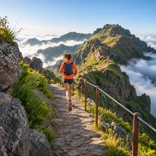 Trail runningPináculo · 2 km
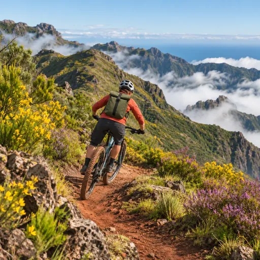 Mountain bikingBica da Cana - Estanquinhos - Lameirinhas · 2.8 km
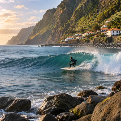 SurfingDireita de São Vicente · 6.7 km
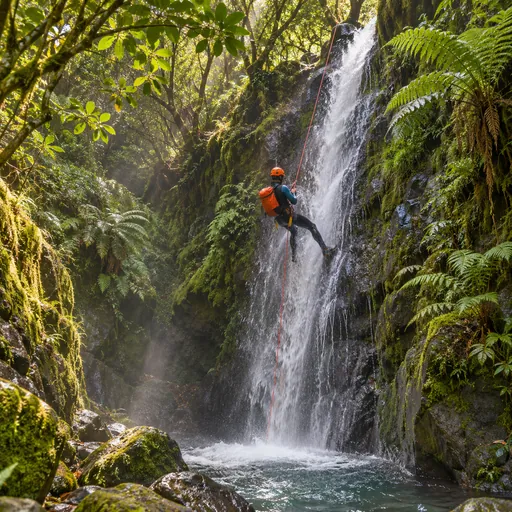 CanyoningRibeira do Cidrão · 7 km
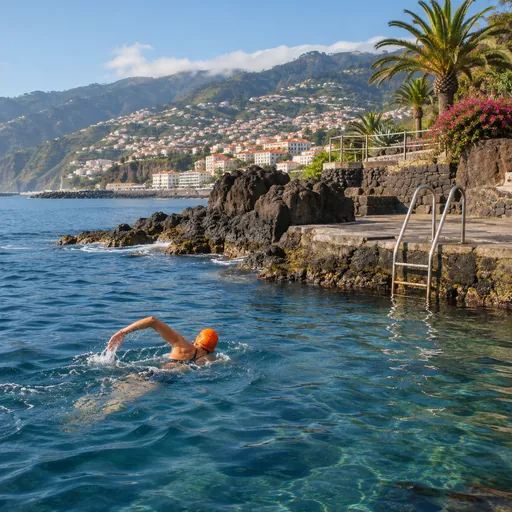 Open-water swimmingFajã dos Padres - Calhau da Lapa · 9.9 km
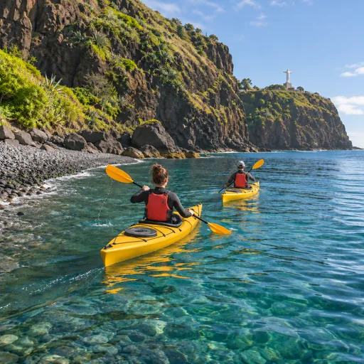 Sea kayakingSeixal · 10.6 km
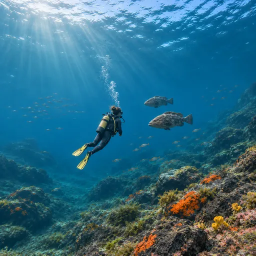 Scuba divingNaufrágio Bom Rei / Bow Belle · 11.6 km
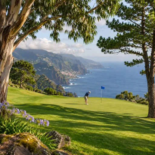 GolfPalheiro Golf · 13.6 km