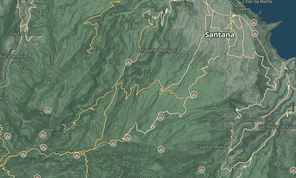
Achada do Teixeira
Park at 1600 m and reach Pico Ruivo's summit in under an hour and a half round trip.
- Height above the sea1,600 m
- From Funchal≈ 1 hr, 5 min by carRoughly, by car from the middle of Funchal
- Parking160 m
- Café260 m
Sources (2)
The place
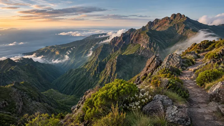
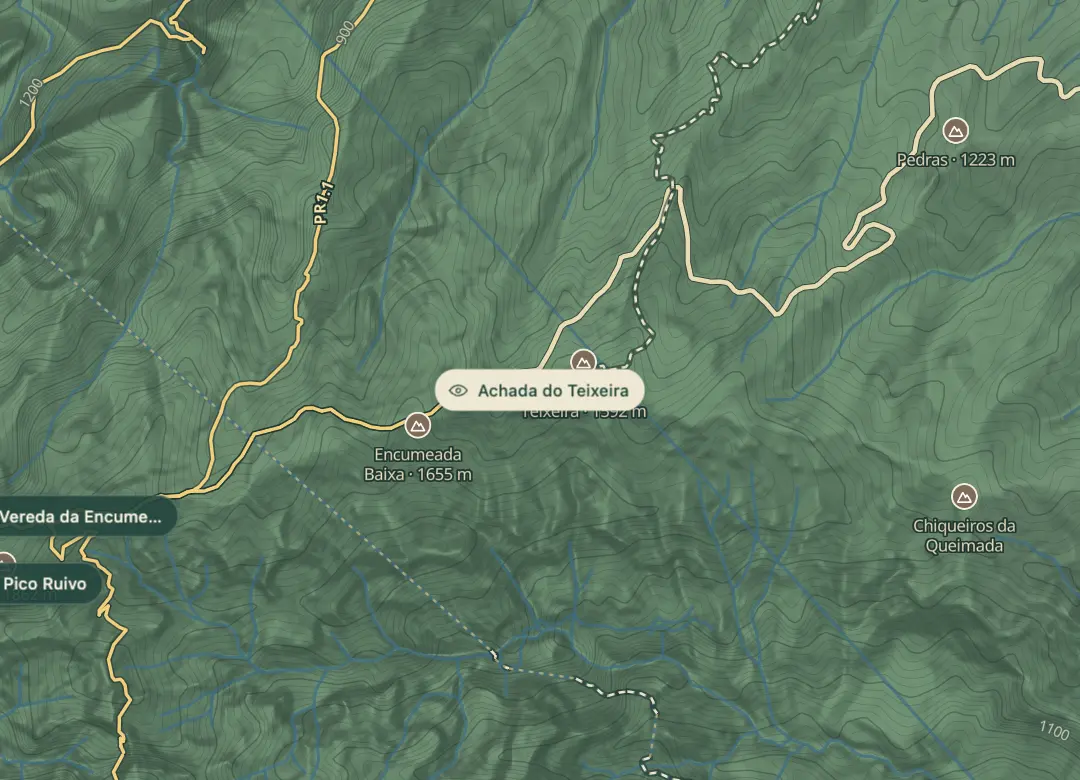
Achada do Teixeira is a high plateau at about 1,600 m, where the road to the Pico Ruivo trailhead ends at a car park. From here the PR1.2 path climbs to the summit of Pico Ruivo, the highest point on Madeira, and the car park sits only about 260 m below the top. That makes it the practical way to reach the summit without the exposure of the PR1 ridge.
Beside the car park stands the Homem em Pé, the Standing Man, a basalt rock formation that is worth a short look before you walk. The walk is a steady climb, about 1 h 30 min return, with cobbled steps that get slick when wet or frosted. Go early, because cloud tends to build over the ridge later in the morning.
When to come
Early morning, for calm air and to beat the cloud that tends to build over the ridge by late morning.
Getting there
Drive to the Achada do Teixeira car park at about 1,600 m, at the end of the road (ER 218), then follow the PR1.2 path to the summit.
Highlights
- The Homem em Pé, a basalt rock formation beside the car park.
- The PR1.2 path to Pico Ruivo, 2.8 km each way, the principal route to the summit.
- A high start point, about 260 m below the summit.
The view from here
Looking W
The horizon all round, measured on the island’s terrain. In sight: Casas de Santana (394 m · 5.9 km, NE); Cascata do Aguage (456 m · 5.9 km, NE); Porto Santo (64 km, NE); Penha d'Águia (590 m · 7.8 km, E); Coroa (418 m · 12.3 km, E); Castanho (587 m · 15 km, E); Desertas (48 km, SE); Pico Ruivo (1,862 m · 2 km, W); Lapa da Cadela (1,597 m · 2.8 km, W); Casado (1,728 m · 5.8 km, W); Ruivo do Paul (1,640 m · 14.8 km, W); Assumada (456 m · 26.7 km, NW).
Measured on the island’s terrain: what no nearer ridge hides · drag to look round
The light here today
- Sunrise
- —
- Sunset
- —
- Golden hour
- —
The view from here
What you see from here
Peaks, places and islands in sight from this spot, by the way they lie. The islands show on a clear day.
- NECasas de Santana394 m · 5.9 km
- NECascata do Aguage456 m · 5.9 km
- NEPorto Santo64 km
- EPenha d'Águia590 m · 7.8 km
- ECoroa418 m · 12.3 km
- ECastanho587 m · 15 km
- SEDesertas48 km
- WPico Ruivo1,862 m · 2 km
- WLapa da Cadela1,597 m · 2.8 km
- WCasado1,728 m · 5.8 km
- WRuivo do Paul1,640 m · 14.8 km
- NWAssumada456 m · 26.7 km
Before you go
Bring
Cobbled steps get slick when wet or frosted in winter, so wear boots with grip.
Worth knowing
Allow about 1 h 30 min for the 5.6 km return, plus time at the top; the climb is roughly 260 m.
SIMplifica booking is required for the PR1.2 walk to Pico Ruivo, at €4.50 per person over 12 in 2026; children 12 and under go free.
The Homem em Pé stands beside the car park, so you can see it before you set off on the walk.
Take water and a warm layer, since the car park is a bare starting point.
Weather changes quickly at this height, and shelters along the route give cover if it turns.
PR1.2 is open, and PR1.3 towards Encumeada is restricted.