Vereda da Penha D'Aguia
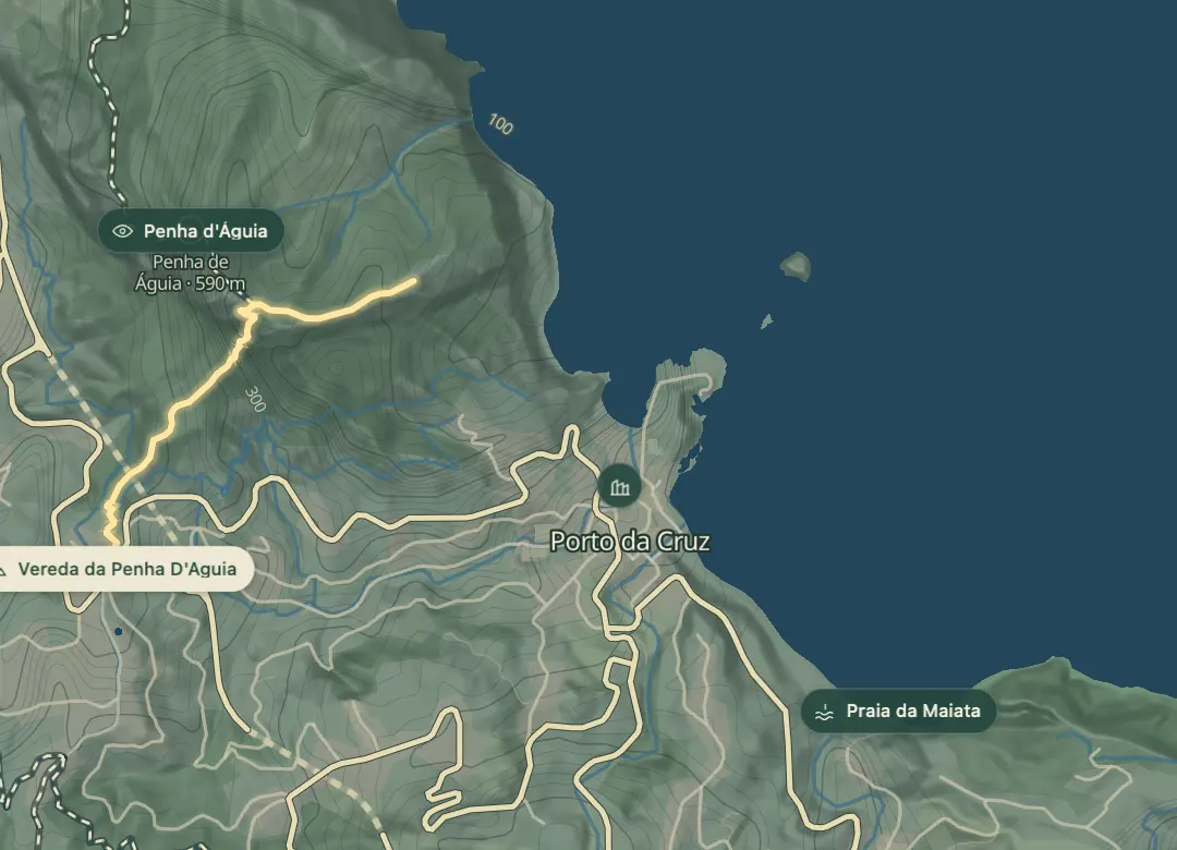
Up the 600 m Eagle's Rock between Porto da Cruz and Faial
- Distance1.5 km · one way
- Time≈ 1 hr, 30 minEstimated from the route and the 5 m survey
- Climb↑ 330 m
- DifficultyHard
- From Funchal≈ 35 min by carRoughly, by car from the middle of Funchal
- Bus stop 240 m
- Café On site
Sources (2)
The place
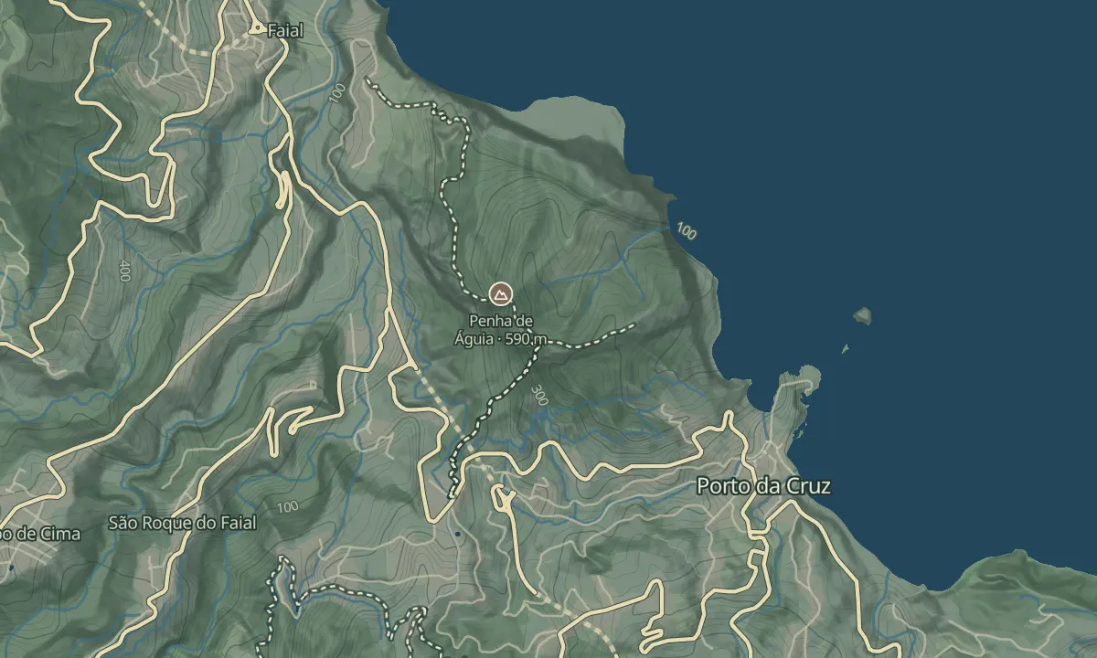
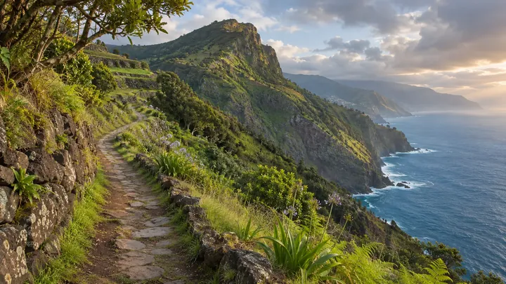
Penha d'Águia, which means Eagle's Rock, is a rock almost 600 m tall that stands between Porto da Cruz and Faial in the Machico municipality. It is one of the archipelago's most important geological landmarks, and it is visible from many points around the island.
The climb is a steep dirt track that only fit walkers should attempt, and the walk takes about two and a half hours. Loose, wet ground makes it slippery, some sections need hands on the rock, and the upper stretches have little shade. Set a steady pace on the steeper stretches, and choose a clear day, because cloud can hide the view from the top. The reward is the view over the villages below, the Madeiran mountain range and the Atlantic Ocean.
When to come
Set off early in the day, when it is cooler and visibility is better, because the midday sun is hard going on the upper sections, which have little shade.
Getting there
Drive to Porto da Cruz, leave the car by the waterfront or at the Rum Factory, and follow the uphill signs marked for the Vereda da Penha de Águia.
Highlights
- The top of the rock looks out over the villages below, the Madeiran mountain range and the Atlantic Ocean.
- The rock is almost 600 m tall, and the path climbs steeply to reach its top.
- Some stretches need hands on the rock as well as feet, so the walk is more physical than a simple hike.
The walk, start to finish
Before you go
Safety
The vertigo risk is rated medium, so take extra care on the steepest sections.
In wet weather the surface turns to very slippery mud, so choose a dry day when you can.
Bring
Wear grip shoes and carry walking poles, since the downhill sections are hard on the knees.
Carry water and sun protection, as the upper sections offer little shade.
Worth knowing
Allow about two and a half to three hours for the walk.
Only walkers with good fitness should attempt the climb, which is steep on loose dirt.
The trail begins on Caminho D. Sebastião, so look for that street when you set out.