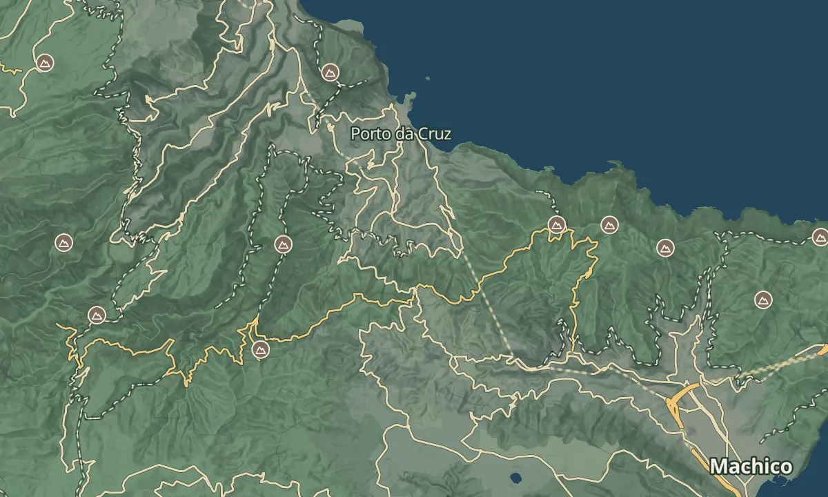
Miradouro da Portela
590 m pass viewpoint framing Penha d'Águia, between Porto da Cruz and Machico.
- Height above the sea590 m
- From Funchal≈ 35 min by carRoughly, by car from the middle of Funchal
- Parking90 m
- Café70 m
- Bus stop100 m
The place
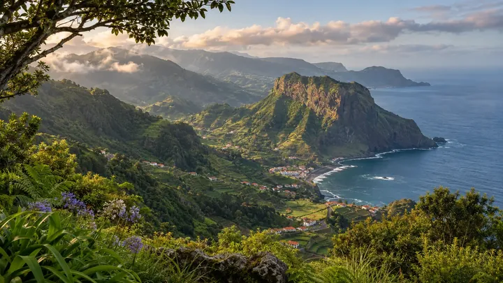
The Portela viewpoint stands at 670 m on the Portela pass above Porto da Cruz, and it looks over the eastern and northern parts of the island in one sweep. Below, the orange-tiled houses of Porto da Cruz climb the slopes, and Penha d'Águia rises about 600 m high in the distance, with the sea filling the far backdrop.
The Levada do Furado walk from Ribeiro Frio finishes at this pass, so it is also a walking finish. Bus 53 from Funchal serves Portela, which makes the viewpoint an easy stop on a day around the north and east of the island. A clear morning gives the longest views across the north coast, so check the forecast before you go up.
When to come
Clear mornings, when the view is widest. The pass can hold cloud, so check the forecast before you drive up.
Getting there
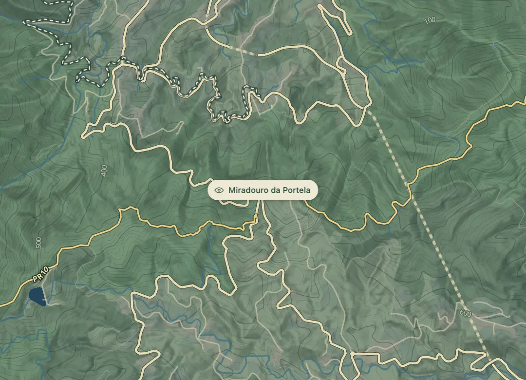
Drive to the Portela pass above Porto da Cruz, or take bus 53 from Funchal, which serves Portela. Use a map app with 32.7473 N, 16.8259 W to find the exact spot.
Highlights
- The orange-tiled houses of Porto da Cruz cover the slopes below the lookout.
- Penha d'Águia, about 600 m high, rises in the distance.
- The view covers the eastern and northern parts of the island, with the sea as the backdrop.
- The Levada do Furado walk from Ribeiro Frio finishes at this viewpoint.
The view from here
Looking NW
The horizon all round, measured on the island’s terrain. In sight: Porto Santo (58 km, NE); Suna (1,028 m · 2.8 km, W); Pico do Arieiro (1,818 m · 9.7 km, W); Pico das Torres (1,851 m · 10.3 km, W); Achada do Teixeira (1,592 m · 9.1 km, W); Pedreiro (972 m · 2.3 km, W); Pedras (1,223 m · 8.1 km, W); Redondo (837 m · 7.3 km, NW); Faial (295 m · 4.8 km, NW); Penha d'Águia (590 m · 3.8 km, N); Porto da Cruz (147 m · 2.8 km, N).
Measured on the island’s terrain: what no nearer ridge hides · drag to look round
The light here today
- Sunrise
- —
- Sunset
- —
- Golden hour
- —
The view from here
What you see from here
Peaks, places and islands in sight from this spot, by the way they lie. The islands show on a clear day.
- NEPorto Santo58 km
- WSuna1,028 m · 2.8 km
- WPico do Arieiro1,818 m · 9.7 km
- WPico das Torres1,851 m · 10.3 km
- WAchada do Teixeira1,592 m · 9.1 km
- WPedreiro972 m · 2.3 km
- WPedras1,223 m · 8.1 km
- NWRedondo837 m · 7.3 km
- NWFaial295 m · 4.8 km
- NPenha d'Águia590 m · 3.8 km
- NPorto da Cruz147 m · 2.8 km
Before you go
Worth knowing
Altitude: 670 m.
Bus: bus 53 from Funchal serves Portela.
Walking: the Levada do Furado walk from Ribeiro Frio ends here; check its status with IFCN or on SIMplifica before you set out.
Coordinates: 32.7473 N, 16.8259 W.
Weather: the pass can hold cloud, so check the forecast before going up.
Views: the roofs of Porto da Cruz, Penha d'Águia and the sea.