Vereda das Funduras (PR5)
The south slope's best laurissilva, from Portela down to Maroços
- 8.7 km · one way
- 3 hr
- ↑ 520 m
- Moderate
- 624 m above the sea
- Bus stop 120 m away
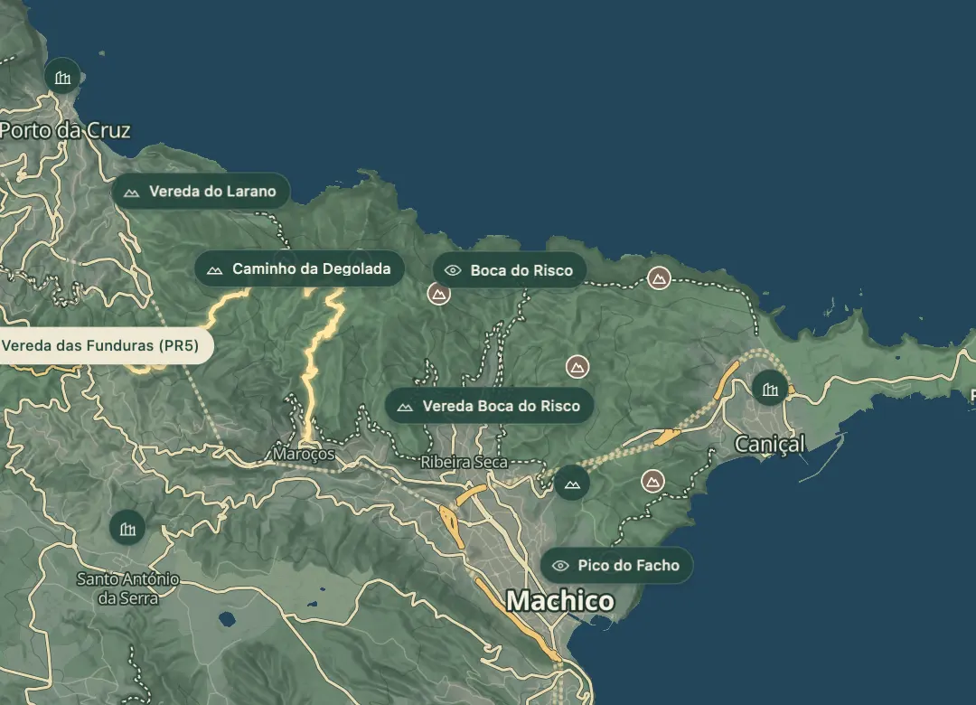 Open on the island map
The walk, start to finish
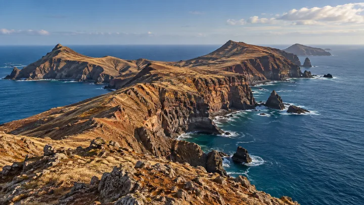
At a glance
- Distance
- 8.7 km · one way
- Time
- 3 hr
- Climb
- ↑ 520 m
- Difficulty
- Moderate
32.7474, -16.8255Open on the island map
The place
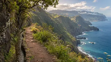
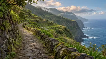
Vereda das Funduras is the official PR5, a one-way route of 8.7 km from the Miradouro da Portela, on the ER 110, to the village of Maroços in Machico. IFCN gives it about 3 hours, and heights range between 186 m and 624 m. The first part follows the forest road of the Serra das Funduras; only later does a footpath turn off into the forest.
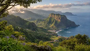
The viewpoint at the start looks over the parishes of Porto da Cruz and Faial and the rock mass of Penha d'Águia, which Visit Madeira counts among the island's great geological symbols. The Serra das Funduras has the best laurel forest, or laurissilva, on Madeira's south slope and is a Site of Community Importance in the Natura 2000 network. Casa das Funduras, a Regional Government house that supports forestry work, serves as a shelter with a leisure area; from there a path leads to the Miradouro do Larano, over the city and bay of Machico, while the route goes on down through the poios, the terraced fields typical of Madeira's farmland, to Maroços.
Highlights
- The Portela viewpoint at the start looks over Porto da Cruz, Faial and the rock mass of Penha d'Águia.
- The Serra das Funduras holds the best laurissilva on Madeira's south slope.
- From Casa das Funduras a path leads to the Miradouro do Larano, over the city and bay of Machico.
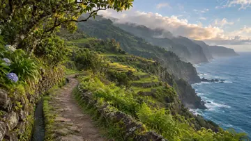
- The last stretch crosses poios, the traditional terraced fields, before reaching the village of Maroços.
Plan your visit
Good to know
When to come, how to get there and what to know first.
When to come
A clear day, for the views over Penha d'Águia at the start and over Machico from the Miradouro do Larano. The weather changes often, so bring a warm layer.
Getting there
The route starts at the Miradouro da Portela on the ER 110, where the panel map shows a bus stop, a restaurant and parking. It ends in Maroços, which has a bus stop nearby; otherwise arrange a taxi or a lift back.
Worth knowing
Facts checked November 4, 2026
Booking and fee: pay through SIMplifica; €4.50 in 2026 for visitors over 12, with children 12 and under exempt.
Distance and time: 8.7 km one way, about 3 hours.
Heights: between 186 m and 624 m.
Difficulty: moderate.
Caution: IFCN warns that the weather changes often, so bring warm clothes, and asks you to carry enough drinking water.
Status: open on the IFCN list on 4 November 2026; check IFCN or SIMplifica before you go.
Beyond the walks
What else is there to do?
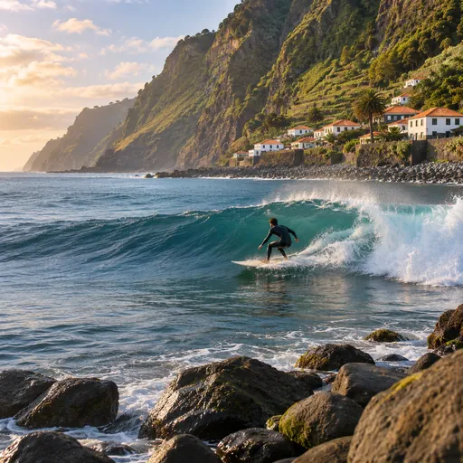 SurfingMaiata · 2.3 km
 Trail runningPorto da Cruz Longo · 3 km
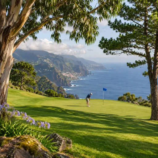 GolfSanto da Serra Golf Club · 3.4 km
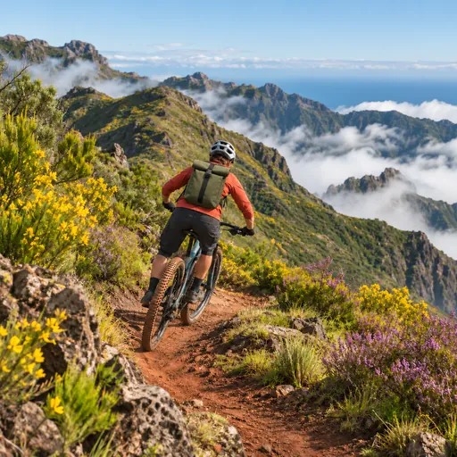 Mountain bikingJoão do Prado - Pico do Suna - Lamaceiros - Bar do Roque · 4.7 km
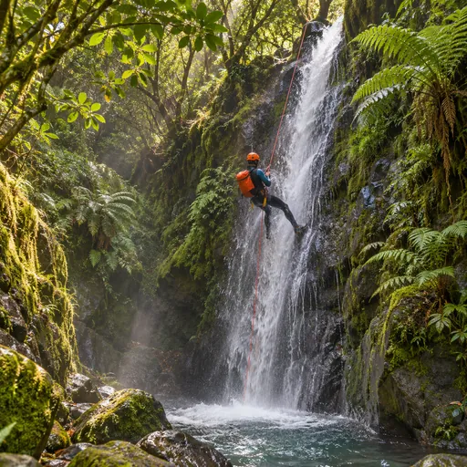 CanyoningRibeira do Poço do Bezerro (Superior) · 5.5 km
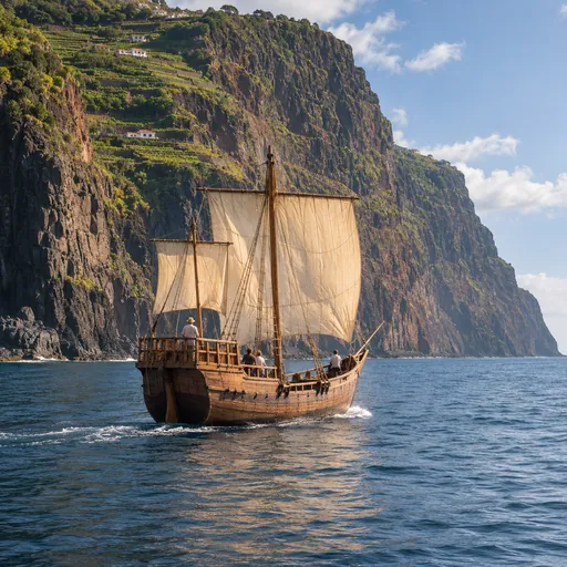 Boat tripsMachico · 6.6 km
 Whale and dolphin watchingMachico · 6.8 km
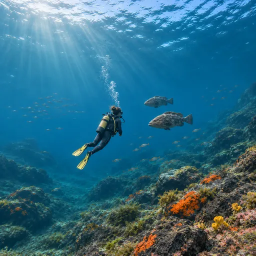 Scuba divingBaixa de Santa Catarina · 7.3 km
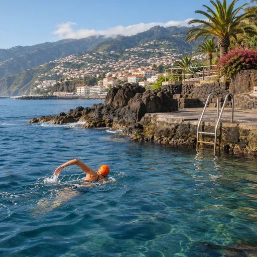 Open-water swimmingPraia das Palmeiras (Percurso 2) · 7.4 km
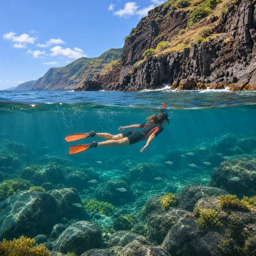 SnorkellingGarajau beach · 12.2 km