- Distance21.8 km · one way
- Time≈ 10 hrEstimated from the route and the 5 m survey
- Climb↑ 1,590 m
- DifficultyHard
- From Funchal≈ 45 min by carRoughly, by car from the middle of Funchal
- Bus stop 30 m
- Parking 130 m
- Water 210 m
- Café 70 m
- Toilets 80 m
The place
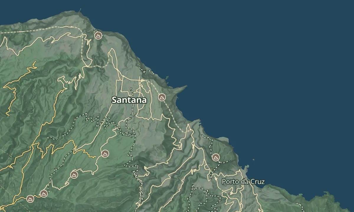
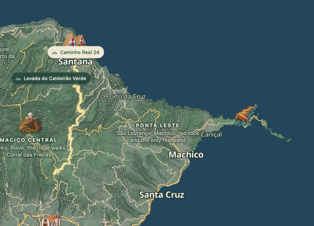
Caminho Real 24 is one of the six numbered Caminhos Reais, which were historic municipal footpaths and, before roads were built, the only way into villages. This one starts in Santana on the north side of the island and is a route for walkers who are comfortable with long climbs.
It is a long, hard day of about 22 km with about 1,600 m of climbing across four main climbs, so pace yourself. The Funchal end is walked today as the Caminho Real do Monte, the official PR 3.1, which starts at Ribeira das Cales, crosses the Levada das Cales, a water channel dating back to 1784, and follows this historic path before it reaches Monte. You can take that final stretch without committing to the whole route.
When to come
An early start on a dry day in spring or autumn suits it, since the route takes about ten hours on foot. Wet weather makes island paths muddy, so choose a settled forecast.
Getting there
Start in Santana on the north side of the island, or walk only the Funchal end, where the official PR 3.1 begins at Ribeira das Cales beside the Funchal Ecological Park's Welcome Centre and ends in Monte.
Highlights
- Four main climbs between about 250 m and 1,390 m make this a long day on foot.
- It is one of the six numbered Caminhos Reais, the historic footpaths that once linked the island's villages.
- The Funchal end is the official PR 3.1 Caminho Real do Monte, which follows this path to Monte.
- A GPX track for the route is published on the Caminho Real association's website.
The walk, start to finish
Before you go
Bring
Rated very hard, with about 1,600 m of climbing and a lowest point near 250 m, so carry enough water and food for a long day.
Worth knowing
Allow about ten hours on foot for the full route of roughly 22 km.
PR 3.1, the Funchal end, is 4.2 km, takes about 2 hours, is rated moderate and is marked open, and official PR trails need payment through SIMplifica (simplifica.madeira.gov.pt).
The Caminho Real association's website has a GPX download for the route, which helps you stay on the line.
Wet weather makes island paths muddy, so choose a settled, dry day.
Start early so the long day finishes in daylight.