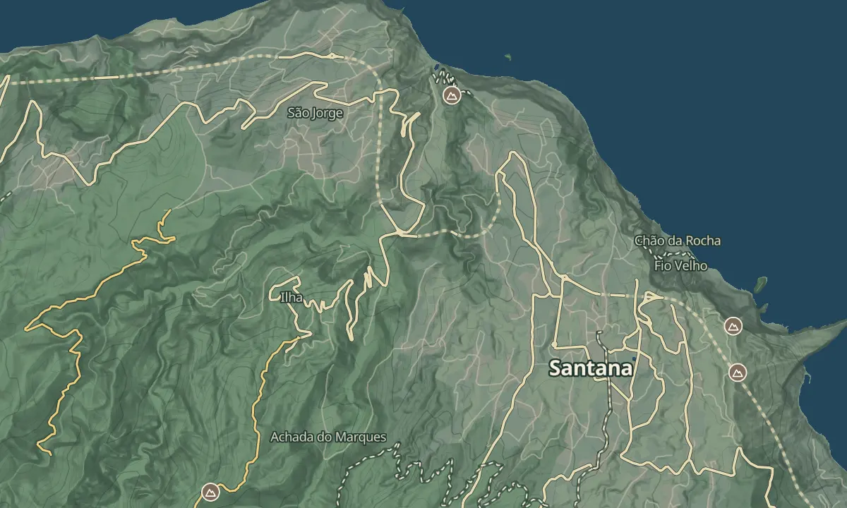
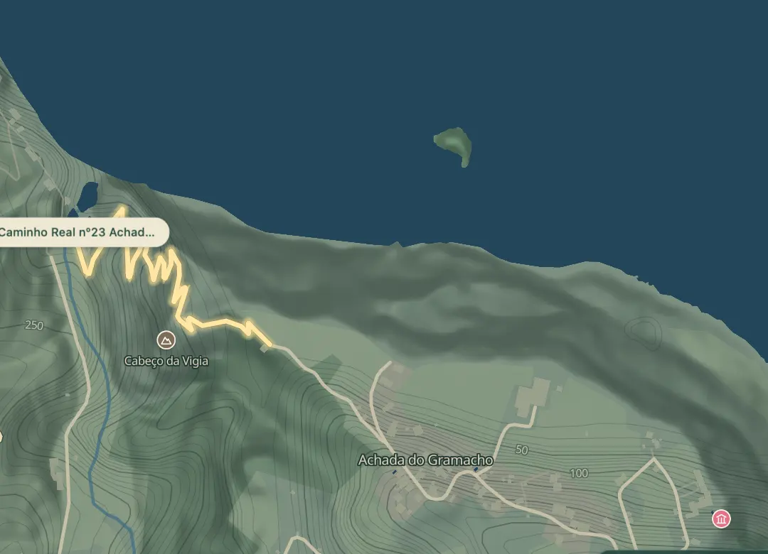
Caminho Real nº23 Achada do Gramacho
Cobbled royal road from Calhau de São Jorge to Achada do Gramacho
- Distance1.1 km · one way
- Time≈ 1 hrEstimated from the route and the 5 m survey
- Climb↑ 230 m
- DifficultyModerate
- From Funchal≈ 50 min by carRoughly, by car from the middle of Funchal
- Bus stop 500 m
- Parking 90 m
- Water 230 m
- Café 40 m
- Toilets 60 m
The place
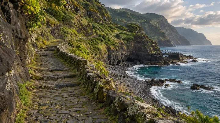
This is a piece of the Caminho Real 23, the old royal road that ran around the island: a cobbled track about 2 m wide that climbs from the sea at Calhau de São Jorge to the fields and houses of Achada do Gramacho, about 240 m above. It is 1.1 km long and takes about an hour on the way up, a little less coming down.
Calhau de São Jorge was the first centre of the parish of São Jorge, where its first churches and industries stood, and it was guarded by the Forte de São Jorge. The layout of the fort's triangular parade ground can still be seen in the ruins, which are classified as a local monument. From the shore the road climbs the cliff past the Cabeço da Vigia to Achada do Gramacho, and a restaurant by the beach makes a good place to start or finish.
When to come
Dry weather, as the cobbles get slippery after rain; the climb is easier in the cool of the morning.
Getting there
Drive down the Estrada do Calhau de São Jorge to the car park by the shore and walk up; the top joins the Caminho Real da Achada do Gramacho lane.
Highlights
- Cobblestones about 2 m wide on a stretch of the old Caminho Real 23.
- Calhau de São Jorge, the parish's first centre, with the ruins of the Forte de São Jorge.
- A climb of about 230 m from the sea to Achada do Gramacho.
- A restaurant by the shore at Calhau de São Jorge.
The walk, start to finish
Before you go
Safety
Surface: cobblestones, slippery when wet.
Worth knowing
Distance and time: about 1.1 km one way; about an hour up, less down.
Climb: about 230 m from the shore to Achada do Gramacho.
Difficulty: moderate; steep and steady, but on a wide, clear track.
Heritage: the ruins of the Forte de São Jorge at Calhau are a classified local monument.
Fee: none; this is not an official PR trail.