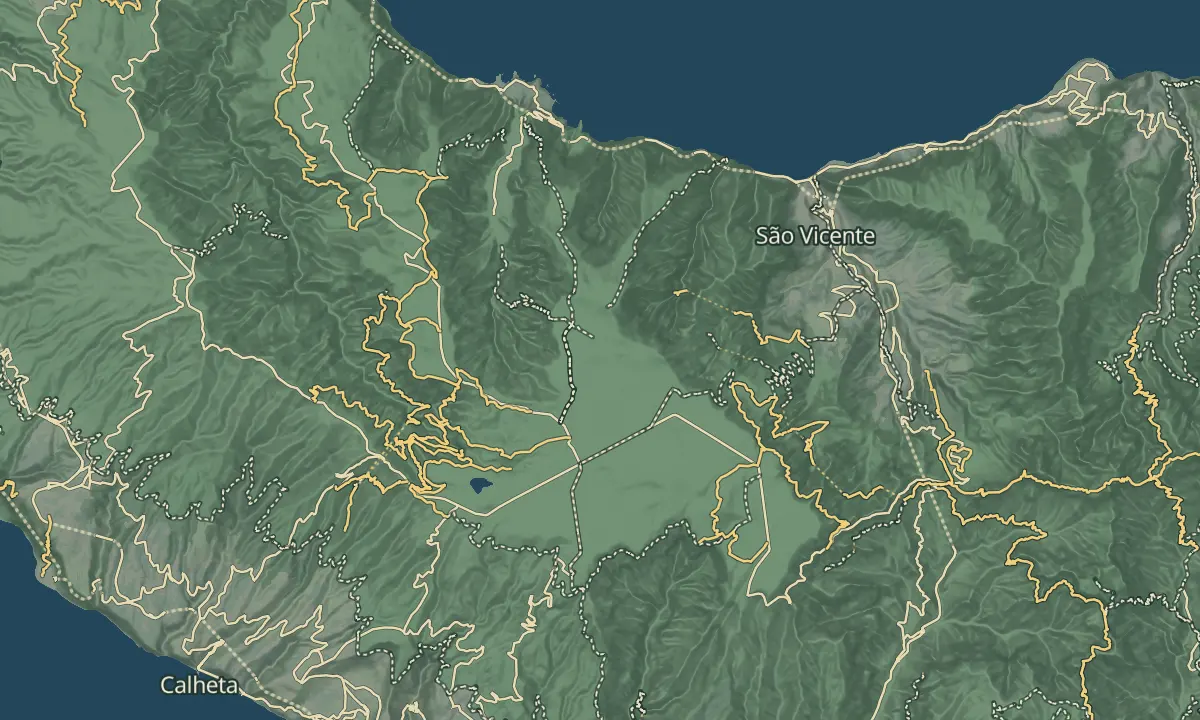
Terra Chã
Across the Paul da Serra plateau from Chão da Ribeira towards Fanal
- Distance7.8 km · one way
- Time≈ 5 hrEstimated from the route and the 5 m survey
- Climb↑ 1,200 m
- DifficultyHard
- From Funchal≈ 1 hr by carRoughly, by car from the middle of Funchal
Sources (3)
The place
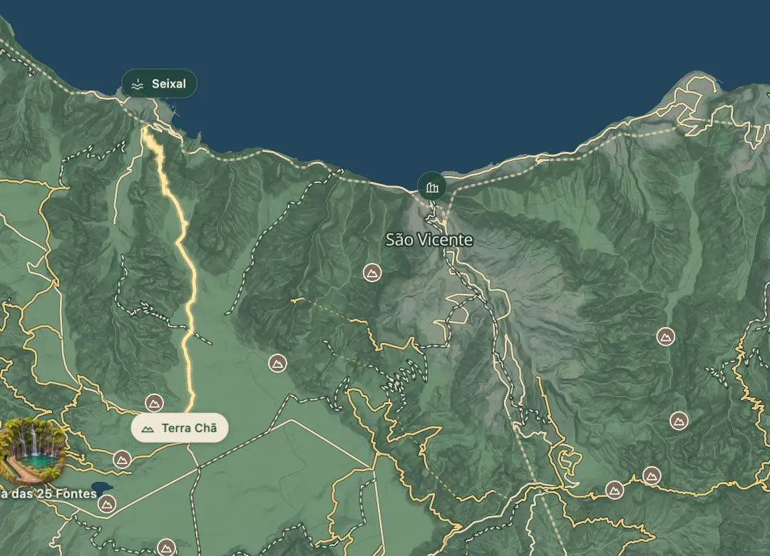
The Vereda da Terra Chã is a one-way hiking route across the Paul da Serra plateau, from Chão da Ribeira on the ER 221 to the ER 209 between Fanal and Ribeira da Janela. The walk covers 8.8 km and takes three and a half to four hours, with a highest point of 1,471 metres and a lowest of 310 metres.
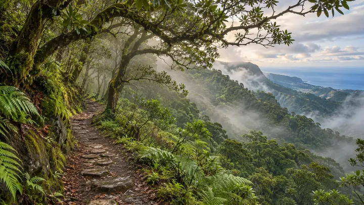
This is a route for experienced hikers with full kit. The climb is tough, the ground is irregular and sharp, and the start of the climb is well marked. Download the GPS track and check your fitness before you set out. The scars of a 2012 fire are visible near the finish, and because the route ends on a regional road, arrange transport at the finish before you start.
When to come
Choose a clear, settled day, and start early so that the three and a half to four hours of walking finish in daylight.
Getting there
The route is one way, so leave a car at the finish on the ER 209 between Fanal and Ribeira da Janela, or arrange a taxi, and start from Chão da Ribeira on the ER 221.
Highlights
- Start at Chão da Ribeira on the ER 221 and climb towards the Paul da Serra plateau.
- Cross the plateau, where the route reaches its highest point of 1,471 metres.
- Finish on the ER 209 between Fanal and Ribeira da Janela.
The walk, start to finish
Before you go
Bring
Ground: irregular and sharp, so wear sturdy footwear.
Worth knowing
Distance and time: 8.8 km one way, three and a half to four hours on foot.
Difficulty: rated high, for experienced walkers with full kit.
Altitude: highest point 1,471 metres, lowest 310 metres.
Dizziness: the risk on this route is rated low.
Navigation: the start of the climb is well marked, and the GPS track should be checked before you set out.
Fire: keep fires out of the landscape, as the 2012 fire near the finish shows.