Paul da Serra
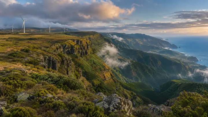
Madeira's high, flat, wind-scoured plateau, where nearly all its wind power spins.
- Height above the sea1,400 m
- From Funchal≈ 1 hr by carRoughly, by car from the middle of Funchal
The place
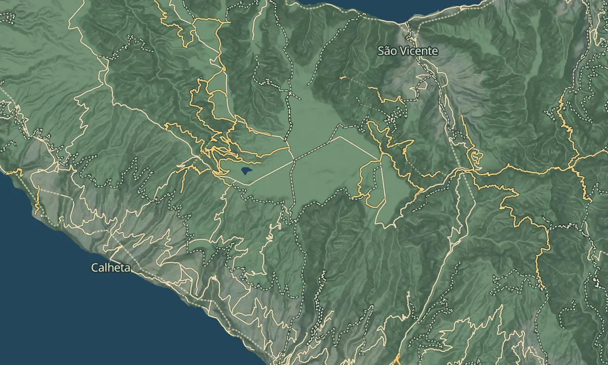
Paul da Serra is the largest plateau on Madeira, about 24 square kilometres of open ground at an average of around 1,500 m. Its surface is low scrub, mostly bracken, broom, gorse and St John's wort, a legacy of past grazing, and heather is slowly coming back. The flat ground suits wind farms, which supply nearly all of the island's wind power.
The highest point, Pico Ruivo do Paul, rises to 1,640 m above sea level. From the summit the full length of the plateau is in view, and on clear days both the north and south coasts can be seen. Fog is frequent, with more than 240 foggy days a year, so pick a clear day. Many trails and levadas start on the plateau, including the walks from Rabaçal.
When to come
Morning gives the clearest views, as fog is frequent here.
Getting there
By car, the plateau lies in Ponta do Sol municipality, reached by mountain roads, and the Rabaçal car park is a starting point for the walks.
Highlights
- Climb Pico Ruivo do Paul, at 1,640 m, for views across the whole plateau to both coasts on a clear day.
- Find the tree-sized heath at Bica da Cana on the north-east edge, where it grows up to 9 m high.
- Look at the wind farms that share the flat ground and supply nearly all of the island's wind power.
- Start one of the trails or levadas that begin on the plateau, such as the walks from Rabaçal.
The view from here
Looking W
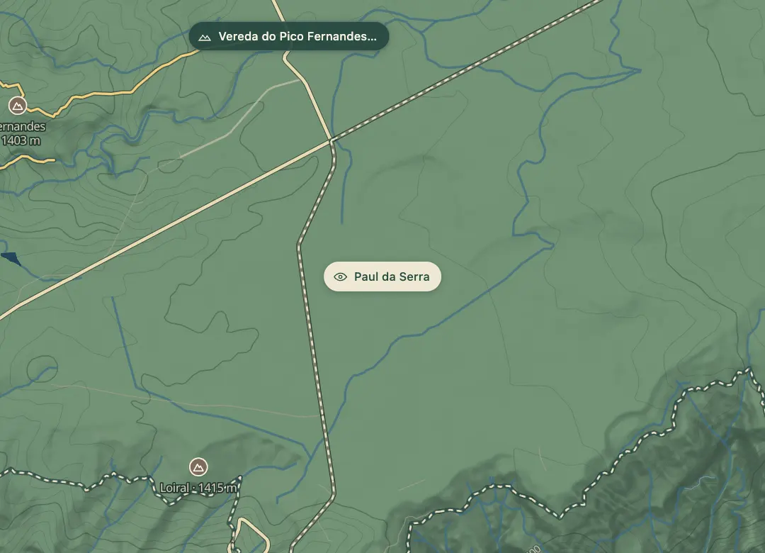
The horizon all round, measured on the island’s terrain. In sight: Ruivo do Paul (1,640 m · 3.1 km, NE); Loiral (1,415 m · 1.3 km, SW); Urze (1,415 m · 2.1 km, W); Fernandes (1,403 m · 2 km, NW).
Measured on the island’s terrain: what no nearer ridge hides · drag to look round
The light here today
- Sunrise
- —
- Sunset
- —
- Golden hour
- —
The view from here
What you see from here
Peaks, places and islands in sight from this spot, by the way they lie. The islands show on a clear day.
- NERuivo do Paul1,640 m · 3.1 km
- SWLoiral1,415 m · 1.3 km
- WUrze1,415 m · 2.1 km
- NWFernandes1,403 m · 2 km
Before you go
Safety
Check the weather before you set out, since fog is common on the plateau.
Drive slowly on the mountain roads, and use headlights in fog.
Bring
Pack a warm layer: the plateau averages about 1,500 m and Pico Ruivo do Paul rises to 1,640 m.
Worth knowing
Wind turbines are a common sight on the open ground.
The official PR trails from Rabaçal, such as the Risco walk, need a SIMplifica booking.