Levada dos Tornos - Norte
Down the Boaventura valley to the coastal platform of Fajã do Penedo
- Distance11.6 km · one way
- Time≈ 3 hrEstimated from the route and the 5 m survey
- Climb↑ 10 m
- DifficultyModerate
- From Funchal≈ 1 hr by carRoughly, by car from the middle of Funchal
The place
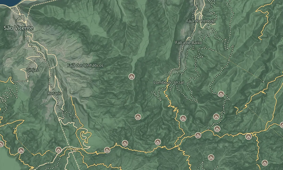
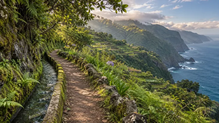
The northern Levada dos Tornos starts at the head of the Boaventura valley, on the north side of the island, and follows the water channel down to Fajã do Penedo, a small coastal platform. The official route is about 13 km one way and takes under four hours.
The opening climb is steep, after which the walk is mostly level beside the channel, passing laurel woodland and a waterfall. A detour to the waterfall near the start adds about 4 km there and back. Because the route is one way, plan the return before you set out.
When to come
Go on a dry day, since rain makes the path slippery and some drops are unfenced. The route takes under four hours one way, so start early to finish in daylight.
Getting there
Drive the coastal ER 101 from Funchal, which takes just over 45 minutes, to the village at the head of the Boaventura valley, where the road ends. There is no designated hiker car park, so park on the roadside and walk to the trailhead sign at the top of the village.
Highlights
- The steep opening climb above the village, after which the levada runs mostly level along the valley.
- A waterfall detour near the start, which adds about 4 km there and back.
- Laurel woodland along the valley, with the Madeira firecrest among the birds to look for.
The walk, start to finish
Before you go
Safety
Exposure: unfenced drop-offs run along the levada, and the wide path has no barrier in places; take care near the rocky outcrop, where rocks can break off.
Bring
Supplies: carry all the water and food you need for the day.
Worth knowing
Distance: about 13 km one way on the official route.
Time: under four hours one way.
Ascent: about 180 metres, mostly in the steep opening section.
Difficulty: moderate, with the opening climb the hardest part.
Loop: a lower, unofficial levada can take you back to the village, but it is hard to find and not well maintained.
Accessibility: the steep opening climb and uneven ground make this unsuitable for wheelchairs or pushchairs.