- Distance9.2 km · one way
- Time≈ 2 hr, 30 minEstimated from the route and the 5 m survey
- Climb↑ 100 m
- DifficultyModerate
- From Funchal≈ 1 hr by carRoughly, by car from the middle of Funchal
The place
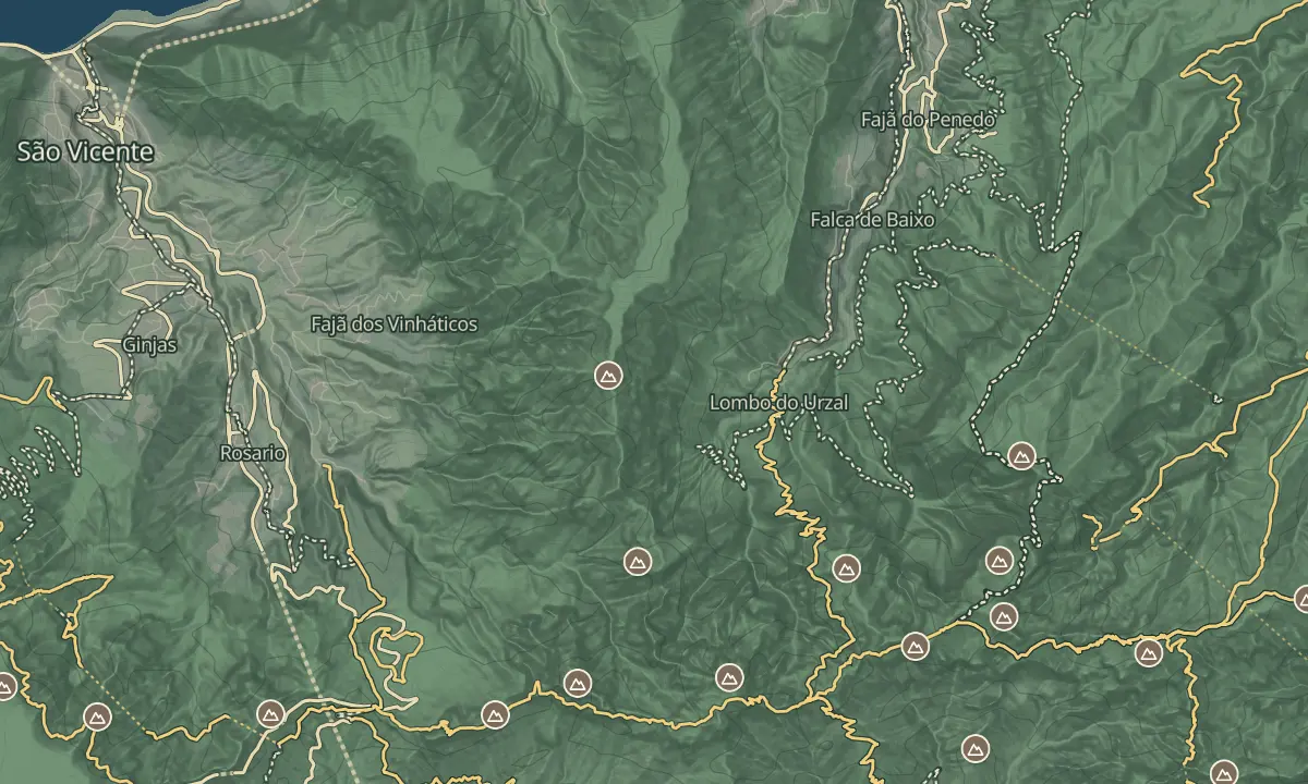
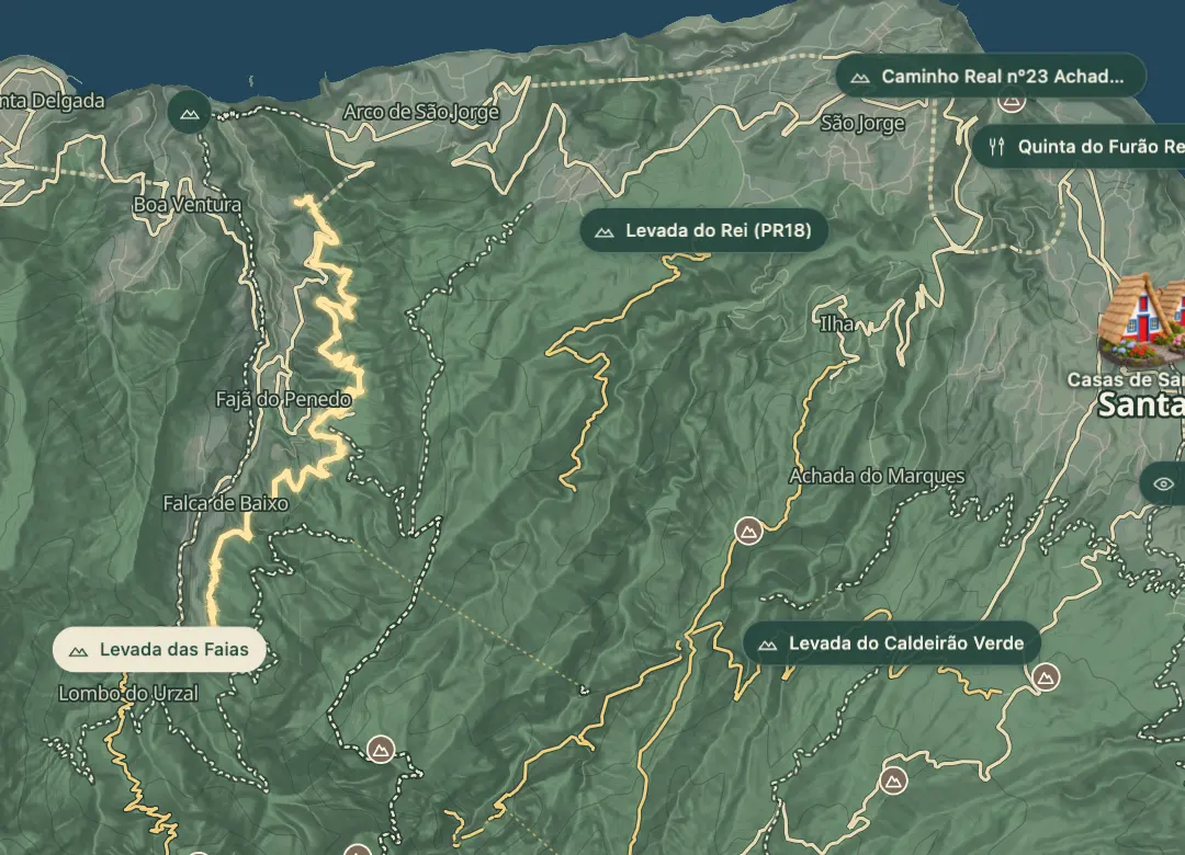
The Levada das Faias is one of the irrigation channels of Boaventura, on the north coast, alongside the parish's Levada Grande. It runs for about 9.2 km at 270 to 370 m, from near the ER 220 by Lombo do Urzal, past the hamlet of Fajã do Penedo, to the ER 211 near Pico do Alto.
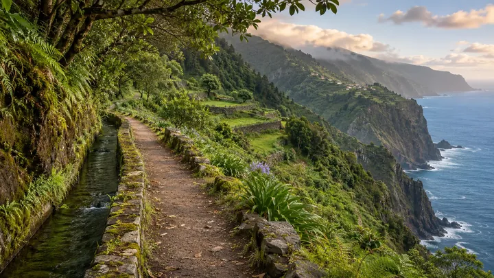
The channel keeps a gentle line through the valleys, with about 100 m of climbing in all and about two and a half hours of walking one way. On the way it passes waterfalls, among them the Poço das Casas and the Fôjo, and long stretches of the path run along steep slopes. The path is in poor condition in places, especially towards the northern end, so the walk suits sure-footed walkers who are happy to turn back where the way is broken.
When to come
A dry spell, since the north coast is often wet and the path is muddy and broken in places after rain.
Getting there
Start near the ER 220 by Lombo do Urzal or at the north end near the ER 211 by Pico do Alto, and arrange transport between the two, as the walk is one way.
Highlights
- Waterfalls on the way, among them the Poço das Casas and the Fôjo.
- The hamlet of Fajã do Penedo, one of the localities of Boaventura.
- A gentle channel line at 270 to 370 m, with about 100 m of climbing in all.
- Steep ground beside the path for long stretches.
The walk, start to finish
Before you go
Safety
Difficulty: moderate, with exposed stretches and a damaged path in places.
Bring
Footwear: boots with a good grip, as the north coast is often wet.
Worth knowing
Distance and time: about 9.2 km one way, about two and a half hours.
Climb: about 100 m in all.
Condition: worst towards the northern end; turn back where the path is broken.
Fee: none; this is not an official PR trail.