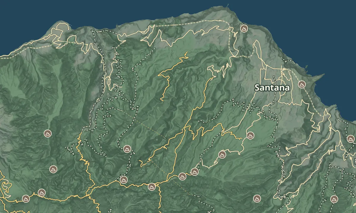
Vereda Achada do Teixeira - Fajã do Penedo
From Achada do Teixeira all the way down to the north coast
- Distance12.9 km · one way
- Time≈ 8 hr, 30 minEstimated from the route and the 5 m survey
- Climb↑ 1,710 m
- DifficultyHard
- From Funchal≈ 1 hr by carRoughly, by car from the middle of Funchal
The place
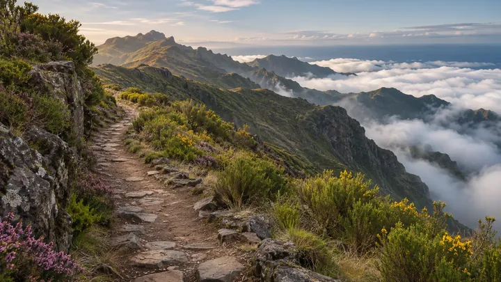
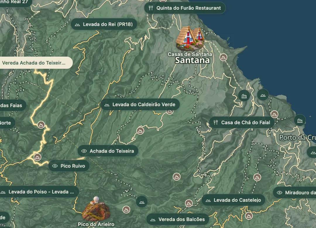
This route runs from Achada do Teixeira, a mountain settlement at about 1,600 m in the Santana municipality, down to Fajã do Penedo on the north coast. A fajã is a flat platform of land at the foot of the cliffs, so the walk finishes in a very different landscape from the high ground. At about 13 km one way, it is one of the longer walks that start from this settlement.
Cloud can gather on the high ground quickly, so check the forecast before you set off, and expect the air to warm as you drop towards the coast. The car park is also where the Pico Ruivo path, PR 1.2, begins, for anyone who wants a shorter outing. The walk is long enough that the return needs as much planning as the start.
When to come
Choose a clear morning in spring or autumn. Winter on the high ground can be cold, wet and at times snowy, and a walk of about 13 km leaves little margin for bad weather.
Getting there
Drive up the regional road ER 218 to the visitor car park at Achada do Teixeira and start walking there. The route is one way down to Fajã do Penedo, so arrange transport from the coast before you set off.
Highlights
- The fajã at the end is a flat strip of land below the cliffs, so the scenery changes sharply from the high ground.
- The walk is about 13 km one way, so plan the return from the coast before you set off.
- An early start gives the best chance of clear views from the high ground before cloud gathers.
- The Pico Ruivo path (PR 1.2) covers 2.8 km one way from the same car park and stays on the high ground.
The walk, start to finish
Before you go
Bring
Cloud can cover the high ground quickly, so carry an offline map or GPS track for the paths.
Bring water, food and a warm layer, since the start is high and the walk is long.
Worth knowing
The route is about 13 km one way, from Achada do Teixeira at about 1,600 m down to the coast.
The Pico Ruivo path (PR 1.2), which starts from the same car park, needs a SIMplifica booking, so book on the SIMplifica portal first if you plan to walk it.
Returning the same way means climbing back up to Achada do Teixeira, so allow extra time for the way back.
Walk early in the day so the return can be done in daylight.