Vereda da Cavaca
A steep path between the hills of Seixal and the forest near Fanal
- 3.2 km · one way
- ≈ 3 hr
- ↑ 800 m
- Hard
 Open on the island map
The walk, start to finish
At a glance
- Distance
- 3.2 km · one way
- Time
- ≈ 3 hr
- Climb
- ↑ 800 m
- Difficulty
- Hard
32.8089, -17.1263Open on the island map
The place
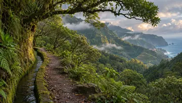
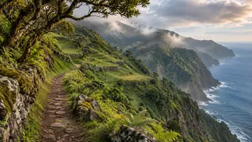
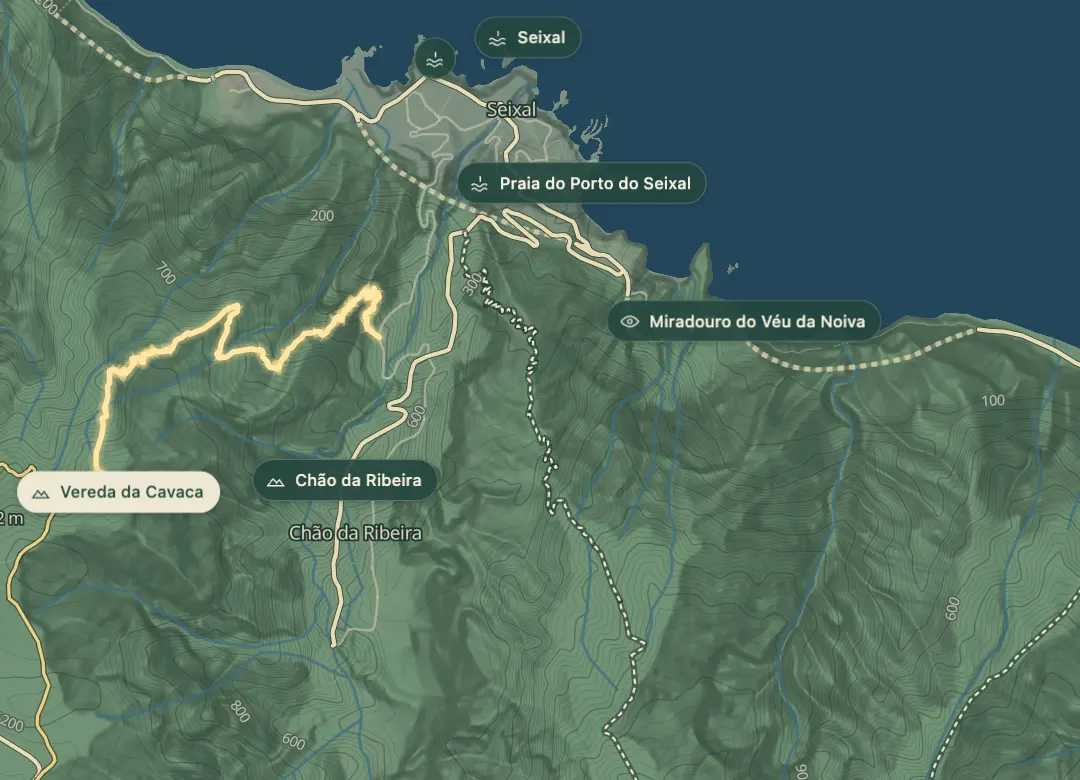
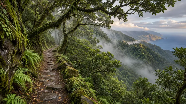
The Vereda da Cavaca is a steep, one-way walk in the north of the island, from Caminho Idelfonso de Castro in Seixal parish down to the forestry house on the ER 209 road near Fanal. It runs through Laurissilva forest, with glimpses of the northern coastline between the trees. The path is no longer in regular use, so it is a demanding day out rather than a stroll. Its highest point is 1,204 metres, so the weather can change quickly on the way down.
Parts of the old track have eroded and narrowed, and the ground underfoot is irregular and sharp. Fog and mist are common at this altitude, and temperatures can drop quickly, so carry warm layers. Cattle may graze along the way, so keep clear of them and avoid sudden movements. With no signposts at the start and a real risk of getting lost in fog, it is best done with a GPS track loaded.
Highlights
- The path runs through Laurissilva forest, with glimpses of the northern coastline between the trees.
- The walk runs downhill from Seixal parish to the forestry house on the ER 209 road.
- The old track is no longer in regular use, and parts of it have eroded and narrowed.
Plan your visit
Good to know
When to come, how to get there and what to know first.
When to come
Pick a clear, settled day, since fog and mist are common at altitude, and start early so that the 2.5 to 3 hour walk finishes in daylight.
Getting there
The walk starts at Caminho Idelfonso de Castro in Seixal parish, where there are no signposts, so have the GPS track ready before you set off. It finishes downhill at the forestry house on the ER 209 road, so arrange transport for that end.
Worth knowing
Facts checked November 1, 2026
The walk is 5.3 km one way and takes 2.5 to 3 hours on foot.
The highest point is 1,204 metres and the lowest is 356 metres.
The difficulty is high, and the walk suits only experienced, physically fit walkers.
Some spots along the edges are vertiginous, so keep well back from them.
Getting lost is a real risk in fog and mist, so keep the GPS track to hand.
Cattle may graze along the route, so keep clear and avoid sudden movements around them.
Beyond the walks
What else is there to do?
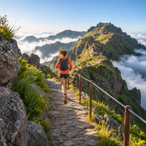 Trail runningFanal - Estanquinhos · 1.4 km
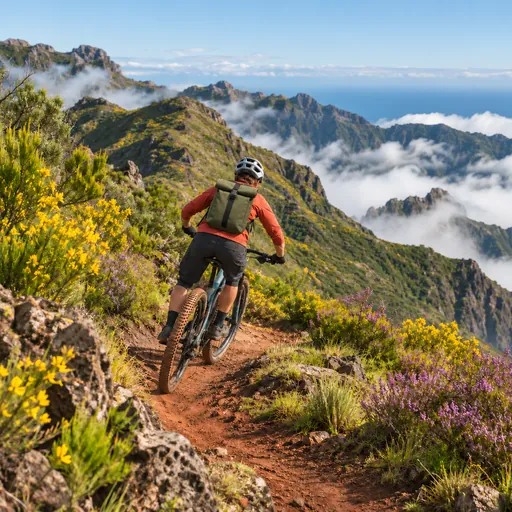 Mountain bikingA Lagoa - Montado do Fanal · 1.7 km
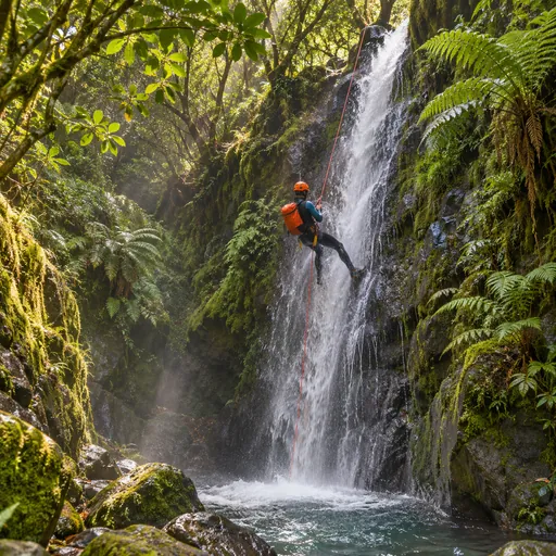 CanyoningRibeira Funda (Inferior) · 2.3 km
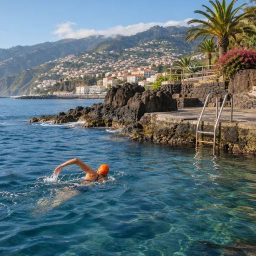 Open-water swimmingSeixal · 2.6 km
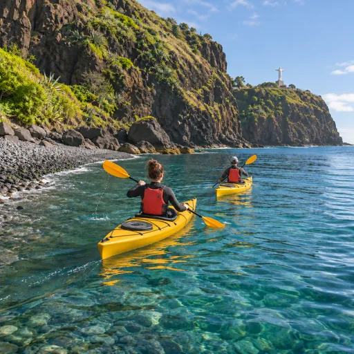 Sea kayakingSeixal · 2.6 km
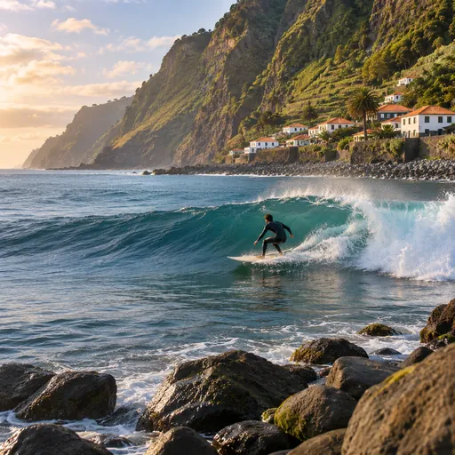 SurfingSeixal (Porto de Abrigo) · 2.6 km
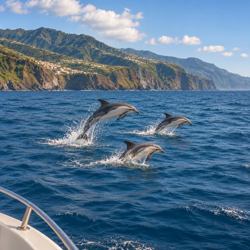 Whale and dolphin watchingCalheta · 11.3 km
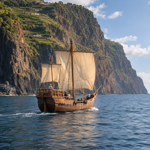 Boat tripsCalheta · 11.3 km
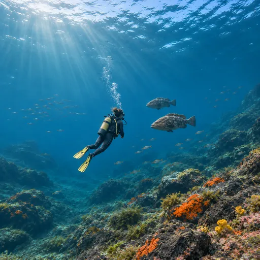 Scuba divingNaufrágio Bom Rei / Bow Belle · 11.8 km