- From Funchal≈ 1 hr, 15 min by carRoughly, by car from the middle of Funchal
- Parking220 m
Sources (1)
The place
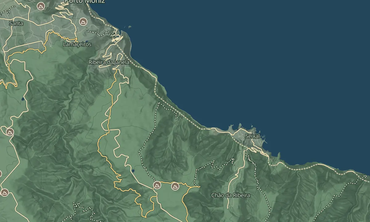
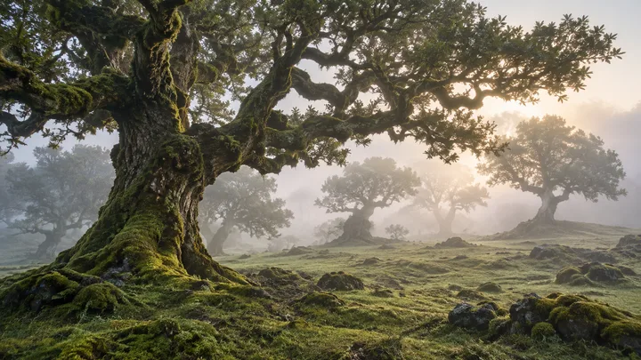
Fanal is a high area of old laurel forest on the north-west of the island, reached by the ER 209 regional road. The trees are the twisted, lichen-draped laurels of the laurisilva, a UNESCO World Heritage forest, and the walk through them runs between the forest and open moorland, inside Madeira National Park. In cloud the forest closes in around you, which is much of its appeal.
Go for the atmosphere rather than a view. Fog and mist are common at this height and the temperature can drop quickly, so the forest can be grey while the coast is in sun. The Vereda do Fanal is a long, one-way walk of 11.4 km, and the forest is a place to slow down, with a picnic area that is popular at weekends.
When to come
Fog and low cloud are common here, and the forest is most atmospheric when it is in them, so go prepared for cold and damp. For clear views of the coast, go on a calm morning.
Getting there
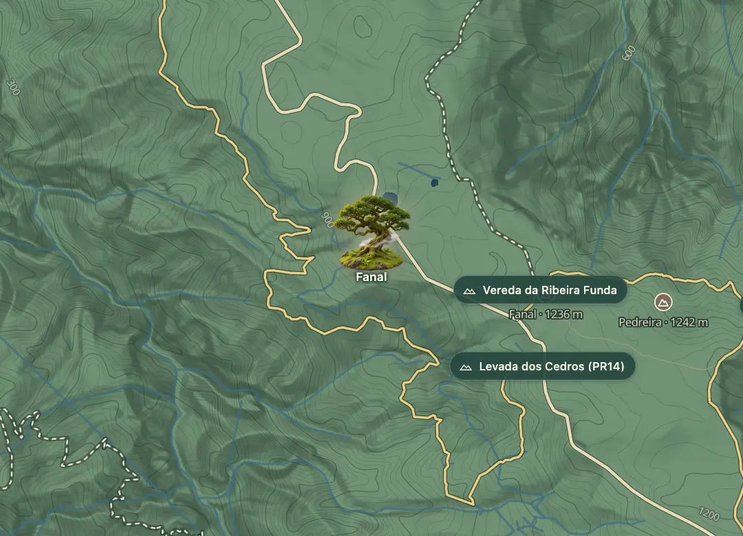
By car on the ER 209 regional road, where the walk starts at Pico dos Assobiadouros and finishes near a forestry house on the same road; the route is one way, so arrange transport in advance.
Highlights
- Lichen-draped Fetid Laurel and Canary Laurel trees, with tunnel-like passages through the vegetation in places.
- The moorland edge, where the laurel forest gives way to open ground.
- A picnic area, popular at weekends.
The view from here
Looking W
The horizon all round, measured on the island’s terrain. In sight: Gordo (1,264 m · 5.4 km, S); Bodes (1,280 m · 4.2 km, S); Fonte do Bispo (1,297 m · 3.6 km, SW); Fonte do Barro (1,167 m · 4.2 km, W); Bonito (1,123 m · 3.6 km, W); Fonte da Pedra (1,024 m · 4.4 km, NW); Terça (938 m · 5.4 km, NW).
Measured on the island’s terrain: what no nearer ridge hides · drag to look round
The light here today
- Sunrise
- —
- Sunset
- —
- Golden hour
- —
The view from here
What you see from here
Peaks, places and islands in sight from this spot, by the way they lie. The islands show on a clear day.
- SGordo1,264 m · 5.4 km
- SBodes1,280 m · 4.2 km
- SWFonte do Bispo1,297 m · 3.6 km
- WFonte do Barro1,167 m · 4.2 km
- WBonito1,123 m · 3.6 km
- NWFonte da Pedra1,024 m · 4.4 km
- NWTerça938 m · 5.4 km
Before you go
Safety
Fog and mist can come in fast, so carry the GPS track, which is free to download, and stay on the path.
Bring
Temperatures can fall quickly; bring warm layers and a waterproof, even in summer.
Bring water and food for the walk, and plan on the villages at either end for services.
Worth knowing
The Vereda do Fanal is 11.4 km one way, takes 4 to 4.5 hours and is rated medium, with altitudes between 1,105 and 1,437 m.
Book a lift in advance to Ribeira da Janela or Seixal, since the route is one way.
Expect cows on the path; they are large and sensitive, especially around young, so keep your distance.
Check your fitness and preview the GPS track before you set out.