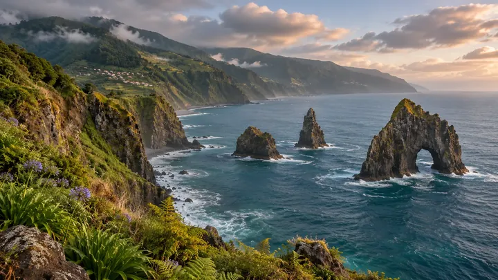
Miradouro dos Ilhéus da Ribeira da Janela
Three sea-stacks off the cliff, one pierced clean through by a natural window.
- Height above the sea25 m
- From Funchal≈ 55 min by carRoughly, by car from the middle of Funchal
- Parking80 m
- Café180 m
- Toilets90 m
Sources (1)
The place
Ribeira da Janela takes its name from the window: an opening in the rock at the summit of one of the islets just offshore, which looks like a window. The stream and the parish take their name from this opening, and the viewpoint frames it from the cliff top at the river mouth.
The viewpoint was inaugurated in 2009 and has a parking area beside it. Rock formations rise out of the sea at the river mouth, and the sea and islets show most clearly on a clear day. Late afternoon light suits photographs, as the low sun falls across the rock. The village of Ribeira da Janela sits near the river mouth, so the viewpoint pairs well with a short stop there.
When to come
Late afternoon, when the low sun falls across the rock; clear days show the islets best.
Getting there
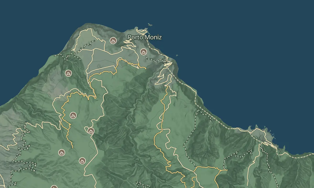
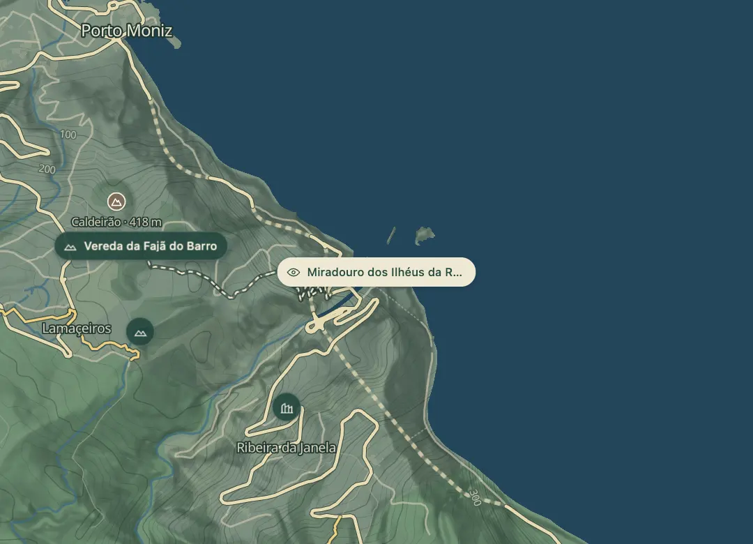
Drive to the viewpoint on the north-west coast and use a map app with 32.8553 N, 17.1531 W to find the stop.
Highlights
- An opening in the top of one islet looks like a window, and it gives the stream and the parish their name.
- Rock formations rise out of the sea at the river mouth below the viewpoint.
- The viewpoint was inaugurated in 2009 and has a parking area beside it.
- Clear days give the sharpest view of the islets.
The view from here
Looking E
The horizon all round, measured on the island’s terrain. In sight: Porto Santo (80 km, E); Casado (1,728 m · 19.2 km, SE); Ferreiro (1,582 m · 18.1 km, SE).
Measured on the island’s terrain: what no nearer ridge hides · drag to look round
The light here today
- Sunrise
- —
- Sunset
- —
- Golden hour
- —
The view from here
What you see from here
Peaks, places and islands in sight from this spot, by the way they lie. The islands show on a clear day.
- EPorto Santo80 km
- SECasado1,728 m · 19.2 km
- SEFerreiro1,582 m · 18.1 km
Before you go
Safety
Cliff edge: the lookout is above the sea, so keep back from the edge.
Worth knowing
Parking: a parking area is beside the viewpoint.
Coordinates: 32.8553 N, 17.1531 W.
Opened: 2009.
Weather: clear days give the sharpest view, so check the forecast before you go.