- Distance9 km · one way
- Time≈ 2 hr, 30 minEstimated from the route and the 5 m survey
- Climb↑ 30 m
- DifficultyModerate
- From Funchal≈ 1 hr, 20 min by carRoughly, by car from the middle of Funchal
Sources (3)
The place
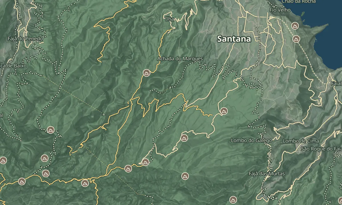
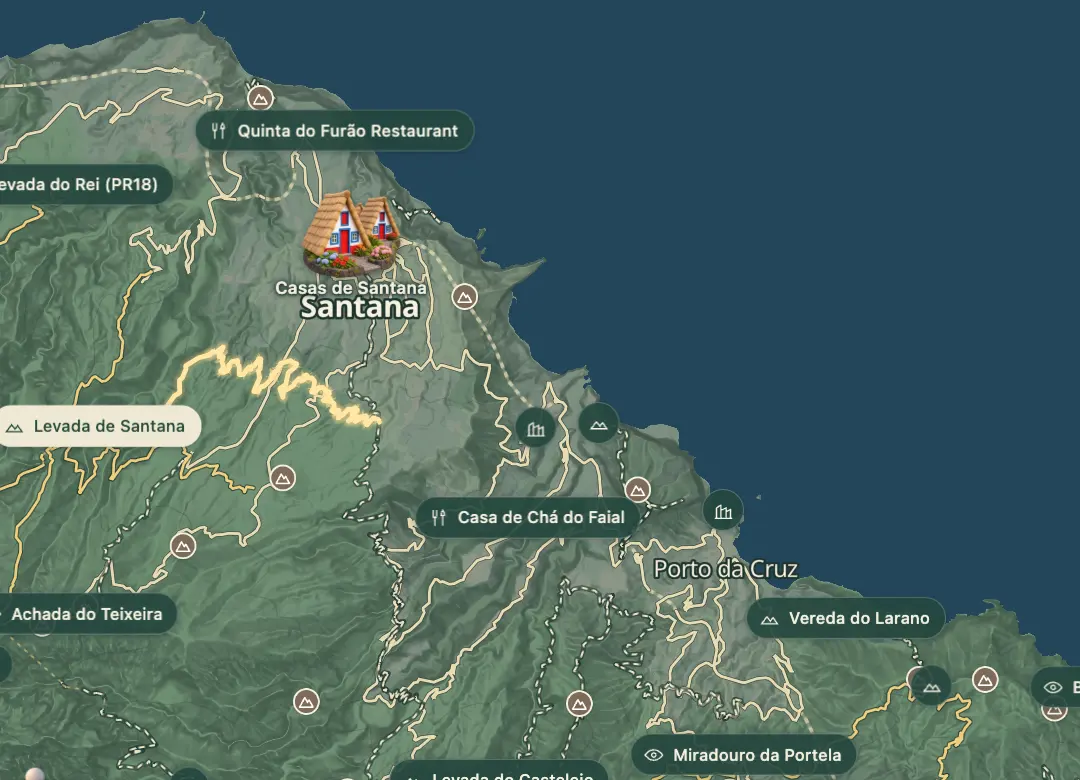
The Levada de Santana is a loop of about nine kilometres that starts and finishes at Queimadas Forest Park in the Santana municipality on Madeira's north shore. The loop is rated moderate and takes around two hours twenty minutes on foot. The park is the access point for several hiking trails, including PR 9, the Levada do Caldeirão Verde.
The shelter at Queimadas, the Casa de Abrigo das Queimadas, keeps the look of old Santana houses, with a thatched roof.
When to come
Start in the morning so the loop of about two hours twenty minutes finishes in daylight, and choose a dry day, since wet weather can make forest paths muddy.
Getting there
The loop starts and finishes at Queimadas Forest Park in the Santana municipality.
Highlights
- A loop of about nine kilometres from Queimadas Forest Park.
- Around two hours twenty minutes of walking on foot.
- The shelter at Queimadas keeps the thatched look of old Santana houses.
- The loop starts and finishes at the same park, so you walk back to where you began.
The walk, start to finish
Before you go
Bring
Wear sturdy footwear, since wet weather can make forest paths muddy.
Carry water and snacks for the walk.
Worth knowing
Allow about two hours twenty minutes for the loop.
The park gives access to a Pico das Pedras trail as well as PR 9.