- Distance38.6 km · one way
- Time≈ 15 hr, 30 minEstimated from the route and the 5 m survey
- Climb↑ 2,030 m
- DifficultyHard
- From Funchal≈ 40 min by carRoughly, by car from the middle of Funchal
- Bus stop 140 m
- Parking 160 m
- Café 150 m
The place
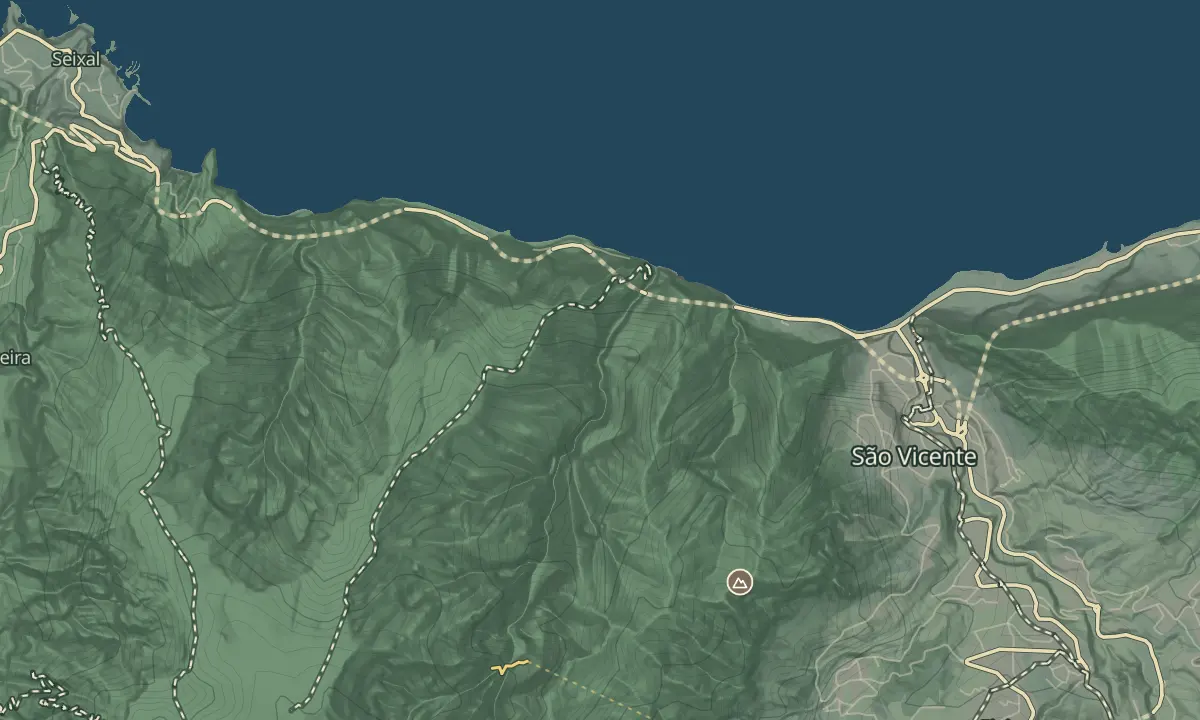
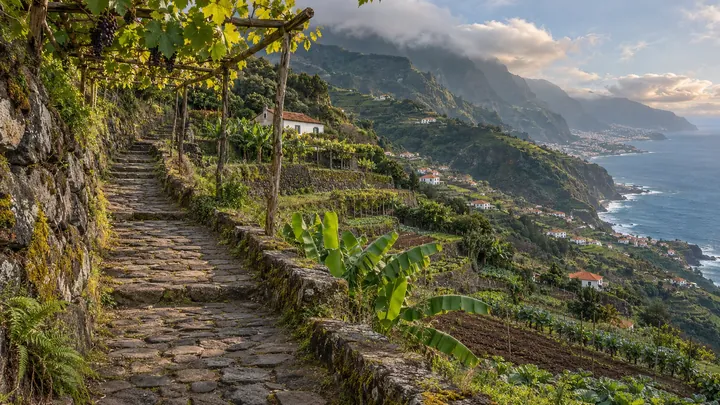
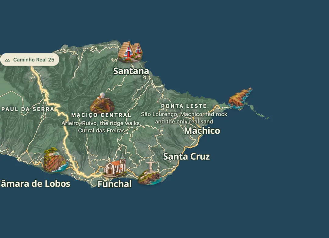
Caminho Real 25 links São Vicente on the north coast with Funchal on the south coast, a walk of about 38 km between the two ends. It is one of the six numbered Caminhos Reais, which were historic municipal footpaths and, before roads were built, the only way into villages.
It is a very hard walk with an estimated 15 and a half hours on foot, and the route runs from near sea level to about 1,340 m, with more than 1,900 m of climbing in total. Two days suit it better than one. The Caminho Real association's website has a GPX download for the route, which can be loaded onto a phone. Funchal, the island's capital, is where the walk finishes, so plan transport for the return.
When to come
Pick a dry, settled day in spring or autumn and start at first light, since the walk takes about 15 and a half hours on foot. Wet weather makes island paths muddy, so check the forecast the day before.
Getting there
Start at São Vicente on the north coast and finish in Funchal on the south coast, arranging a lift or taxi for the far end before you set out.
Highlights
- A long walk between the north-coast town of São Vicente and the capital, Funchal.
- The line runs from near sea level to about 1,340 m within a single walk.
- More than 1,900 m of climbing makes it a very hard walk.
- It is one of six numbered Caminhos Reais, historic footpaths that once linked the island's villages.
The walk, start to finish
Before you go
Bring
Carry water and food for a long day, since the route covers a wide range of altitude.
Pack a waterproof, since wet weather makes island paths muddy.
Worth knowing
Allow about 15 and a half hours on foot for the full route of about 38 km.
Rated very hard, with more than 1,900 m of climbing and a high point near 1,340 m.
The Caminho Real association's website has a GPX file for the route, which helps you follow the line.
Plan transport between São Vicente and Funchal before you start.