Miradouro do Véu da Noiva
A 30 m 'bridal veil' waterfall drops straight off the cliff into the Atlantic.

- Height above the sea75 m
- From Funchal≈ 45 min by carRoughly, by car from the middle of Funchal
- Parking50 m
- Café70 m
Sources (1)
The place
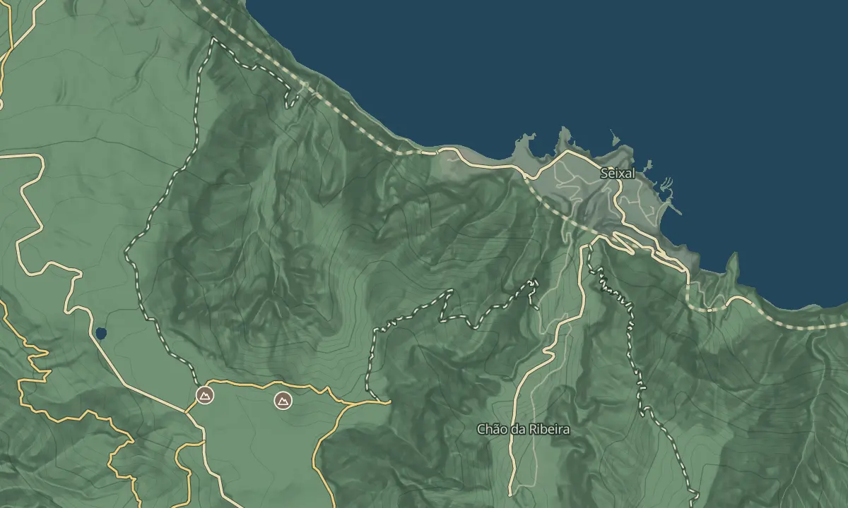
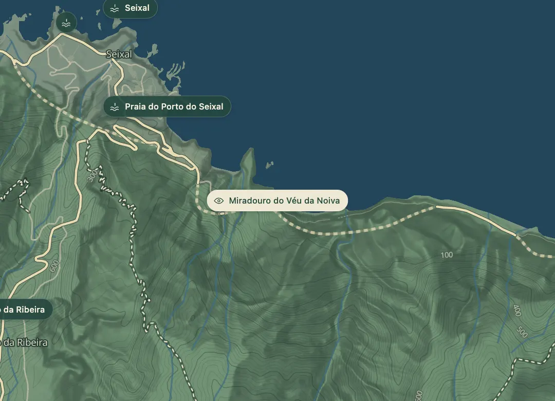
The Véu da Noiva, or bridal veil, is a waterfall that falls down the slope toward the sea between Seixal and São Vicente, from the suspended mouth of the Ribeira de João Delgado. The name refers to the height of the drop. The viewpoint sits on the old road that connects the two villages, so the fall comes into view as you drive along the coast.
The water gushes out in quantity, so the fall is best after a wet spell, when the stream carries the most water. The view opens over the Atlantic from the viewpoint, and the flow falls away in dry weather, so a visit in a dry spell may show a thin fall. Keep back from the edge, since the cliff drops to the sea.
When to come
After a wet spell, when the stream carries the most water; in dry weather the flow falls away.
Getting there
Drive the old road between São Vicente and Seixal and stop at the viewpoint; a map app with 32.8162 N, 17.0952 W finds it.
Highlights
- The water falls down the slope toward the sea, from the suspended mouth of the Ribeira de João Delgado.
- The viewpoint sits on the old road that connects São Vicente and Seixal.
- The water gushes out in quantity after rain, which is when the fall looks its fullest.
- The view opens over the Atlantic from the viewpoint.
The view from here
Looking NW
The horizon all round, measured on the island’s terrain. In sight: Porto Santo (76 km, E); Caldeirão (418 m · 8.2 km, NW); Praia do Porto do Seixal (83 m · 1 km, NW); Seixal (0 m · 1.7 km, NW).
Measured on the island’s terrain: what no nearer ridge hides · drag to look round
The light here today
- Sunrise
- —
- Sunset
- —
- Golden hour
- —
The view from here
What you see from here
Peaks, places and islands in sight from this spot, by the way they lie. The islands show on a clear day.
- EPorto Santo76 km
- NWCaldeirão418 m · 8.2 km
- NWPraia do Porto do Seixal83 m · 1 km
- NWSeixal0 m · 1.7 km
Before you go
Safety
Cliff edge: keep back from the edge, since the cliff drops to the sea.
Worth knowing
Access: on the old road connecting São Vicente and Seixal.
Coordinates: 32.8162 N, 17.0952 W.
Flow: depends on recent rain, so a wet spell gives the strongest fall.
View: the Atlantic opens out from the viewpoint.