Trails
Vereda do Urzal (PR2)
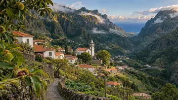
An old path over the mountains from Curral das Freiras to Boaventura

The place
Vereda do Urzal is the official PR2, a one-way route of 10.3 km from Fajã dos Cardos, in the parish of Curral das Freiras, to Lombo do Urzal, in the parish of Boaventura. IFCN gives it about 4 hours 30 minutes. The path climbs the whole way to Boca das Torrinhas and then descends the whole way to the finish, with heights between 519 m and 1,450 m.
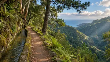
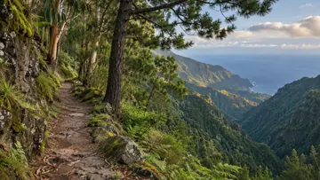
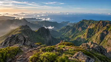
It follows an old path that people used to cross between the south and north coasts of the island. Boca das Torrinhas is a viewpoint over the peaks around Curral das Freiras, the valley below them and Pico Ruivo. From there a link along the PR1.3 Vereda da Encumeada leads to Pico Ruivo, at 1,862 m the island's highest peak; IFCN's register keeps the PR1.3 stretch between Boca das Torrinhas and Encumeada closed. On the way, the exotic vegetation near the start gives way to native high-altitude heath and laurissilva, the laurel forest that UNESCO listed as World Natural Heritage in December 1999.
Highlights
- The route follows an old path that people once used to cross between the island's south and north coasts.
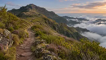
- Boca das Torrinhas, at the top of the climb, looks over Pico Ruivo and the peaks around the Curral das Freiras valley.
- Exotic vegetation near the start gives way to native high-altitude heath and laurissilva.
- From Boca das Torrinhas a link on the PR1.3 Vereda da Encumeada leads to Pico Ruivo, at 1,862 m the island's highest peak.
When to come
A settled day with an early start, as the walk takes about four and a half hours. The weather changes often on this crossing, and wet ground makes the path slippery.
Getting there
The route starts at Fajã dos Cardos, on the ER 107 in the parish of Curral das Freiras, where the panel map marks a bus stop by the trailhead. It ends at Lombo do Urzal, on the ER 232 in Boaventura; the panel map marks only an information panel there, so arrange a taxi or a lift for the way back.
Worth knowing
- Booking and fee: pay through SIMplifica; €4.50 in 2026 for visitors over 12, with children 12 and under exempt.
- Distance and time: 10.3 km one way, about 4 hours 30 minutes.
- Heights: between 519 m and 1,450 m.
- Difficulty: moderate; the path climbs the whole way to Boca das Torrinhas and descends the whole way after it.
- Caution: IFCN warns that the weather changes often and the ground can be slippery, so bring warm clothes and shoes with a good grip.
- Status: open on the IFCN list on 4 November 2026; check IFCN or SIMplifica before you go.