Trails
Caminho Real do Monte (PR3.1)
Down the old royal road to Monte, past the Pico Alto viewpoint

The place
Caminho Real do Monte is the official PR3.1, a one-way route of 4.2 km from the reception centre of the Funchal Ecological Park at Ribeira das Cales down to the historic centre of Monte parish. It takes about 2 hours, and Funchal's municipal council runs it. Heights stay between 550 m and 1,130 m; in all the route descends 640 m, steeply and mostly on stepped paths.
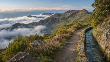
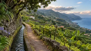
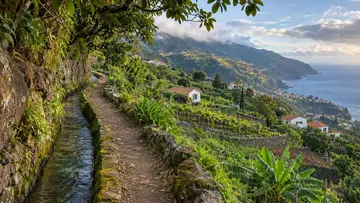
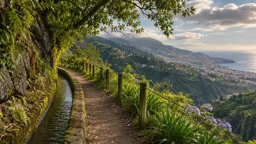
Right after the start the path crosses the Ribeira das Cales and the Levada das Cales, a municipal water channel dating from 1784. It passes a plant nursery and the Pico Alto viewpoint, at 1,129 m, with one of the widest views over the municipality of Funchal. Between Arrebentão and Lajinhas it follows Caminho Real n.º 24, the old way up into the Monte mountains and on to Santana. At Terreiro da Luta stands the Quinta do Terreiro da Luta, with the monument to Nossa Senhora da Paz a short detour away, and from Lajinhas the route passes Monte's main church, old quintas and the Monte gardens, with the Monte Palace Tropical Garden and Largo das Babosas in the centre.
Highlights
- Right after the start the path crosses the Levada das Cales, a municipal water channel dating from 1784.
- The Pico Alto viewpoint, at 1,129 m, gives one of the widest views over the municipality of Funchal.
- Between Arrebentão and Lajinhas the route follows Caminho Real n.º 24, the old way up into the mountains and on to Santana.
- In Monte it passes the main church and old quintas, with the Monte Palace Tropical Garden and Largo das Babosas in the centre.
When to come
A dry day, since the stone paving turns slippery when wet or overgrown and most of the descent is on steps. It follows on naturally from the PR3, which ends where this route starts.
Getting there
The route starts at the reception centre of the Funchal Ecological Park at Ribeira das Cales, where the panel map shows parking and toilets and where the PR3 from Pico do Areeiro ends. It finishes in the centre of Monte, which has a café and toilets, and where the wicker sledges and two cable car lines are other ways to see Funchal. If you left a car at Ribeira das Cales, arrange a lift or a taxi back up.
Worth knowing
- Distance and time: 4.2 km one way, about 2 hours, with a steep descent of 640 m.
- Heights: between 550 m and 1,130 m.
- Difficulty: moderate; most of the height is lost on stepped paths.
- Caution: the route crosses three roads with traffic, so take care at each crossing.
- Caution: between the plant nursery and Arrebentão, 1,300 m of the path is narrow and uneven in places.
- Caution: stone paving gets slippery when it is wet or overgrown.
- Status: open on the IFCN list on 4 November 2026; check IFCN before you go.