Levada Nova da Calheta
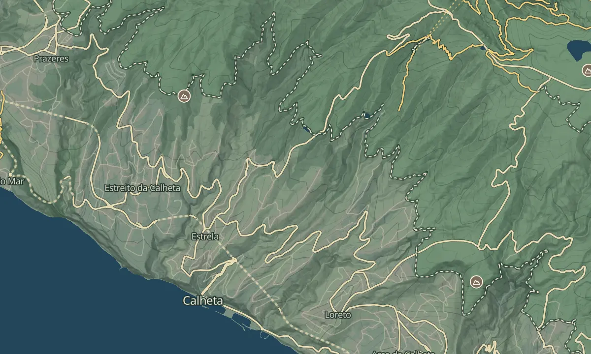
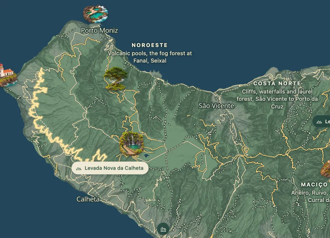
A long, flat walk from Calheta's power station west to Cabo
- Distance39.4 km · one way
- Time≈ 10 hrEstimated from the route and the 5 m survey
- Climb↑ 40 m
- DifficultyHard
- From Funchal≈ 50 min by carRoughly, by car from the middle of Funchal
Sources (3)
The place
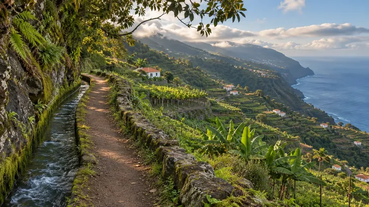
The Levada Nova da Calheta is a long, flat irrigation walk that starts at the hydroelectric power station above Calheta village and runs one way to Cabo on the ER 101. The walk is about 40 km and takes six to nine hours. It crosses many streams and runs through every civil parish in the municipality except Arco da Calheta, passing pines, eucalyptus, laurel-forest species in damp ground, farmland and fruit trees.
The route is rated for experienced walkers and stays at about 600 to 700 metres altitude throughout. A shorter stretch from Prazeres to Fajã da Ovelha is recommended for a day out. The levada was not built for cycling, so expect the occasional mountain biker on the narrower sections, and carry food and water for the whole distance.
When to come
Choose a dry day and start early, since six to nine hours is a long day on a route that runs one way, and wet ground makes the stream crossings harder.
Getting there
Drive from Funchal on the VR1 to Ribeira Brava, take the VE3 towards Ponta do Sol and Calheta, and at the Calheta village roundabout take the first exit onto the ER 222 towards the hydroelectric station, which is on your left. The walk ends at Cabo on the ER 101, so arrange transport at the finish.
Highlights
- The stream crossings on the Ribeiras da Calheta, Marinheiros, Moinhos, Seca and Funda.
- Laurel-forest patches in the damp ground, between the pines, eucalyptus and farmland.
- A steady line at about 600 to 700 metres altitude, which keeps the walk flat.
- The shorter Prazeres to Fajã da Ovelha stretch, the section recommended for a day out.
The walk, start to finish
Before you go
Bring
Footwear: comfortable shoes that suit the distance.
Supplies: carry enough food and drink for the full walk.
Worth knowing
Time: six to nine hours one way.
Distance: about 40 km one way.
Difficulty: rated experienced, with flat terrain.
Shorter option: Prazeres to Fajã da Ovelha, the section recommended for a day out.
Cycling: the levada was not built for cycling, so take care with mountain bikers on the narrow sections.