- Distance34.4 km · one way
- Time≈ 16 hrEstimated from the route and the 5 m survey
- Climb↑ 2,270 m
- DifficultyHard
- From Funchal≈ 50 min by carRoughly, by car from the middle of Funchal
- Parking 110 m
- Café 130 m
The place
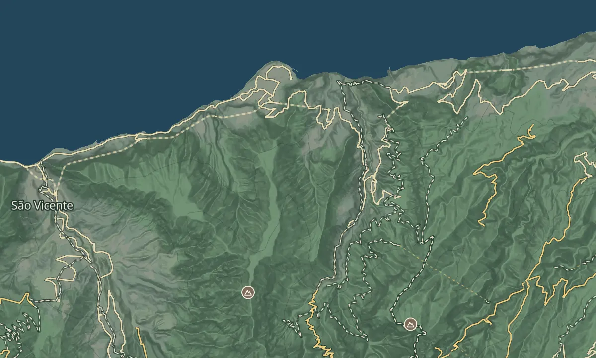
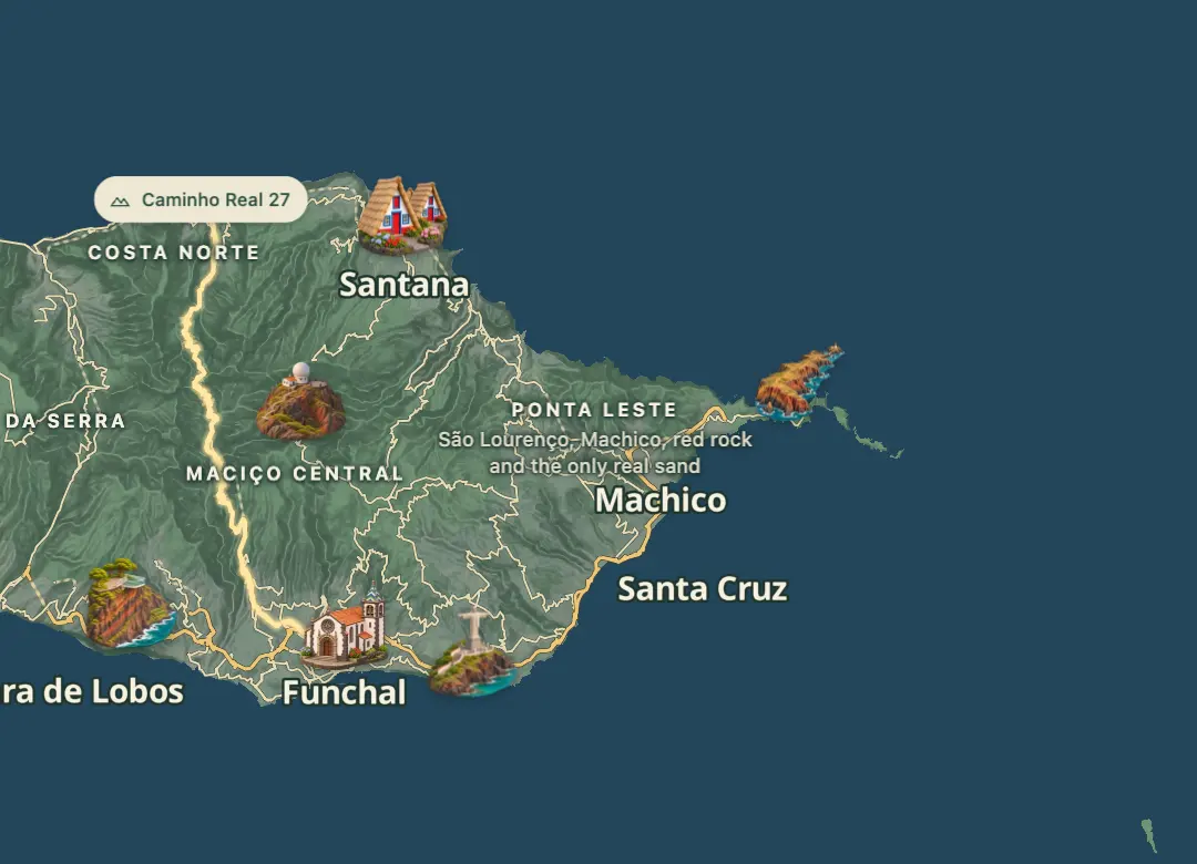
Caminho Real 27 is one of the six numbered Caminhos Reais, which were historic municipal footpaths and, before roads were built, the only way into villages. It is the long way across the island's mountains, roughly 35 km from Boaventura on the north coast down to Funchal on the south coast.
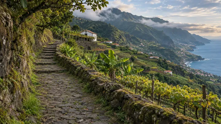
Expect a difficult walk, best split over two days, with high points above 1,000 m and switchback descents through forest. The route passes the Levada dos Tornos forest section and drops past Boca das Torrinhas to Fajã Escura. The suggested overnight stop is Curral das Freiras, a village surrounded by mountains, and the climb to Eira do Serrado, at about 1,100 m, has a viewpoint and a hotel. The last stretch follows the ER 107 road past gorge viewpoints into Funchal.
When to come
Dry weather in late spring or early autumn suits it best, since wet weather makes the forest paths muddy. Start early each day so the climbs are done in cooler hours.
Getting there
Start at Boaventura on the north coast and finish in Funchal, or walk the route in reverse, since it can be followed either way. Arrange a lift or taxi for the other end before you set out.
Highlights
- The suggested two-stage plan has an overnight at Curral das Freiras, about 18 km in.
- The Levada dos Tornos forest section follows a levada, the island's water channel.
- Eira do Serrado, at about 1,100 m, has a viewpoint and a hotel on the climb.
- The route ends in Funchal, after gorge views along the ER 107 road.
The walk, start to finish
Before you go
Bring
Wear shoes with good grip, since the route includes switchback descents through forest.
Worth knowing
Plan two days, with an overnight at Curral das Freiras, which lies about 18 km into the route.
Fajã Escura has a restaurant and a minimarket on the way, and Eira do Serrado has a hotel.
Wet weather makes forest paths muddy, so walk on a dry day.
The Caminho Real association's website has a GPX download for the route.