Levada do Norte (South)
Loops from Boa Morte on a channel high above the coast
- Distance29.4 km · one way
- Time≈ 7 hr, 30 minEstimated from the route and the 5 m survey
- Climb↑ 40 m
- DifficultyHard
- From Funchal≈ 25 min by carRoughly, by car from the middle of Funchal
- Tunnel: bring a torch
- Bus stop 820 m
Sources (2)
The place
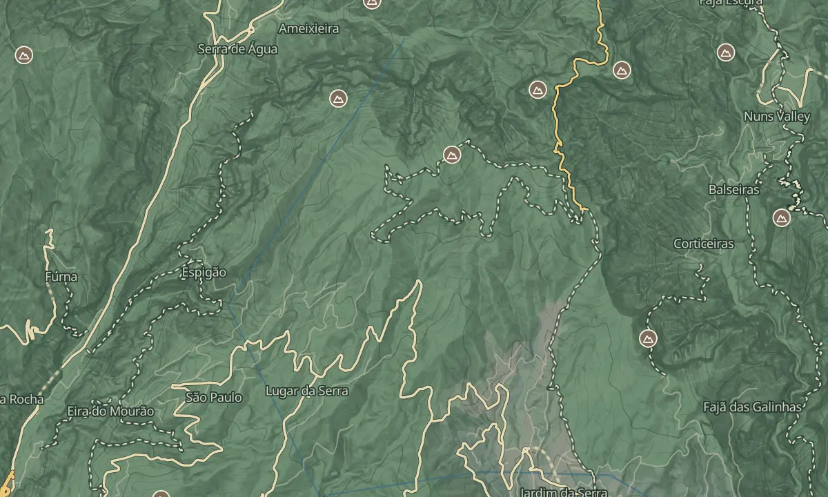
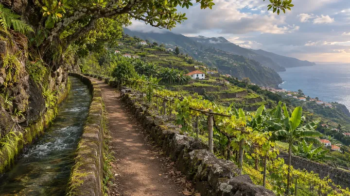
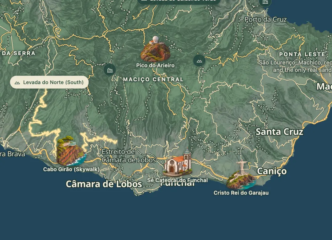
The south stretch of the Levada do Norte runs on the hillside above Ribeira Brava and the village of Campanário, carrying water from north to south. The channel itself runs about 29 km from Serra de Água to Estreito de Câmara de Lobos, almost level at 500 to 540 m, and walking all of it one way would take about seven and a half hours. From the higher paths the view reaches Câmara de Lobos and Cabo Girão, and the routes are walked as loops from Boa Morte.
Walks start on the levada at Boa Morte, at about 540 m, and climb the hillside, mixing levada paths, tunnels and staircases. The loops run from about 8 to nearly 17 kilometres, so you can choose a short morning or a long day on the same channel. Each loop returns to Boa Morte, so the start and finish are the same. The channel is rated moderate to challenging, and sure-footedness is required.
When to come
Start early in the morning on a dry day, since the longest loop from Boa Morte takes close to five hours.
Getting there
Drive up from Ribeira Brava to Boa Morte and park near the roundabout, where the loops start on the levada and climb towards Campanário. The bus stop there is called Levada do Norte - Boa Morte.
Highlights
- Climbs of 200 to 480 metres on the loops mean you should pick a loop to suit your fitness.
The walk, start to finish
Before you go
Safety
Wear sure-footed boots, as the sections need careful footing.
Bring
Bring a torch for the tunnels.
Carry water and food for the longer loops, which climb up to about 480 metres.
Worth knowing
Allow about two hours for the shortest loop of around 8 kilometres, and up to five hours for the longest at around 17 kilometres.
Choose one loop for the day rather than the whole channel.