Trails
Levada do Moinho (PR7)
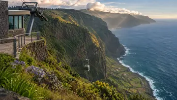
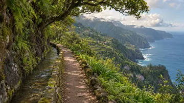
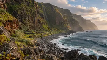
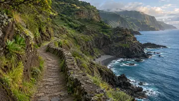
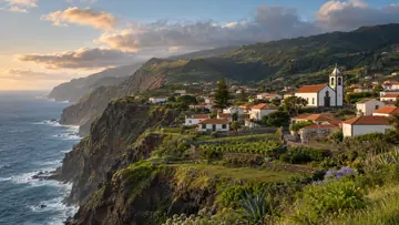
Past old mill ruins on the north-west levada from Ribeira da Cruz

The place
Levada do Moinho is the official PR7 in the north-west, not the levada of that name at Ponta do Sol. It runs one way for 10.5 km from Ribeira da Cruz, on the ER 101 where the stream divides the Porto Moniz and Calheta municipalities, past Junqueira to Lamaceiros in the parish of Porto Moniz. The panel gives about three and a half hours, with heights between 504 m and 940 m. IFCN listed it as closed on 4 November 2026.
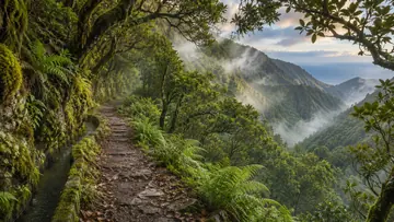
A footpath climbs from the road to the levada, and a short walk upstream reaches one of its springs. Walkers then turn and follow the water, staying in the laurissilva almost to the end; after the first kilometre's climb the path descends steadily. At Portas da Vila it meets the regional road near the Santa forest post, and beyond it side channels carry water through farm plots to irrigation tanks. The levada, also called Levada Grande, takes its name from a row of water mills: Visit Madeira names the ruins of the Achadas, Cancelas and Levada Grande mills, paid for by local people who alone held the right to the water.
Highlights
- A short spur upstream near the start to one of the springs that feed the levada.
- Laurissilva beside the levada almost all the way.
- The ruins of the Achadas, Cancelas and Levada Grande water mills, which gave the levada its name.
- Past Portas da Vila, side channels that carry water off through farm plots to irrigation tanks.
When to come
Once IFCN reopens it, choose a dry day, as some stretches are slippery, and start early enough to finish before dark.
Getting there
Head for Ribeira da Cruz on the ER 101 in the north-west, not for the Levada do Moinho at Ponta do Sol; the panel map shows a bus stop and an information board at the start. Midway the route crosses the regional road at Portas da Vila, where the map shows toilets, a picnic area, a forest guard post and another board. The route ends at Lamaceiros, so arrange a lift back or call a taxi; the panel lists +351 291 852 243.
Worth knowing
- Status: listed as closed by IFCN on 4 November 2026; check that it has reopened before you go.
- Booking and fee: pay through SIMplifica; €4.50 in 2026 for visitors over 12, with children 12 and under exempt.
- Distance and time: 10.5 km one way, from Ribeira da Cruz to Lamaceiros, about 3 hours 30 minutes.
- Heights: between 504 m and 940 m.
- Difficulty: moderate; the climb comes in the first kilometre, and the rest is a steady descent.
- Caution: IFCN warns that some stretches are slippery, so wear shoes with a non-slip sole.