Levada do Paul II – Um Caminho para Todos (PR6.8)
A level 1.2 km levada path at 1,280 m, built for everyone
- Closed
- 1.2 km · one way
- 30 min
- ↑ 0 m
- Easy
- 1280 m above the sea
- Bus stop 40 m away
IFCN trail status on Nov 12, 2026
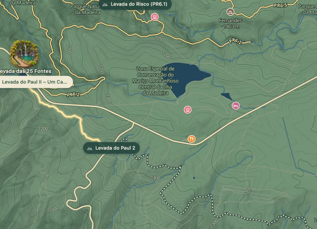 Open on the island map
The walk, start to finish
At a glance
- Distance
- 1.2 km · one way
- Time
- 30 min
- Climb
- ↑ 0 m
- Difficulty
- Easy
32.7537, -17.1331Open on the island map
The place
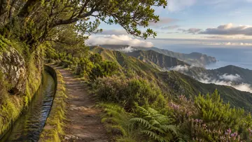
Levada do Paul II – Um Caminho para Todos is the official PR6.8: 1.2 km along the Levada do Paul II from the Rabaçal loading chamber on the ER 105 to the Estrada do Rochão, where walkers turn back, 2.4 km in all. The panel gives 30 minutes one way, and the path is level, between 1,279 m and 1,280 m. Its name means 'a path for everyone': it was prepared so that anyone, including people with reduced mobility, can take a quiet walk in nature.
The levada begins at the Juncal stream, in the basin of the Ribeira da Ponta do Sol, and with the Levada do Paul I, or Levada do Alecrim, it fills the Rabaçal loading chamber; from there the water drops by pipe to the Calheta hydroelectric power station. To the south the path looks over the ridges typical of Calheta, known locally as lombos, lombinhos and lombadas, and the panel marks a viewing spot along the way and a chapel by the start. Four more official routes set off nearby, among them the Levada das 25 Fontes and the Levada do Risco.
Highlights
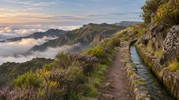
- A level path along the Levada do Paul II at about 1,280 m, prepared so that people with reduced mobility can walk it too.
- Views south over the ridges of the Calheta municipality, known locally as lombos, lombinhos and lombadas.
- A viewing spot along the levada, marked on the panel map as a place to stop and look.
- The Rabaçal loading chamber at the start, filled by this levada and the Levada do Paul I, from which the water drops by pipe to the Calheta hydroelectric power station.
Plan your visit
Good to know
When to come, how to get there and what to know first.
When to come
A clear day, for the views south over Calheta. At about 1,280 m the weather changes often, so bring warm clothing.
Getting there
The route starts by the Rabaçal loading chamber on the ER 105; the Calheta municipality's walking page notes a parking area just north of the reservoir there. The panel marks an information board at both ends. Walkers come back the same way from the Estrada do Rochão; for a lift instead, the panel lists taxis in Calheta, +351 291 822 129, and Arco da Calheta, +351 291 822 423.
Worth knowing
Facts checked November 4, 2026
Booking and fee: pay through SIMplifica; €4.50 in 2026 for visitors over 12, with children 12 and under exempt.
Fee exemption: the IFCN register also exempts people with a disability of 60% or more, and the tutors who go with them, on showing proof.
Distance and time: 1.2 km one way, about 30 minutes; back the same way, 2.4 km in all.
Heights: between 1,279 m and 1,280 m.
Difficulty: no source grades it; we call it easy because it is level and was built for everyone.
Caution: IFCN warns that the weather changes often, so bring warm clothing.
Status: open on the IFCN list on 4 November 2026; check IFCN or SIMplifica before you go.
Beyond the walks
What else is there to do?
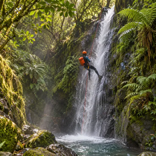 CanyoningRibeira do Alecrim · 0.4 km
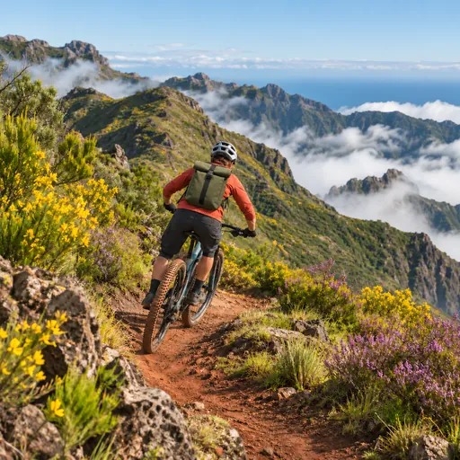 Mountain bikingPico Gordo - Garagem - Lombo da Atouguia · 1.6 km
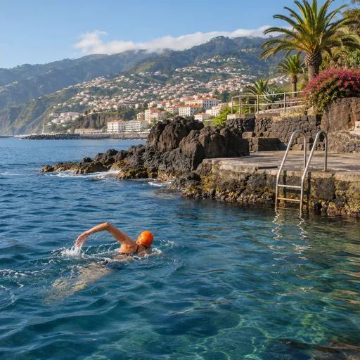 Open-water swimmingPraia da Calheta · 5.6 km
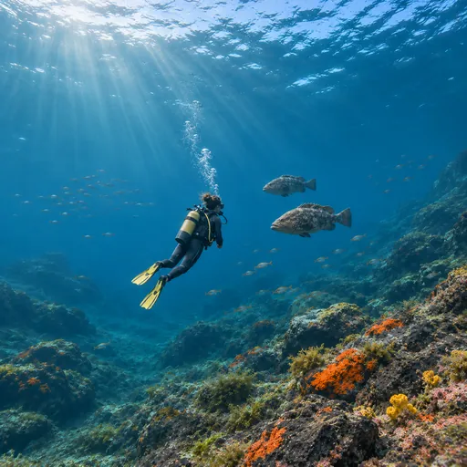 Scuba divingNaufrágio Bom Rei / Bow Belle · 5.7 km
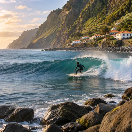 SurfingMadalena do Mar · 5.7 km
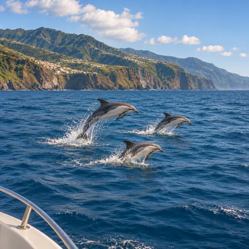 Whale and dolphin watchingCalheta · 6.2 km
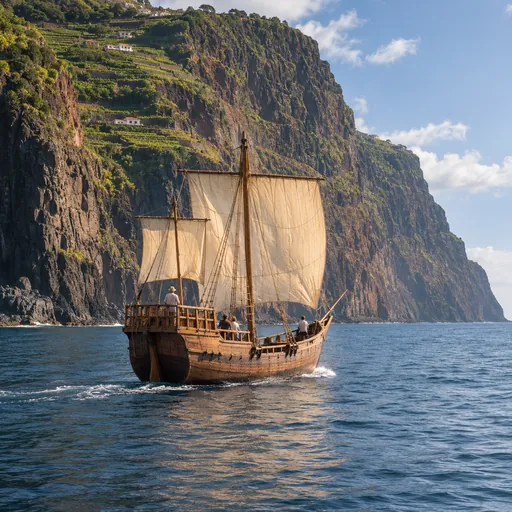 Boat tripsCalheta · 6.2 km
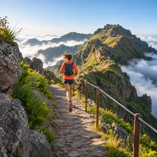 Trail runningFanal - Estanquinhos · 6.3 km
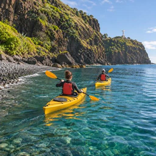 Sea kayakingSeixal · 8.1 km