Levada do Curral
From Curral das Freiras past a village you can only reach on foot
- Distance10.2 km · one way
- Time≈ 3 hrEstimated from the route and the 5 m survey
- Climb↑ 210 m
- DifficultyModerate
- From Funchal≈ 35 min by carRoughly, by car from the middle of Funchal
- Bus stop 30 m
- Café 330 m
The place
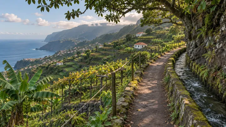
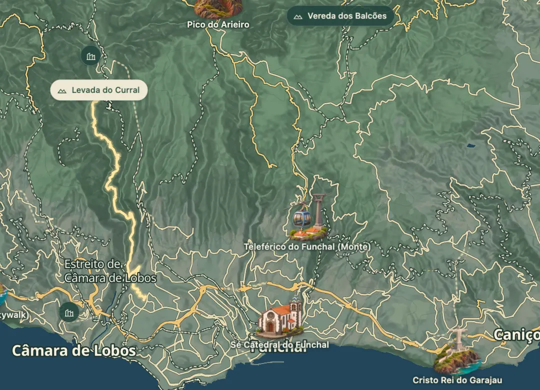
The Levada do Curral starts at Curral das Freiras, the bowl-shaped village in the mountains above Câmara de Lobos, where its water is drawn off. The channel was cut to irrigate fields in Santo António, Santa Quitéria and São Martinho, so the walk follows the water down towards the Funchal side of the island. It was made for farming, not for walkers.
On the way it passes Fajã do Poio, a deserted village that can only be reached along this channel. The route is roughly 10 kilometres and takes four to five hours on foot, so it is a full half-day in the mountains. Wet weather makes levada and forest paths muddy, so take care underfoot.
When to come
Go in the morning on a clear day so you have the full daylight for four to five hours on foot and reach the far end well before dark.
Getting there
Drive up to Curral das Freiras from Funchal or Câmara de Lobos and start the walk from the village, since the route is point to point and needs transport at the far end.
Highlights
- Fajã do Poio is a deserted village that can only be reached along the channel.
- The channel was built to carry water from Curral das Freiras to fields near Santo António, Santa Quitéria and São Martinho.
- The walk is about 10 kilometres and takes four to five hours on foot.
- The route runs point to point between Curral das Freiras and the Funchal side, so transport at the far end is needed.
- Wet weather makes the paths muddy, so good footwear matters.
The walk, start to finish
Before you go
Bring
Carry water, food and a torch for a walk of this length.
Wet weather makes the paths muddy, so wear footwear with good grip.
Worth knowing
Allow four to five hours on foot for the roughly 10-kilometre walk, plus time for the return transport.
The route is point to point, so arrange transport from the far end before you set out.
Keep a fully charged phone with you.