Vereda da Atalaia
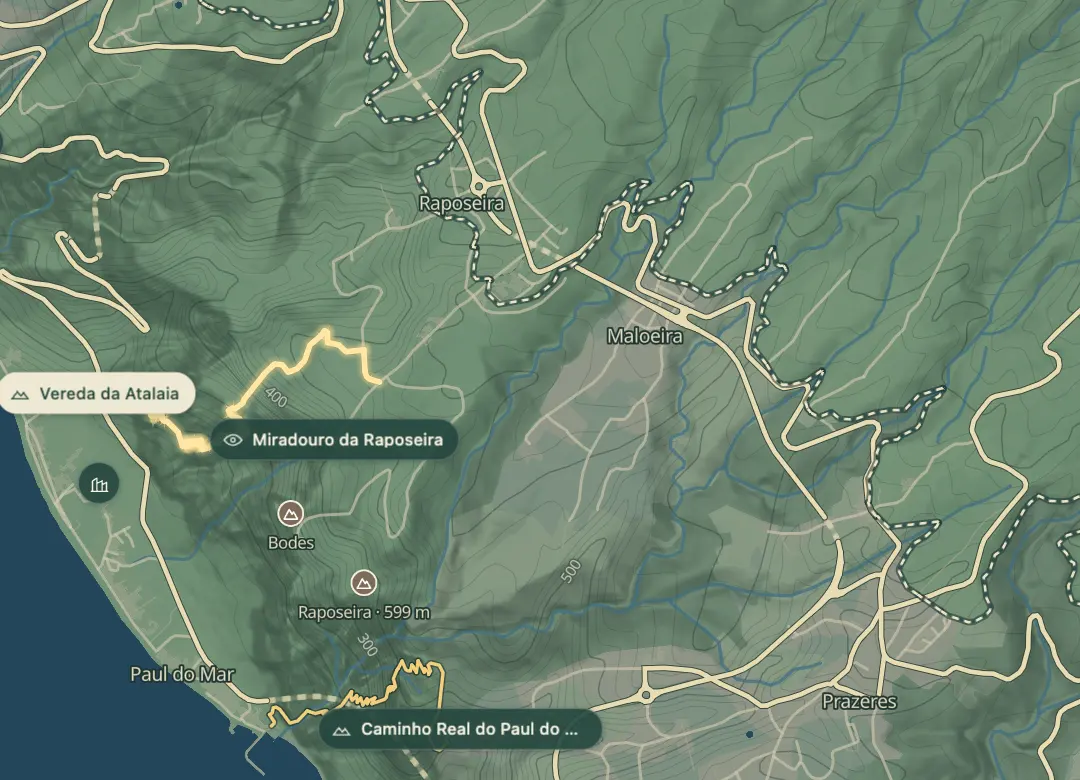
A steep path down from the hills to the road near Paul do Mar
- Distance1.9 km · one way
- Time≈ 2 hrEstimated from the route and the 5 m survey
- Climb↑ 530 m
- DifficultyHard
- From Funchal≈ 50 min by carRoughly, by car from the middle of Funchal
- Bus stop 1.2 km
Sources (2)
The place
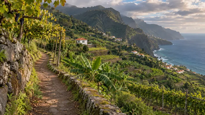
The Vereda da Atalaia is a one-way path that runs downhill from Caminho do Aviceiro to the lower road near Paul do Mar, on Madeira's south-west coast. It passes farmland with grazing cattle and wheat, with dry-stone walls marking the fields. At under two kilometres it is short, but the steep, irregular ground makes it more demanding than its length suggests.
The surface is stone, gravel and soil, and the path has no protection or safety barriers on its exposed stretches, so it suits experienced walkers. Walking poles and sturdy footwear help on the steep sections, particularly after rain. Along the way the views open out over the Atlantic and the parish of Paul do Mar. The optional Lombinho continuation starts from a stairway off the ER 223 road, passes banana plants and ends on Paul do Mar's main road, which makes for a longer day.
When to come
Choose a dry day, because the steep, irregular surface is harder to walk on when wet, and start early enough to finish comfortably in daylight.
Getting there
From Funchal, take the VR1 to Ribeira Brava, then the VE3 towards Ponta do Sol and Calheta, and leave it at Raposeira, where it ends. Take the first exit for ER 101 and turn right for Caminho do Aviceiro, the trailhead.
Highlights
- Farmland with grazing cattle and wheat, framed by dry-stone walls, lines the way down.
- Views over the Atlantic and across the parish of Paul do Mar open up as you descend.
- The optional Lombinho continuation passes banana plants on its way to the main road through Paul do Mar.
- The stone, gravel and soil surface is steep and irregular, so careful footing matters all the way down.
The walk, start to finish
Before you go
Safety
Only experienced walkers should attempt it, as the path is steep and irregular, with no barriers on the exposed sections.
Bring
Take walking poles and footwear with good grip, particularly in wet weather.
Worth knowing
The main path is about 1.9 km one way, and the walk takes roughly one to two hours on foot.
Because the walk is one way, arrange a lift or a second car for the lower end.
The municipality offers a GPS track to download, which helps you find the start at Caminho do Aviceiro.