Vereda da Levada do Caniçal
A long, nearly level levada from Caniçal to Maroços
- Distance12 km · one way
- Time≈ 3 hrEstimated from the route and the 5 m survey
- Climb↑ 60 m
- DifficultyModerate
- From Funchal≈ 30 min by carRoughly, by car from the middle of Funchal
- Bus stop 30 m
- Parking 190 m
- Water On site
- Café 170 m
Sources (2)
The place
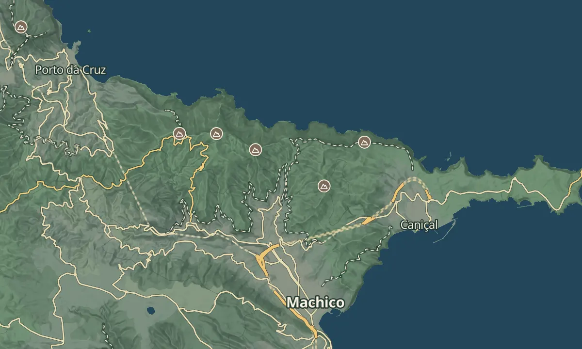
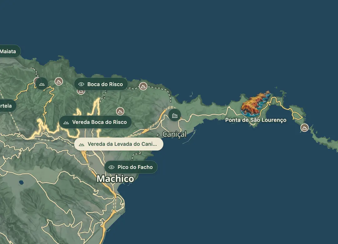
The Levada do Caniçal runs along the hills between the Machico valley and Caniçal, at the eastern end of the island. This route follows it for about 12 km, from the Paraíso viewpoint and its fountain above Caniçal to Maroços in the Machico valley, near the VE 1.
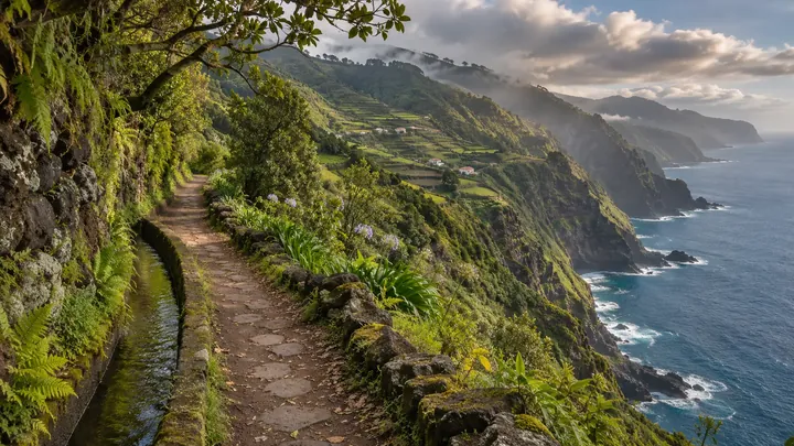
The channel holds its height at about 215 to 255 m, so there is only about 60 m of climbing in all, and the walk takes about three hours one way on a gentle, well-kept path. It passes hamlets such as Pastel, Nóia and Moinho da Serra, a wayside shrine, several viewpoints and a short tunnel of about 40 m. At Maroços a bar stands by the old Abel watermill, and the Caniçal end has a restaurant and a bus shelter, so the walk works well one way with a bus back.
When to come
Any dry day; bring sun protection for the open stretches.
Getting there
Start at the Paraíso viewpoint on the Estrada Tristão Vaz Teixeira above Caniçal, by a bus shelter, and finish at Maroços, where buses run back to Machico.
Highlights
- A nearly level channel at 215 to 255 m for about 12 km.
- The Paraíso viewpoint and fountain at the Caniçal end.
- Hamlets, a wayside shrine and the Abel watermill along the way.
- Bus stops at both ends, so it works as a one-way walk.
The walk, start to finish
Before you go
Worth knowing
Distance and time: about 12 km one way, about three hours.
Climb: about 60 m in all.
Difficulty: moderate only for the length; the path is easy.
Tunnel: a short one of about 40 m; a phone light is enough.
Food and drink: a restaurant at the Caniçal end, and bars along the way and at Maroços.
Fee: none; this is not an official PR trail.