Pico do Facho
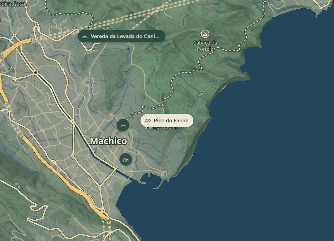
280 m roadside viewpoint over Machico bay and the Desertas Islands.
- Height above the sea280 m
- From Funchal≈ 35 min by carRoughly, by car from the middle of Funchal
- ToiletsOn site
- Bus stop1 km
Sources (1)
The place
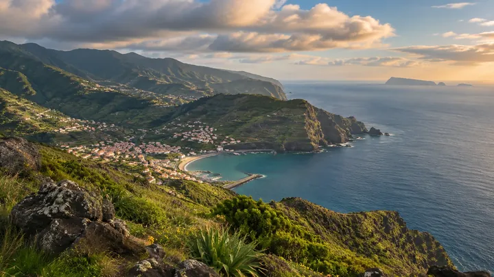
Pico do Facho is a 280 m lookout north of Machico, where large bonfires were lit in the old days to warn the town of enemy vessels. The name refers to the torch, and from the top the Machico valley and the town lie spread out below. Plan a late-afternoon stop, when the light falls across the bay.
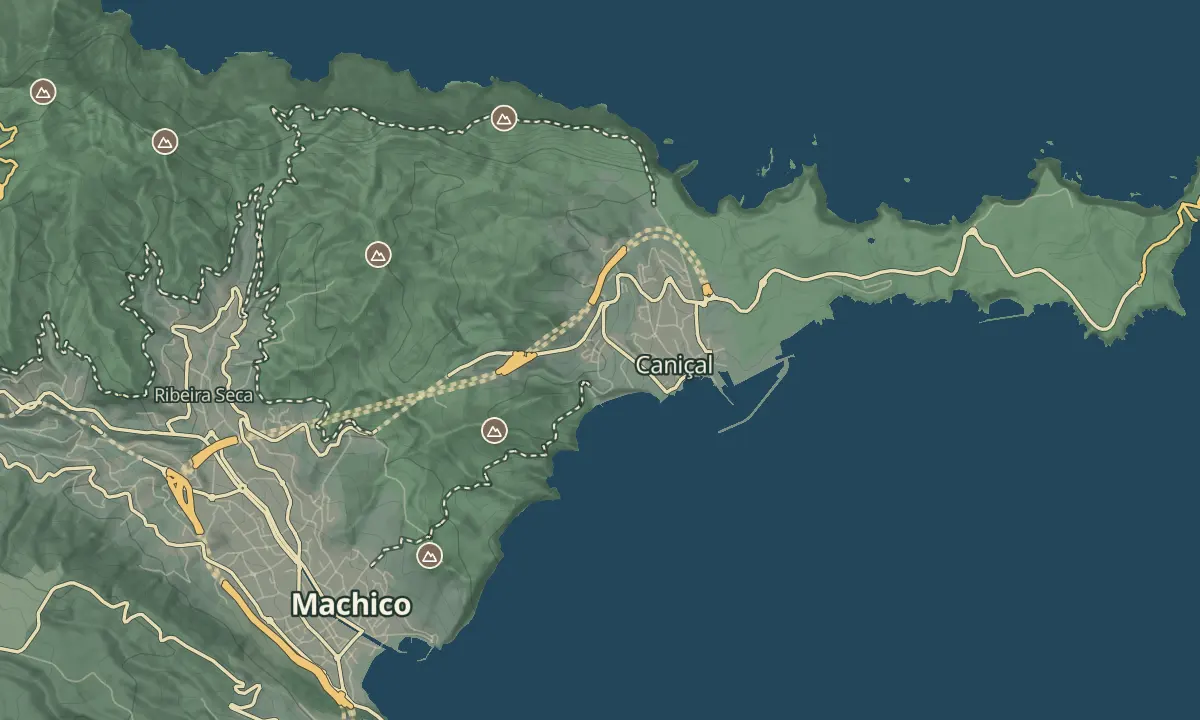
Looking out from the summit, the Desertas Islands lie to the south-east, with Ilhéu Chão, Deserta Grande and Bugio, and the central peaks of the island stretch inland. Ponta de São Lourenço sits on the eastern tip beyond the valley. A path climbs to the summit before the Caniçal tunnel, so the lookout fits easily into a drive east from Machico. The view is best on a clear day, when the islands show clearly.
When to come
A late-afternoon stop, when the light falls across the bay, and a clear day for the Desertas Islands.
Getting there
Drive out of Machico towards the Caniçal tunnel; the path to the summit starts before the tunnel, so the lookout sits just north of the town.
Highlights
- Large bonfires were lit here in the old days to warn the town of enemy vessels.
- The Machico valley and the town lie spread out below the summit.
- The Desertas Islands, Ilhéu Chão, Deserta Grande and Bugio, lie to the south-east.
- Ponta de São Lourenço sits on the eastern tip beyond the valley.
The view from here
Looking SW
The horizon all round, measured on the island’s terrain. In sight: Machico (20 m · 0.8 km, SW); Pico do Arieiro (1,818 m · 16 km, W); Pico das Torres (1,851 m · 16.8 km, W); Pico Ruivo (1,862 m · 17.7 km, W); Achada do Teixeira (1,592 m · 15.9 km, W); Pedreiro (972 m · 9.1 km, W); Furado (594 m · 3.8 km, NW).
Measured on the island’s terrain: what no nearer ridge hides · drag to look round
The light here today
- Sunrise
- —
- Sunset
- —
- Golden hour
- —
The view from here
What you see from here
Peaks, places and islands in sight from this spot, by the way they lie. The islands show on a clear day.
- SWMachico20 m · 0.8 km
- WPico do Arieiro1,818 m · 16 km
- WPico das Torres1,851 m · 16.8 km
- WPico Ruivo1,862 m · 17.7 km
- WAchada do Teixeira1,592 m · 15.9 km
- WPedreiro972 m · 9.1 km
- NWFurado594 m · 3.8 km
Before you go
Bring
Footwear: wear shoes with grip for the path up.
Worth knowing
Altitude: 280 m.
Access: the path to the summit starts before the Caniçal tunnel, so the lookout is easy to reach from Machico.
Views: the Machico valley, the Desertas Islands and the central peaks, with Ponta de São Lourenço on the eastern tip.
Visibility: the Desertas Islands show best on clear days.
Pairing: the town of Machico sits in the valley below, so combine the stop with a visit to the town.