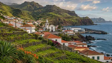
Machico
Madeira's 1419 founding town, with the island's longest sandy beach.
- 3 m above the sea
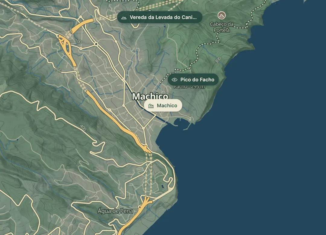 Open on the island map
At a glance
32.7188, -16.7638Open on the island map
Towns & villages
In and around Machico
The place
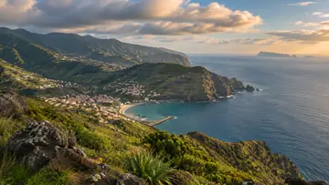
Machico is where Madeira's recorded history begins. João Gonçalves Zarco and Tristão Vaz Teixeira came ashore on its beach on 1 July 1419, and the town has grown into the main hub of the island's east coast. The municipality had 21,828 residents at the 2011 census, spread across five parishes, and it takes in Ponta de São Lourenço at the island's eastern tip.
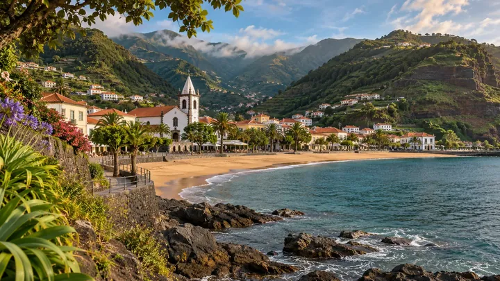
The Forte de Nossa Senhora do Amparo guards the bay. It was built in 1706 with a triangular plan that covers both sides of the water against pirates and privateers. The town beach is short, about 125 m, with golden sand imported from Morocco, a lifeguard in the bathing season and calm, crystal-clear water. Changing cabins, showers and toilets are on site, along with access for people with reduced mobility.
Highlights
- The Forte de Nossa Senhora do Amparo, built in 1706, has a triangular plan that covers both sides of the bay.
- The town beach is about 125 m long, with golden sand imported from Morocco and a lifeguard in the bathing season.
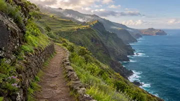
- The Ponta de São Lourenço walk starts and finishes at Ponta do Caniçal, a 10 km round trip of about two hours.
- Changing cabins, showers, toilets and access for people with reduced mobility are all on the beach.
Plan your visit
Good to know
When to come, how to get there and what to know first.
When to come
Summer for a swim, when the lifeguard is on duty. The fort and the old town suit any season.
Getting there
Park at the beach car park by the bay and walk to the fort and the old town. The Ponta de São Lourenço walk starts at Ponta do Caniçal, further east.
Worth knowing
Facts checked November 1, 2026
Beach: about 125 m long, golden sand imported from Morocco, with a lifeguard during the bathing season.
Facilities: changing cabins, showers, toilets, a parking area, access walkways, reduced-mobility access and leisure and sports equipment.
Water: calm and crystal clear.
Ponta de São Lourenço: a 10 km round trip from Ponta do Caniçal, about two hours, rated easy.
Ponta de São Lourenço permit: €4.50 in 2026 for visitors over 12; children 12 and under go free. Pay on SIMplifica.
The peninsula is a partial nature reserve, so keep to the marked path.
The peninsula has little vegetation, so bring water and sun cover.
Beyond the walks
What else is there to do?
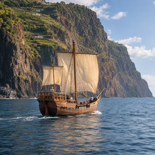 Boat tripsMachico · 0 km
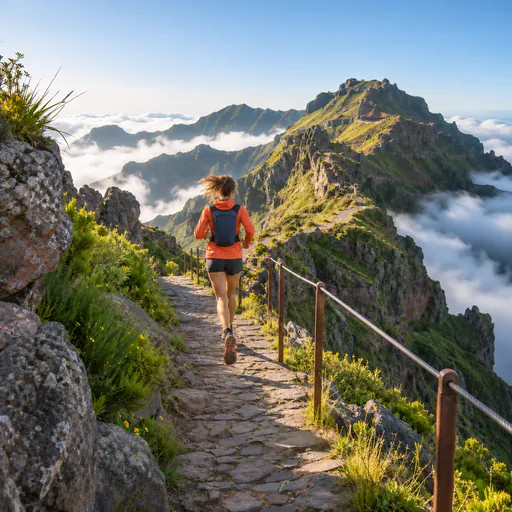 Trail runningMachico Trail Curto · 0.2 km
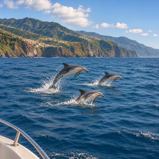 Whale and dolphin watchingMachico · 0.2 km
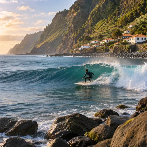 SurfingS. Roque · 0.2 km
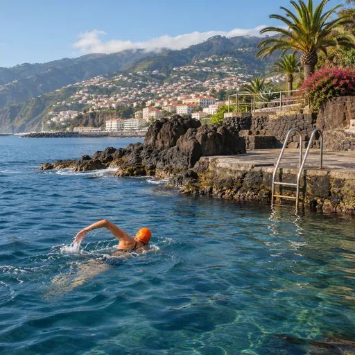 Open-water swimmingPraia da Ribeira do Natal (Caniçal) · 2.6 km
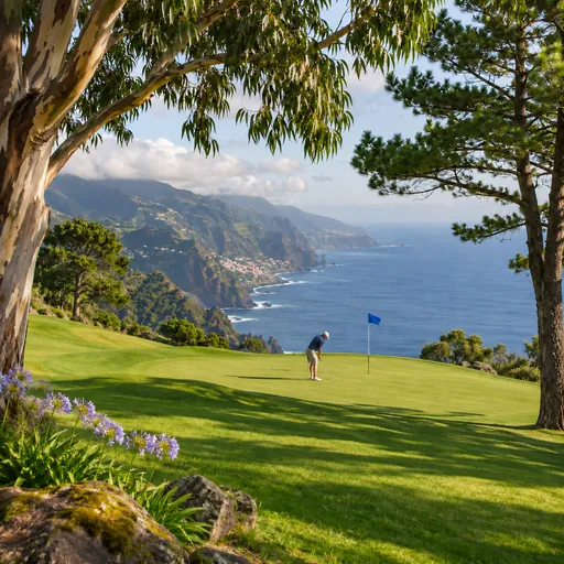 GolfSanto da Serra Golf Club · 3.8 km
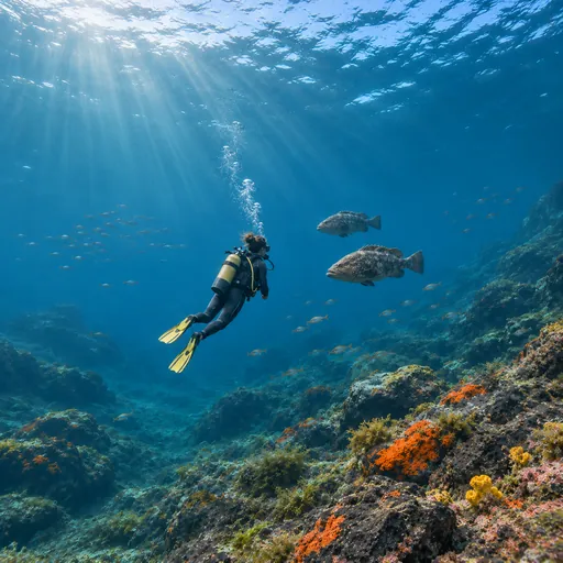 Scuba divingBaixa de Santa Catarina · 4.2 km
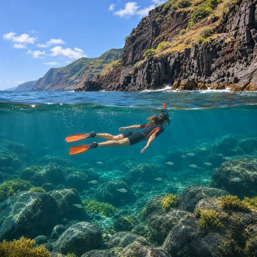 SnorkellingCaniçal (Ponta de São Lourenço) · 7.7 km
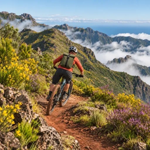 Mountain bikingJoão do Prado - Pico do Suna - Lamaceiros - Bar do Roque · 9.4 km
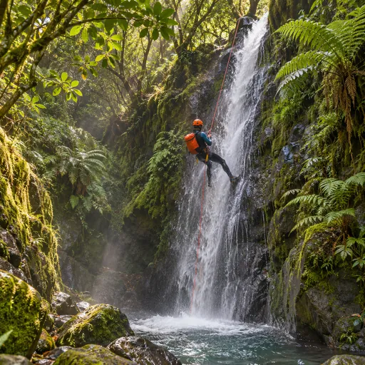 CanyoningRibeira do Poço do Bezerro (Superior) · 10.9 km