Boca do Risco
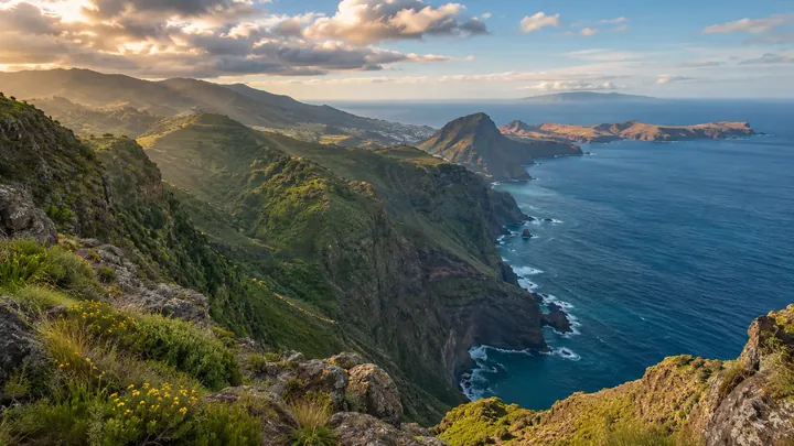
356 m clifftop gap with views to São Lourenço, Penha d'Águia and Porto Santo.
- Height above the sea356 m
- From Funchal≈ 35 min by carRoughly, by car from the middle of Funchal
Sources (2)
The place
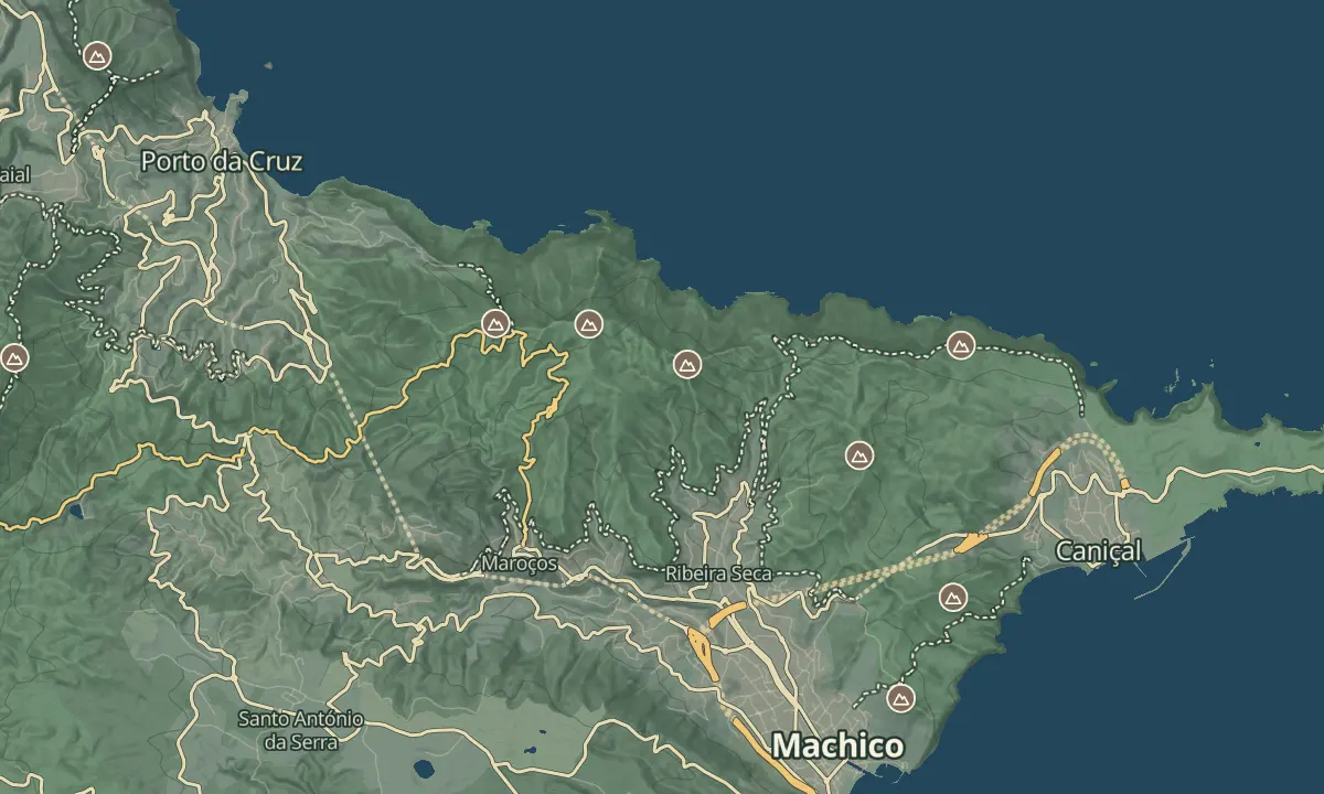
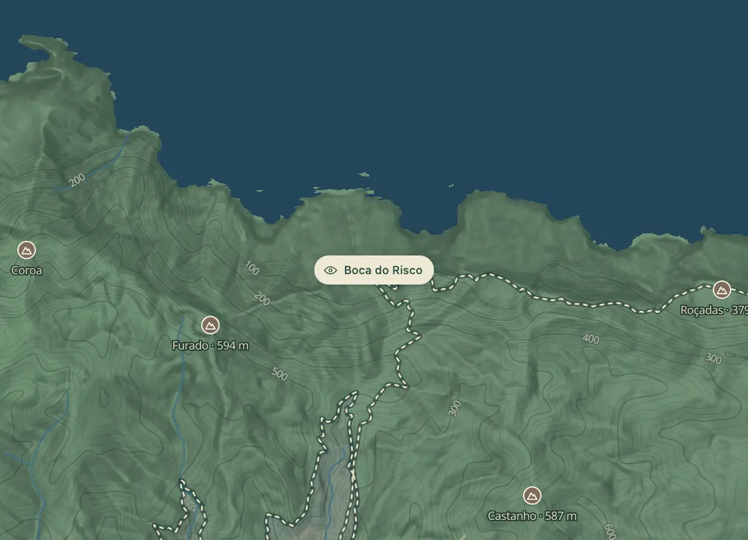
Boca do Risco is a lookout on the clifftops between Porto da Cruz and Machico, at about 350 to 356 m, on the Vereda do Larano. Its name translates as dangerous pass, and the cliffs open out both ways from the pass. Walking in from the Machico side, the valley and Pico do Facho come into view first, and from the Porto da Cruz side Penha d'Águia is visible beyond the village.
The cliff path that reaches the lookout has a steep drop to the sea, but only a few short stretches need real care. The clifftops are windswept, so check the wind before you walk out. Keep back from the edge at the lookout, which drops steeply to the sea. The views are best on a clear day, when the sea and the clifftops stretch away in both directions.
When to come
Clear days with little wind, since the clifftops are exposed and a steep drop lies beside the path.
Getting there
Walk in along the Vereda do Larano from Porto da Cruz or from the Machico side, watching for the right-hand turn up the slight hill from the levada.
Highlights
- Ocean views and clifftops stretch both ways from the pass.
- From the Machico side, the Machico valley and Pico do Facho come into view before the lookout.
- The name translates as dangerous pass, which suits a lookout over a steep drop.
- From the Porto da Cruz side, Penha d'Águia is visible beyond the village.
The view from here
Looking E
The horizon all round, measured on the island’s terrain. In sight: Porto Santo (53 km, NE); Roçadas (379 m · 1.8 km, E); Castanho (587 m · 1.4 km, SE); Furado (594 m · 0.9 km, W); Redondo (837 m · 11.6 km, W); Penha d'Águia (590 m · 7 km, NW).
Measured on the island’s terrain: what no nearer ridge hides · drag to look round
The light here today
- Sunrise
- —
- Sunset
- —
- Golden hour
- —
The view from here
What you see from here
Peaks, places and islands in sight from this spot, by the way they lie. The islands show on a clear day.
- NEPorto Santo53 km
- ERoçadas379 m · 1.8 km
- SECastanho587 m · 1.4 km
- WFurado594 m · 0.9 km
- WRedondo837 m · 11.6 km
- NWPenha d'Águia590 m · 7 km
Before you go
Safety
Edges: a steep drop to the sea; keep back from the edge at the lookout.
Bring
Footwear: shoes with good grip suit the narrow, steep stretches along the cliffs.
Worth knowing
Altitude: about 350 to 356 m.
Route: on the Vereda do Larano between Porto da Cruz and Machico, reached on foot.
Wind: the clifftops are windswept, so check the wind before you walk out.
Turn-off: a right-hand turn up a slight hill from the levada leads to the lookout.