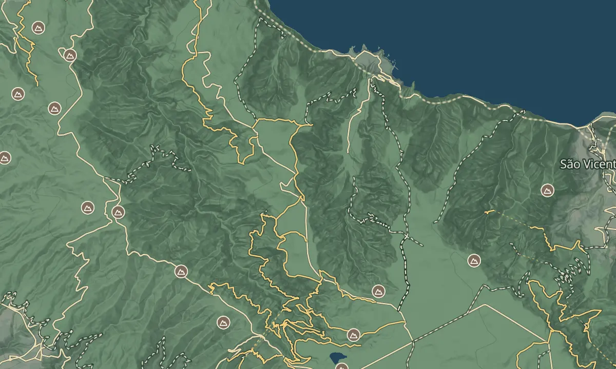
Levada da Rocha Vermelha (PR28)
Past the levada's rapids and through tunnels to the Calheta valley
- Distance10.8 km · one way
- Time4 hr
- DifficultyHard
- From Funchal≈ 1 hr, 5 min by carRoughly, by car from the middle of Funchal
- ParkingOn site
- Tunnel: bring a torch
The place
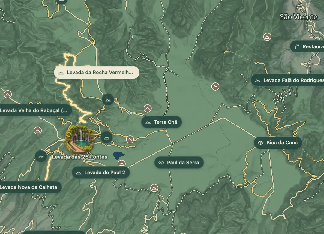
Levada da Rocha Vermelha is the official PR28, 10.8 km one way and about four hours by the panel. Its start, called Fanal, is on the ER 209, about 3.4 km south-east of the Fanal forest in a straight line, and it ends at the Casa dos Guardas de Canal, the canal keepers' house, at Lombo da Atouguia on the slope of the Ribeira da Calheta valley. Heights run between 1,297 m and 837 m. IFCN listed it as closed on 4 November 2026.
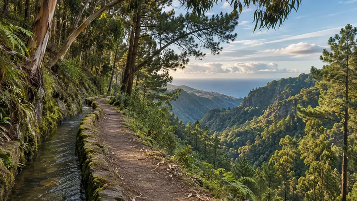
Also called Água do Vimieiro, the levada begins in the Ribeira da Fajã dos Remos and gathers water from the Ribeira do Vimieiro and from tributaries of the Ribeira da Janela, the Ribeira da Calheta and the Ribeira do Seixal, ending at the small Rocha Vermelha loading chamber. A steep stairway runs beside the 'rápidos', the rapids, where the water races steeply downhill, and there are waterfalls, tunnels and natural viewpoints over the Rabaçal and Ribeira da Janela valleys, green with laurissilva, a UNESCO World Natural Heritage site. The levada can also be reached from PR6 Levada das 25 Fontes, which runs higher up.
When to come
Once IFCN reopens it, choose a dry day and start early: the walk takes about four hours, the weather changes often up here, and the ground can be slippery.
Getting there
Navigate to the start on the ER 209 by its coordinates, not to the Fanal forest about 3.4 km to the north-west: a sat-nav set to 'Fanal' sends you to the wrong place. From the road the route shares its first stretch with PR13 Vereda do Fanal, then branches left to the levada. It ends at Lombo da Atouguia, by the Caminho do Lombo da Atouguia road, with the ER 222 leading away south; as it is one way, arrange a lift or call a taxi, Calheta +351 291 822 129 or Porto Moniz +351 291 852 243. The levada can also be reached from the Calheta side at Malhada, by the ER 222 near the Calheta hydroelectric power station.
Highlights
- A steep stairway beside the 'rápidos', the rapids, where the levada's water races downhill.
- A long tunnel section that the panel map draws between the head of the Rabaçal valley and the Calheta side.
- Waterfalls and natural viewpoints over the Rabaçal valley and the Ribeira da Janela valley.
- Laurissilva in the valleys below, a UNESCO World Natural Heritage site and part of the Natura 2000 network.
The walk, start to finish
Before you go
Safety
Today: Closed
Caution: IFCN warns that the route makes technical and physical demands, so be sure it suits your fitness and that you have the right equipment.
Caution: the weather changes often, so carry warm clothes and a waterproof.
Caution: the ground is slippery in places, so wear shoes with a non-slip sole.
Bring
Tunnels: the route goes through tunnels, so bring a torch; IFCN gives no number or length.
Worth knowing
Status: listed as closed by IFCN on 4 November 2026; check that it has reopened before you go.
Booking and fee: pay through SIMplifica; €4.50 in 2026 for visitors over 12, with children 12 and under exempt.
Distance and time: 10.8 km one way, about 4 hours.
Heights: between 837 m and 1,297 m.